Concan in Uvalde County, Texas — The American South (West South Central)
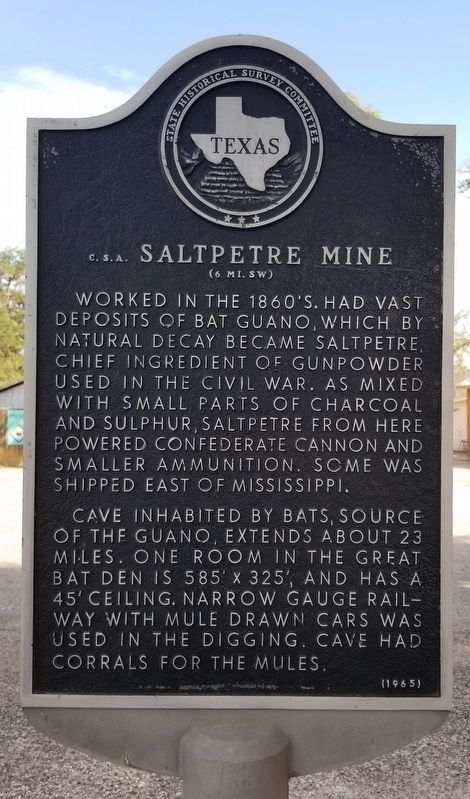
Saltpetre Mine, C.S.A.
(6 Mi. SW)
Cave inhabited by bats, source of the guano, extends about 23 miles. One room in the great bat den is 585' x 325', and has a 45' ceiling. Narrow gauge rail way with mule drawn cars was used in the digging. Cave had corrals for the mules.
Erected 1965 by State Historical Survey Committee. (Marker Number 600.)
Topics. This historical marker is listed in these topic lists: Animals • Industry & Commerce • War, US Civil.
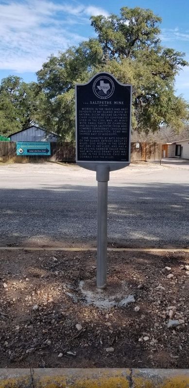
Location. 29° 30.011′ N, 99° 43.296′ W. Marker is in Concan, Texas, in Uvalde County. Marker is at the intersection of State Highway 127 and U.S. 83 on State Highway 127. The marker is located at a small roadside pullover off the highway. Touch for map. Marker is at or near this postal address: 21488 TX-127, Concan TX 78838, United States of America. Touch for directions.
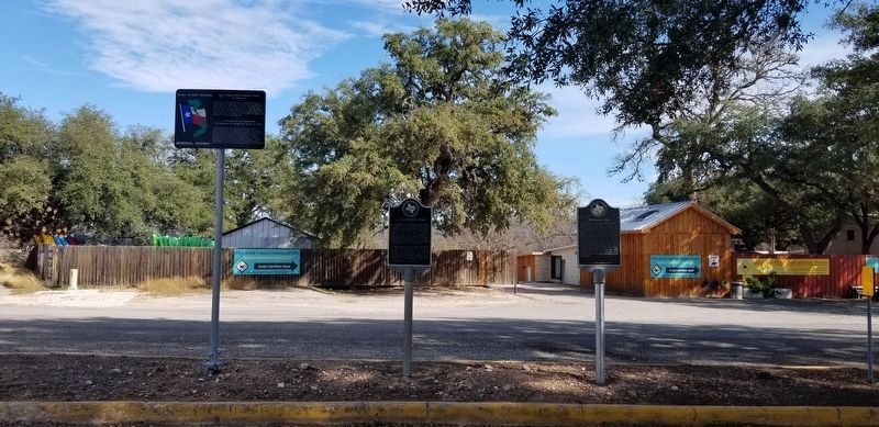
Other nearby markers. At least 8 other markers are within 14 miles of this marker, measured as the crow flies. Silver Mine Pass (here, next to this marker); Civilian Conservation Corps at Garner State Park (approx. 5.9 miles away); Dry Frio Canyon (approx. 7.6 miles away); Lombardy Irrigation Ditch (approx. 9.3 miles away); Captain William Ware (approx. 13˝ miles away); Waresville Cemetery (approx. 13˝ miles away); Old Waresville (approx. 14 miles away); William Ware (approx. 14 miles away). Touch for a list and map of all markers in Concan.
Also see . . . Confederate Bat Guano Kiln, New Braunfels.
The Thomas Anderson mill in northwest Travis County, for example, was designated the Travis Powder Company in 1863 and obtained guano from area caves to extract saltpeter and mix it with sulfur and charcoal (produced by burning cedar trees) to manufacture gunpowder. A similar operation occurred near Concan in Uvalde County where a cave and its resident bat population fueled that region’s saltpeter industry. Miners utilized mule-drawn railcars to transport the guano. Source: The Handbook of Texas(Submitted on January 1, 2022, by James Hulse of Medina, Texas.)
Credits. This page was last revised on January 2, 2022. It was originally submitted on January 1, 2022, by James Hulse of Medina, Texas. This page has been viewed 337 times since then and 39 times this year. Photos: 1, 2, 3. submitted on January 2, 2022, by James Hulse of Medina, Texas.


