Marshallberg in Carteret County, North Carolina — The American South (South Atlantic)
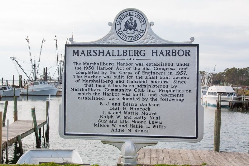
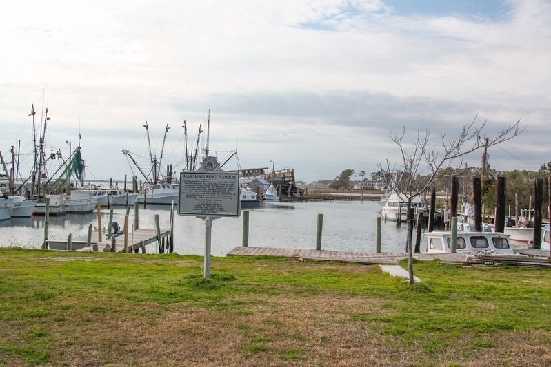
Marshallberg Harbor
The Marshallberg Harbor was established under the 1950 Harbor Act of the 8lst Congress and completed by the Corps of Engineers in 1957. The Harbor was built for the small boat owners of MarshallIberg and transient boaters. Since that time it has been administered by Marshallberg Community Club Inc. Properties on which the Harbor was built, and easements established, were donated by the following:
B. J. and Bessie Jackson • Leah H. Hancock • I. E. and Mattie Moore • Ralph W. and Sally Neal • Guy and Ella Moore Lewis • Mildon W. and Hallie L. Willis • Addie M. Jones
Topics. This historical marker is listed in this topic list: Waterways & Vessels. A significant historical year for this entry is 1950.
Location. 34° 43.269′ N, 76° 31.153′ W. Marker is in Marshallberg, North Carolina, in Carteret County. Marker is on Marshallberg Road, 0.3 miles south of the post office at the corner of Polly Hill Road, on the right when traveling south. Touch for map. Marker is at or near this postal address: 1266 Marshallberg Rd, Marshallberg NC 28553, United States of America. Touch for directions.
Other nearby markers. At least 8 other markers are within 3 miles of this marker, measured as the crow flies. Welcome to Marshallberg… (about 800 feet away, measured in a direct line); Welcome to Gloucester… (approx. 1.3 miles away); Welcome to Straits… (approx. 2.2 miles away); Rain Gardens (approx. 2.4 miles away); Cisterns (approx. 2.4 miles away); Olive Thurlow Anchor (approx. 2˝ miles away); Harkers Island Visitor Center at Cape Lookout National Seashore (approx. 2˝ miles away); Horizon of Islands (approx. 2˝ miles away).
Also see . . . N.C. court rules for public use. Cateret County News-Times website entry:
Describes the creation of the harbor and a lawsuit trying to block the public from accessing it. Excerpt:
Marshallberg Harbor is a manmade harbor. It was built in the 1950s by the U.S. Army Corps of Engineers, in cooperation with several landowners in the unincorporated Marshallberg community and Carteret County.(Submitted on January 2, 2022.)
The purpose was to build a public harbor to offer protection for boats in Sleepy Creek from storms and to encourage more commercial fishermen to come to the area. To that end, three easements were created.
The first, created Oct. 19, 1956, gave Carteret County a perpetual easement on the property, including the right to deposit dredge material. The second, created Oct. 25, 1956, gave the United States the perpetual right to dig and maintain the harbor. The third easement, created June 1, 1957, gave the county perpetual rights to enter, use, manage, improve and maintain land near the mouth of the harbor as a public landing.
Credits. This page was last revised on December 28, 2022. It was originally submitted on January 2, 2022, by J. J. Prats of Powell, Ohio. This page has been viewed 278 times since then and 36 times this year. Photos: 1, 2. submitted on January 2, 2022, by J. J. Prats of Powell, Ohio.

