Myers in Treasure County, Montana — The American West (Mountains)
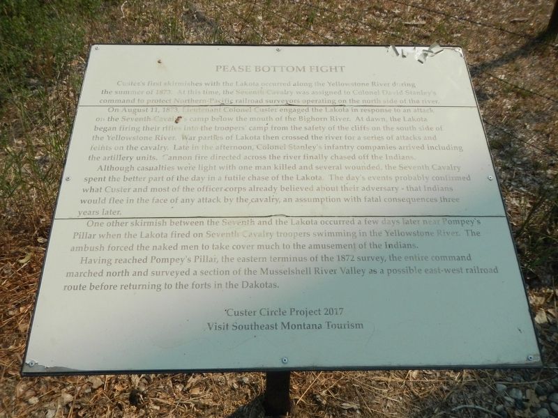
Pease Bottom Fight
On August 11, 1873, Lieutenant Colonel Custer engaged the Lakota in response to an attack on the Seventh Cavalry's camp below the mouth of the Bighorn River. At dawn, the Lakota began firing their rifles into the troopers' camp from the safety of the of the cliffs on the south side the Yellowstone River. War parties of Lakota then crossed the river for a series of attacks and feints on the cavalry. Late in the afternoon, Colonel Stanley's infantry companies arrived including the artillery units. Cannon fire directed across the river finally chased off the Indians.
Although casualties were light with one man killed and several wounded, the Seventh Cavalry spent the better part of the day in a futile chase of the Lakota. The day's events probably confirmed what Custer and most of the officer corps already believed about their adversary - that Indians would flee in the face of any attack by the cavalry, an assumption with fatal consequences three years later.
One other skirmish between the Seventh and the Lakota occurred a few day later near Pompey's Pillar when the Lakota fired on Seventh Cavalry troopers swimming in the Yellowstone River. The ambush forced the naked men to take cover much to the amusement if the Indians.
Having reached Pompey's Pillar, the eastern terminus of the 1872 survey the entire command marched north and surveyed a section of the Musselshell River as a possible east-west railroad route before returning to the forts in the Dakotas.
Erected 2017 by Custer Circle Project 2017 and Visit Southeast Montana Tourism.
Topics. This historical marker is listed in this topic list: Wars, US Indian. A significant historical date for this entry is August 11, 1873.
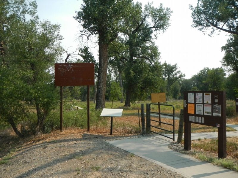
Location. 46° 15.146′ N, 107° 20.38′ W. Marker is in Myers, Montana, in Treasure County. Marker can be reached from Myers Road (State Highway 311) near Old Myers Road, on the right when traveling west. The marker is in BLM's Howrey Island Recreation Area east of the bridge over the Yellowstone River. Touch for map. Marker is in this post office area: Hysham MT 59038, United States of America. Touch for directions.
Other nearby markers. At least 6 other markers are within 9 miles of this marker, measured as the crow flies. Jedediah Smith (approx. 4.8 miles away); Hysham and Treasure County (approx. 4.8 miles away); a different marker also named Jedediah Smith (approx. 4.8 miles away); Fort Pease (approx. 5.8 miles away); Yucca Theatre and David M. Manning Residence (approx. 5.8 miles away); Tullock's Creek (approx. 8.1 miles away).
Additional keywords. Custer
Credits. This page was last revised on January 14, 2022. It was originally submitted on January 3, 2022, by Barry Swackhamer of Brentwood, California. This page has been viewed 480 times since then and 97 times this year. Photos: 1, 2. submitted on January 3, 2022, by Barry Swackhamer of Brentwood, California.

