Near Hardin in Big Horn County, Montana — The American West (Mountains)
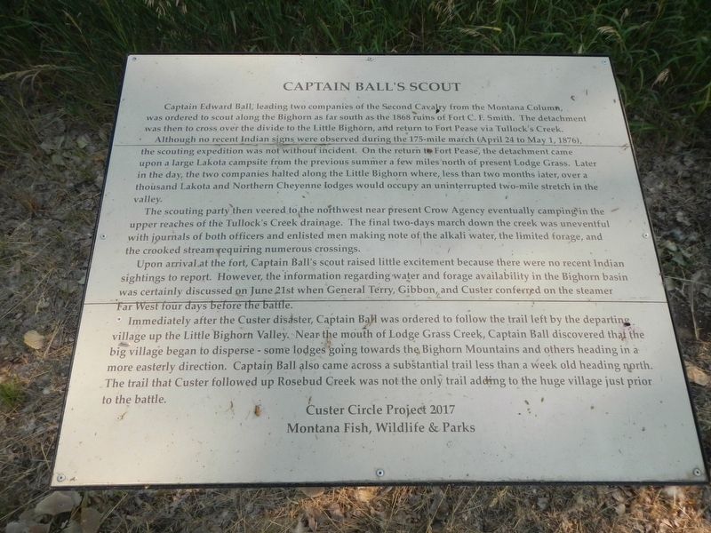
Captain Ball's Scout
Although no recent Indian signs were observed during the 175-mile march (April 24 to May 1, 1876), the scouting expedition was not without incident. On the return to Fort Pease, the detachment came upon a large Lakota campsite from the previous summer, a few miles north of present Lodge Grass. Later in the day, the two companies halted along the Little Bighorn where, left than two months later, over a thousand Lakota and Northern Cheyenne lodges would occupy an uninterrupted two-mile stretch in the valley.
The scouting party then veered to the northwest near present Crow Agency eventually camping in the upper reaches of the Tullock''s Creek drainage. The final two-days march down the creek was uneventful with journals of both officers and enlisted men making note of the alkali water, the limited forage, and the crooked stream requiring numerous crossings.
Upon arrival at the fort, Captain Ball's scout raised little excitement because there were no recent Indian sightings to report. However, the information regarding water and forage availability in the Bighorn basin was certainly discussed on June, 21st when General Terry, Gibbon and Custer conferred on the steamer Far West four days before the battle.
Immediately after the Custer disaster, Captain Ball was ordered to follow the trail left by the departing village up the Little Bighorn Valley. Near the mouth of Lodge Grass Creek, Captain Ball discovered that the big village began to disperse - some lodges going towards the Bighorn Mountains and others heading in a more easterly direction. Captain Ball also came across a substantial trail less than a week-old heading north. The trail that Custer followed up Rosebud Creek was not the only trail adding to the huge village just prior to the battle.
Erected by Custer Circle Project 2017 and Montana Fish, Wildlife & Parks.
Topics. This historical marker is listed in this topic list: Wars, US Indian.
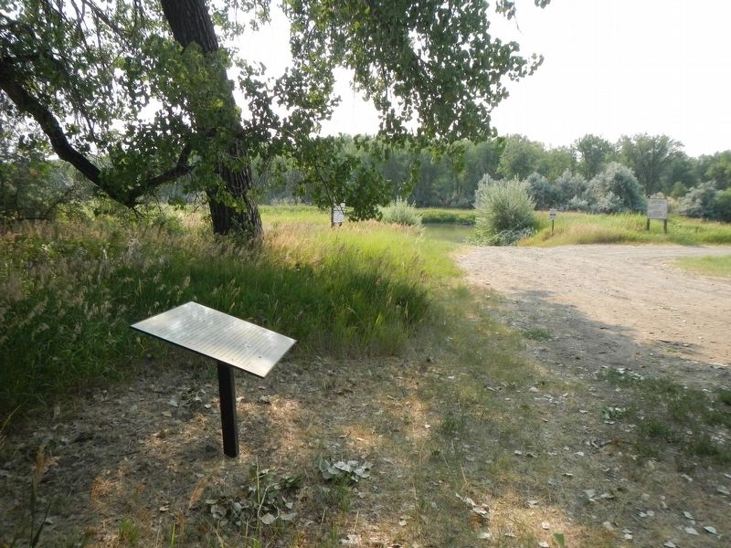
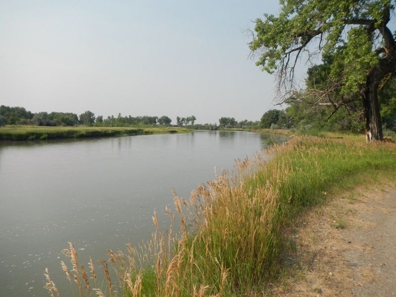
Location. 45° 55.641′ N, 107° 34.496′ W. Marker is near Hardin, Montana, in Big Horn County. Marker is on State Highway 47 near Mehling Road. The marker is beside the Bighorn River at the end of an unnamed fishing access road leading east from the intersection of Montana State Highway 47 and Mehling Road. Touch for map. Marker is in this post office area: Hardin MT 59034, United States of America. Touch for directions.
Other nearby markers. At least 8 other markers are within 14 miles of this marker, measured as the crow flies. Captain Grant Marsh (approx. 5.8 miles away); The Chicago, Burlington & Quincy Railroad (approx. 7.7 miles away); Junction of Bighorn and Yellowstone Rivers (approx. 11.4 miles away); Buffalo Country (approx. 12 miles away); The Great Highway of the Northwest: The Yellowstone Trail (approx. 12 miles away); a different marker also named Junction of Bighorn and Yellowstone Rivers (approx. 12 miles away); Fort Custer (approx. 13 miles away); St. Joseph's Catholic Church (approx. 13.3 miles away). Touch for a list and map of all markers in Hardin.
Additional keywords. Custer
Credits. This page was last revised on January 3, 2022. It was originally submitted on January 3, 2022, by Barry Swackhamer of Brentwood, California. This page has been viewed 412 times since then and 70 times this year. Photos: 1, 2, 3. submitted on January 3, 2022, by Barry Swackhamer of Brentwood, California.


