Fort Smith in Big Horn County, Montana — The American West (Mountains)
Bozeman Trail Crossing
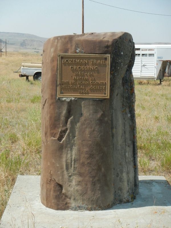
Photographed by Barry Swackhamer, July 19, 2021
1. Bozeman Trail Crossing Marker
Erected 1966 by Big Horn County Historical Society.
Topics. This historical marker is listed in this topic list: Roads & Vehicles. A significant historical year for this entry is 1865.
Location. 45° 18.645′ N, 107° 54.539′ W. Marker is in Fort Smith, Montana, in Big Horn County. It is on Highway 313 near Road C, on the right when traveling west. Touch for map. Marker is at or near this postal address: 2300 State Highway 313, Fort Smith MT 59035, United States of America. Touch for directions.

Regionally, this marker is in andspecifically outheast Montana in Custer Country. It is also in the American Mountain West, in the Lewis & Clark Corridor, on the prairies, on the Great Plains, and specifically on the Northern Plains. Globally, it is in North America, the Rocky Mountains, the Western Hemisphere, the Western World, and the Anglosphere. Historically, it finds itself in what was once Rupert’s Land and also the Louisiana Purchase.
Other nearby markers. At least 2 other markers are within 14 miles of this marker, measured as the crow flies: Hay-Corral Battle (approx. 2.6 miles away); St. Xavier Mission
this page online
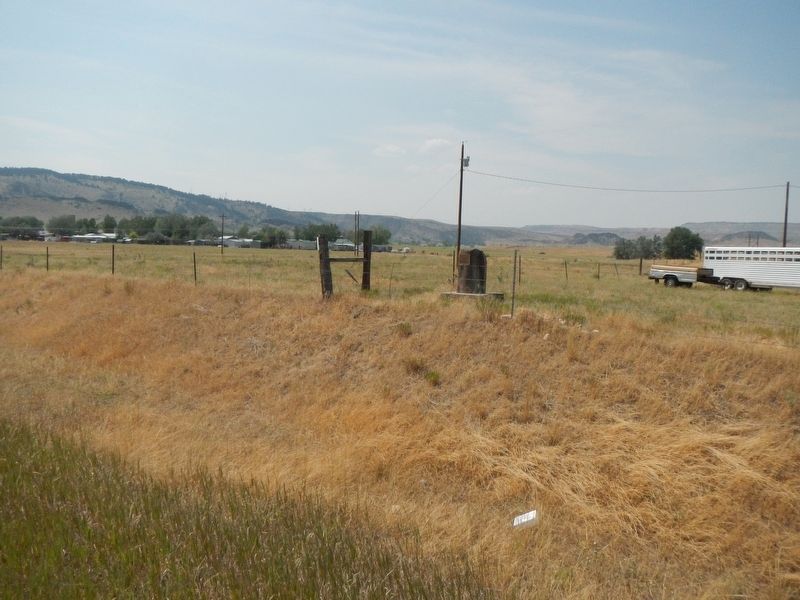
Photographed by Barry Swackhamer, July 19, 2021
2. Bozeman Trail Crossing Marker
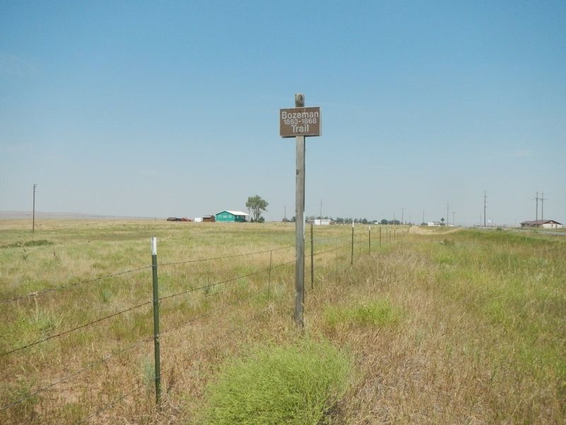
Photographed by Barry Swackhamer, July 19, 2021
3. Bozeman Trail
Credits. This page was last revised on January 5, 2022. It was originally submitted on January 5, 2022, by Barry Swackhamer of Brentwood, California. This page has been viewed 428 times since then and 30 times this year. Photos: 1, 2, 3. submitted on January 5, 2022, by Barry Swackhamer of Brentwood, California.
