North Bethesda in Montgomery County, Maryland — The American Northeast (Mid-Atlantic)
The Riley Plantation
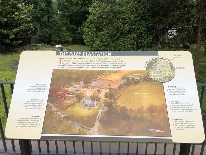
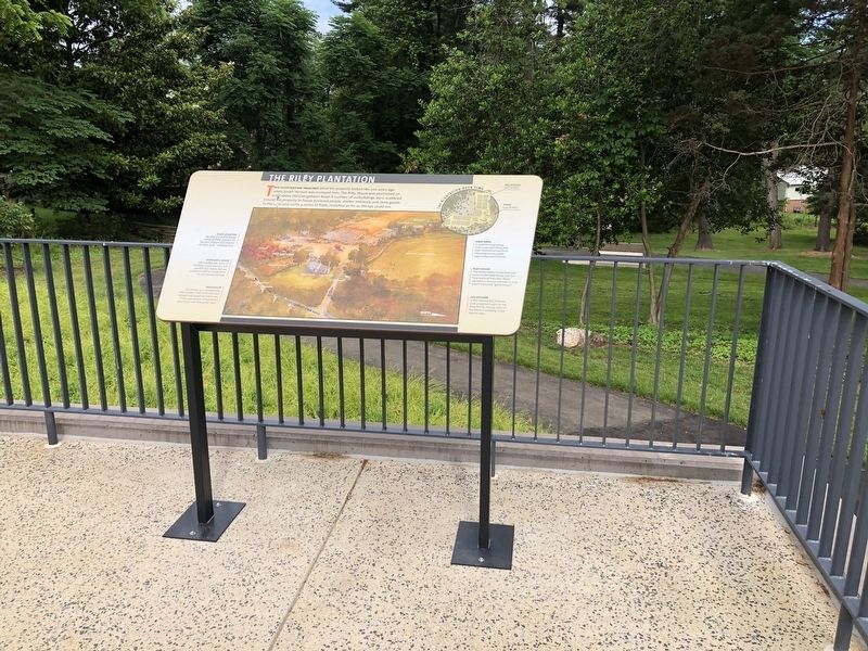
This illustration imagines what the property looked like 200 years ago when Josiah Henson was enslaved here. The Riley House was positioned on a hill above Old Georgetown Road. A number of outbuildings were scattered around the property to house enslaved people, shelter livestock, and store goods. To the west and north, a series of fields stretched as far as the eye could see.
[Captions:]
Slave Quarters
An array of small building served as living quarters for the men, women, and children — as many as 22 — enslaved here.
Overseer's House
This building was home to the Rileys' white overseer. It is possible that Josiah Henson moved in with his family when he was named overseer.
Meathouse
Also known as a smokehouse, this structure held meat that was smoked and stored for future use. In the days before refrigeration, preserved meat held high value.
Bank Barn
In addition to growing field crops, Isaac Riley also kept livestock on the farm, including horses, cattle, pigs, sheep, and chickens.
Riley House
The timber frame house that was home to the Riley family was the focal point of this early 1800s plantation. Henson referred to it as a well-furnished "great house."
Log Kitchen
In the kitchen, the enslaved cook prepared meals for the Riley family. The log walls of the kitchen standing today date to 1850.
The Plantation Over Time
1863 Border (262 acres)
Today (3.35 acres)
Erected 2021 by Montgomery Parks.
Topics. This historical marker is listed in these topic lists: African Americans • Agriculture • Animals. A significant historical year for this entry is 1850.
Location. 39° 2.623′ N, 77° 7.301′ W. Marker is in North Bethesda, Maryland, in Montgomery County. Marker can be reached from Old Georgetown Road (Maryland Route 187) 0.1 miles south of Tilden Lane, on the right when traveling south. Touch for map. Marker is at or near this postal address: 11410 Old Georgetown Rd, Rockville MD 20852, United States of America. Touch for directions.
Other nearby markers. At least 8 other markers are within walking distance of this marker. Josiah Henson (a few steps from this marker); Return to the Riley Farm (a few steps from this marker); A Royal Audience (a few steps from this marker); Life in the Slave Quarters (within shouting distance of this marker); Agriculture on the Riley Plantation (within shouting distance of this marker); The Meathouse: A Food Vault (within shouting distance of this marker); Archaeology at Josiah Henson Park
Credits. This page was last revised on January 5, 2022. It was originally submitted on June 4, 2021, by Devry Becker Jones of Washington, District of Columbia. This page has been viewed 1,325 times since then and 157 times this year. Last updated on January 5, 2022, by Bruce Guthrie of Silver Spring, Maryland. Photos: 1, 2. submitted on June 4, 2021, by Devry Becker Jones of Washington, District of Columbia.

