Long Beach in Los Angeles County, California — The American West (Pacific Coastal)
Bay of Smokes
1986, by Patrick Mohr
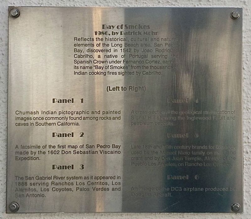
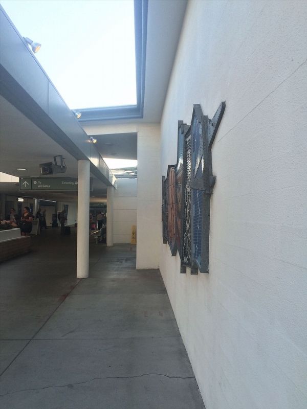
Bay of Smokes reflect the historical, cultural, and natural elements of the Long Beach area. San Pedro Bay, discovered in 1542 by Joao Rodriquez Cabrillo, a native of Portugal serving the Spanish Crown under Fernando Cortez carried its name "Bay of Smokes" from the thousands of Indian cooking fires sighted by Cabrillo.
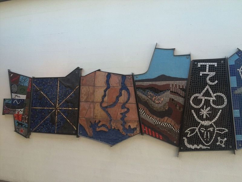
Panel 1. Chumash Indian pictographic and painted images once commonly found among rocks and caves in Southern California.
Panel 2. A facsimile of the first map of San Pedro Bay made by the 1602 Don Sebastian Viscaino Expedition.
Panel 3. The San Gabriel River system as it appeared in 1888 serving Ranchos Los Cerritos, Los Alamitos, Los Coyotes, Palos Verdes and San Antonio.
Panel 4. A cross-section of the geological stratification of Signal Hill showing the Inglewood Fault and petroleum deposits.
Panel 5. Late 18th and 19th century brands for livestock used by the Manuel Niero family on their land grant and by Don Juan Temple, Alcade of the Pueblo Los Angeles, on Rancho Los Cerritos.
Panel 6. An image of the DC3 airplane produced by Douglas Aircraft.
Erected 1986 by Patrick Mohr.
Topics. This historical marker is listed in these topic lists: Arts, Letters, Music • Colonial Era • Exploration • Native Americans • Settlements & Settlers. A significant historical year for this entry is 1542.
Location. 33° 49.079′ N, 118° 8.68′ W. Marker is in Long Beach, California, in Los Angeles County. Marker can be reached from Donald Douglas Drive, 0.1 miles west of Barbara London Drive, on the right when traveling south. Touch for map. Marker is at or near this postal address: 4100 Donald Douglas Dr, Long Beach CA 90808, United States of America. Touch for directions.
Other nearby markers. At least 8 other markers are within walking distance of this marker. Long Beach Airport Terminal (within shouting distance of this marker); First Around the World Globe (approx. 0.7 miles away); Douglas Park (approx. 0.7 miles away); Cover Street (approx. 0.7 miles away); Worsham Avenue (approx. 0.7 miles away); a different marker also named First Around the World Globe (approx. 0.7 miles away); Seven Decades of Aircraft Production (approx. 0.8 miles away); October 17, 1941 (approx. 0.8 miles away). Touch for a list and map of all markers in Long Beach.
Credits. This page was last revised on January 30, 2023. It was originally submitted on January 7, 2022, by Adam Margolis of Mission Viejo, California. This page has been viewed 632 times since then and 92 times this year. Photos: 1, 2, 3. submitted on January 7, 2022, by Adam Margolis of Mission Viejo, California. • Devry Becker Jones was the editor who published this page.


