Near Decker in Big Horn County, Montana — The American West (Mountains)
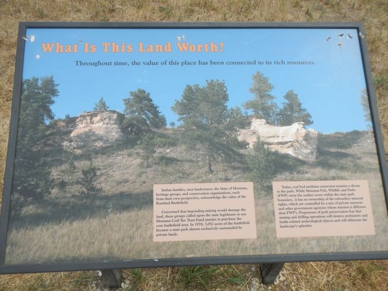
What Is This Land Worth?
Indian families, area landowners, the State of Montana, heritage groups, and conservation organizations, each from their own perspective, acknowledge the value of the Rosebud Battlefield.
Concerned that impending mining would damage the land, these groups called upon the state legislature to use Montana Coal Tax Fund monies to purchase the core battlefield area, In 1978, 3,052 acres of the battlefield became a state park almost exclusively surrounded by private lands.
Today, coal bed methane extraction remains a threat to the park. While Montana Fish, Wildlife and Parks (FWP) owns the surface acres within the state park boundary, it has no ownership of the subsurface mineral rights, which are controlled by a mix of private interests and other government agencies whose mission is different than FWPs. Proponents of park preservation fear that mining and drilling operations will destroy prehistoric and battle-related archeological (sic) objects and will obliterate the landscape's splendor
Erected by Montan Fish, Wildlife and Parks.
Topics. This historical marker is listed in these topic lists: Environment • Natural Resources.
Location. 45° 13.131′ N, 106° 58.42′ W. Marker is near Decker, Montana, in Big Horn County. Marker can be reached from Rosebud Road, 1˝ miles west of State Highway 314, on the right. Touch for map. Marker is in this post office area: Decker MT 59025, United States of America. Touch for directions.
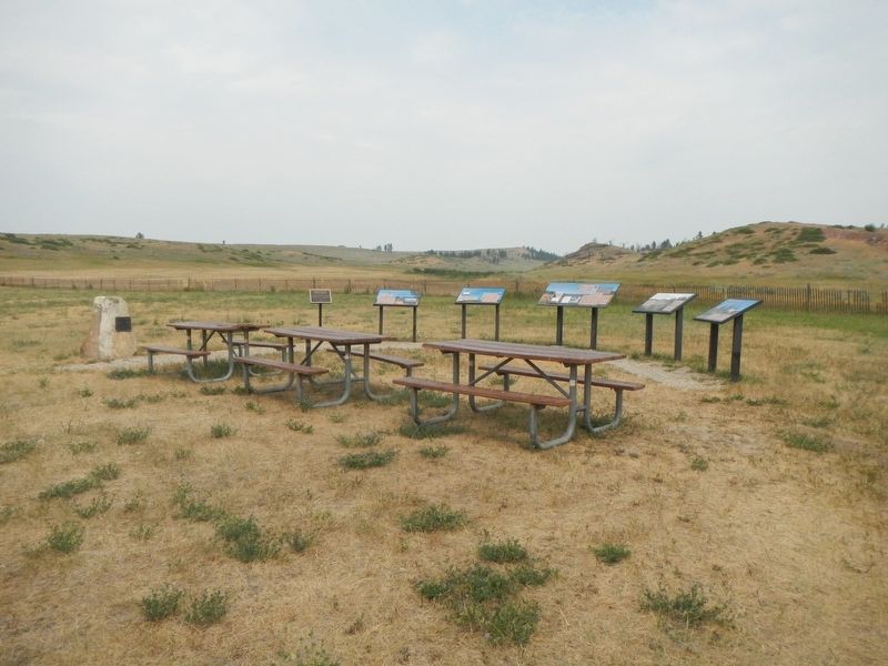
Other nearby markers. At least 5 other markers are within 2 miles of this marker, measured as the crow flies. The Land Speaks (here, next to this marker); General Crook's Troops (a few steps from this marker); The Time When The People Fought The Soldiers. (a few steps from this marker); The Way They Saw It (a few steps from this marker); Rosebud Battlefield (approx. 1.2 miles away).
Credits. This page was last revised on January 8, 2022. It was originally submitted on January 8, 2022, by Barry Swackhamer of Brentwood, California. This page has been viewed 88 times since then and 9 times this year. Photos: 1, 2. submitted on January 8, 2022, by Barry Swackhamer of Brentwood, California.

