Near Havre de Grace in Harford County, Maryland — The American Northeast (Mid-Atlantic)
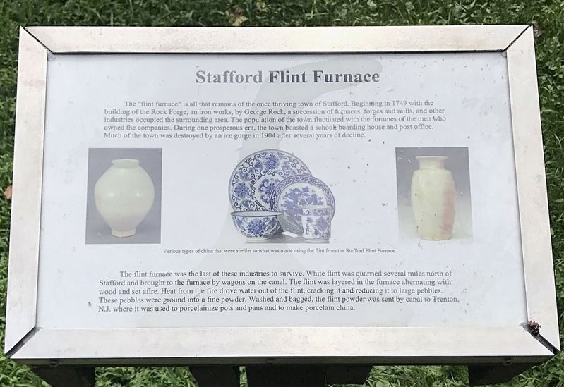
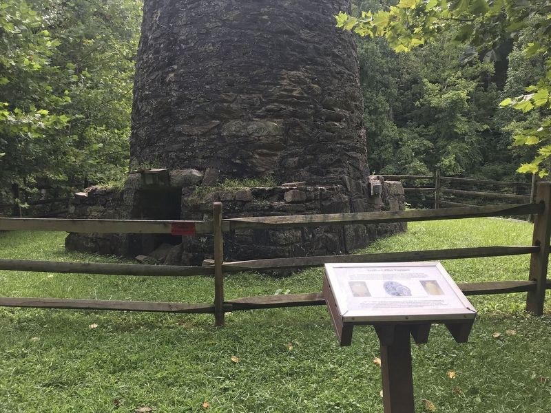
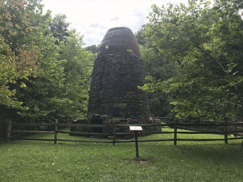
Stafford Flint Furnace
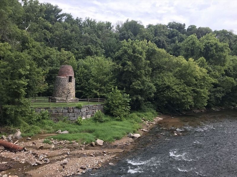
The "flint furnace" is all that remains of the once thriving town of Stafford. Beginning in 1749 with the building of the Rock Forge, an iron works, by George Rock, a succession of furnaces, forges and mills, and other industries occupied the surrounding area. The population of the town fluctuated with the fortunes of the men who owned the companies. During one prosperous era, the town boasted a school, boarding house and post office. Much of the town was destroyed by an ice gorge in 1904 after several years of decline.
The flint furnace was the last of these industries to survive. White flint quarried several miles north of Stafford and brought to the furnace by wagons on the canal. The flint was layered in the furnace alternating with wood and set afire. Heat from the drove water out of the flint, cracking it and reducing it to large pebbles. These pebbles were ground into a fine powder. Washed and bagged, the flint powder was sent by canal to Trenton, N.J. where it was used to porcelainize pots and pans and to make porcelain china.
Topics. This historical marker is listed in these topic lists: Colonial Era • Industry & Commerce. A significant historical year for this entry is 1749.
Location. 39° 37.406′ N, 76° 9.833′ W. Marker is near Havre de Grace, Maryland, in Harford County . Marker can be reached from Stafford Road west of Craigs Corner Road, on the right when traveling west. Touch for map. Marker is at or near this postal address: 1101 Stafford Rd, Darlington MD 21034, United States of America. Touch for directions.
Other nearby markers. At least 8 other markers are within 2 miles of this marker, measured as the crow flies. The Mouth of Deer Creek (approx. 1.1 miles away); Tollhouse and Covered Bridge at Rock Run (approx. 1˝ miles away); Rock Run (approx. 1˝ miles away); Miller's House (approx. 1˝ miles away); Explore Your Chesapeake (approx. 1˝ miles away); Toll House & Tidewater Canal (approx. 1˝ miles away); Rock Run Landing (approx. 1˝ miles away); Carter-Archer House (approx. 1.6 miles away). Touch for a list and map of all markers in Havre de Grace.
Credits. This page was last revised on November 22, 2022. It was originally submitted on January 8, 2022, by Adam Margolis of Mission Viejo, California. This page has been viewed 537 times since then and 63 times this year. Photos: 1, 2, 3, 4. submitted on January 8, 2022, by Adam Margolis of Mission Viejo, California. • J. Makali Bruton was the editor who published this page.


