Cody in Park County, Wyoming — The American West (Mountains)
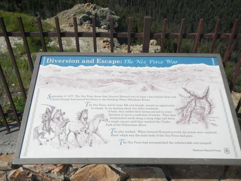
Diversion and Escape: The Nez Perce War
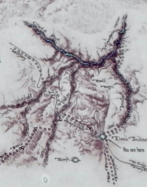
The Nez Perce, led by Lean Elk and Joseph, sensed an opportunity to escape. In an opening about two miles southeast of here, they milled their horses around every direction to leave a confusion of tracks. They then backtracked north along a steep ridge and down a rough canyon until they reached the Clarks Fork of the Yellowstone River.
The ploy worked. When General Howard arrived, his scouts were confused about which way the main body of the Nez Perce had gone.
The Nez Perce had accomplished the unbelievable and escaped!
Erected by Shoshone National Forest, U.S. Forest Service.
Topics. This historical marker is listed in these topic lists: Native Americans • Wars, Non-US. A significant historical date for this entry is September 9, 1877.
Location. 44° 44.609′ N, 109° 22.989′ W. Marker is in Cody, Wyoming, in Park County. Marker is on Dead Indian Hill Road (aka Crandall Road) (State Highway 296) near County Highway 103, on the right when traveling west. The marker is located at the Dead Indian Pass Overlook. Touch for map. Marker is in this post office area: Cody WY 82414, United States of America. Touch for directions.
Other nearby markers. At least 3 other markers are within walking distance of this marker. One Last Mountain: The Nez Perce War (here, next to this marker); The Military: The Nez Perce War (here, next to this marker); Dead Indian Hill Summit (a few steps from this marker).
Additional keywords. Diversion and Escape: The Nez Perce War
Credits. This page was last revised on January 10, 2022. It was originally submitted on January 10, 2022, by Barry Swackhamer of Brentwood, California. This page has been viewed 178 times since then and 14 times this year. Photos: 1, 2, 3. submitted on January 10, 2022, by Barry Swackhamer of Brentwood, California.


