Near Volcano in Hawaii County, Hawaii — Hawaiian Island Archipelago (Pacific Ocean)
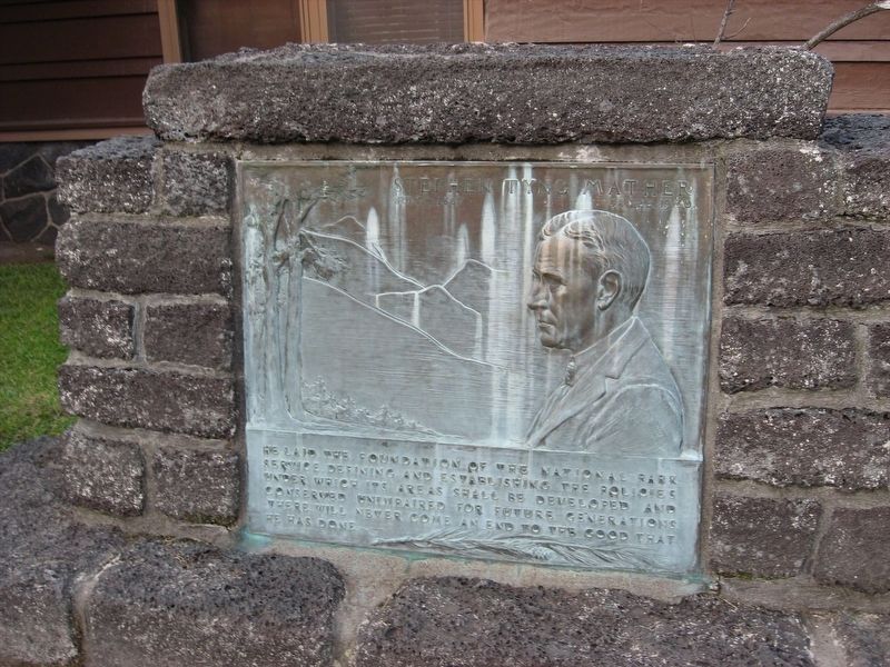
Stephen Tyng Mather
— July 4, 1867 - January 22, 1930 —
He laid the foundation of the National Park Service, defining and establishing the policies under which its areas shall be developed and conserved unimpaired for future generations. There will never come an end to the good that he has done.
Topics and series. This historical marker is listed in these topic lists: Charity & Public Work • Environment • Parks & Recreational Areas. In addition, it is included in the Stephen Tyng Mather series list.
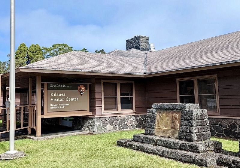
Location. 19° 25.768′ N, 155° 15.424′ W. Marker is near Volcano, Hawaii, in Hawaii County. Marker can be reached from Crater Rim Drive, 0.3 miles west of Hawaii Belt Road (Hawaii Route 11), on the right when traveling west. Located at the Kilauea Visitor Center. Touch for map. Marker is at or near this postal address: 1 Crater Rim Dr, Volcano HI 96785, United States of America. Touch for directions.
Other nearby markers. At least 8 other markers are within 3 miles of this marker, measured as the crow flies. Hawaii Volcanoes National Park (here, next to this marker); Countless are the Accomplishments of Roosevelt's Trusty "Tree Army" (a few steps from this marker); Kilauea (a few steps from this marker); The 'Ōhi'a Wing will soon be home to the park's collection of artwork and artifacts (about 300 feet away, measured in a direct line); The Volcano House reigns as one of America's great lodges (about 400 feet away); Site of Hawaiian Volcano Observatory (about 400 feet away); Explosive eruptions rock Kīlauea volcano (approx. 1.8 miles away); Mauna Loa (approx. 2.1 miles away). Touch for a list and map of all markers in Volcano.
Credits. This page was last revised on April 17, 2022. It was originally submitted on January 11, 2022, by Adam Margolis of Mission Viejo, California. This page has been viewed 89 times since then and 11 times this year. Photos: 1. submitted on January 11, 2022, by Adam Margolis of Mission Viejo, California. 2. submitted on April 17, 2022, by Craig Baker of Sylmar, California. • Andrew Ruppenstein was the editor who published this page.

