Vienna in Dorchester County, Maryland — The American Northeast (Mid-Atlantic)
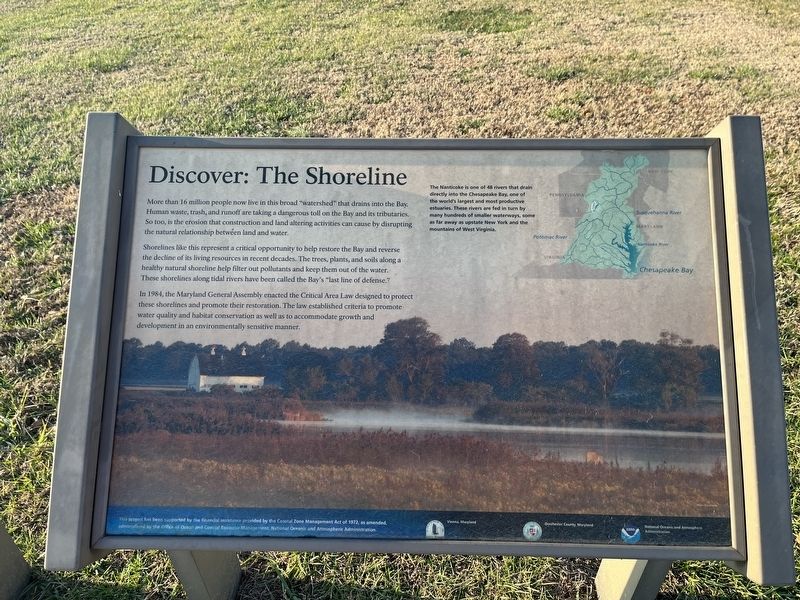
Discover: The Shoreline
More than 16 million people now live in this broad "watershed" that drains into the Bay. Human waste, trash, and runoff are taking a dangerous toll on the Bay and its tributaries. So too, is the erosion that construction and land altering activities can cause by disrupting the natural relationship between land and water.
Shorelines like this represent a critical opportunity to help restore the Bay and reverse the decline of its living resources in recent decades. The trees, plants, and soils along a healthy natural shoreline help filter out pollutants and keep them out of the water. These shorelines along tidal rivers halve been called the Bay's "last line of defense."
In 1984, the Maryland General Assembly enacted the Critical Area Law designed to protect these shorelines and promote their restoration. The law established criteria to promote water quality and habitat conservation as well as to accommodate growth and development in an environmentally sensitive manner.
The Nanticoke is one of 48 rivers that drain directly into the Chesapeake Bay, one of the world's largest and most productive estuaries. These rivers are fed in turn by many hundreds of smaller waterways, some as far away as upstate New York and the mountains of West Virginia.
Erected by Chesapeake Bay Gateways Network.
Topics. This historical marker is listed in these topic lists: Environment • Waterways & Vessels. A significant historical year for this entry is 1984.
Location. 38° 28.921′ N, 75° 49.437′ W. Marker is in Vienna, Maryland, in Dorchester County. Marker is on Water Street just north of Church Street, on the left when traveling south. Touch for map. Marker is at or near this postal address: 114 Water St, Vienna MD 21869, United States of America. Touch for directions.
Other nearby markers. At least 8 other markers are within 2 miles of this marker, measured as the crow flies. Discover: Vienna (about 400 feet away, measured in a direct line); Discover: The Nanticoke (about 400 feet away); Discover: Restoration (about 400 feet away); A walking tour of Vienna (about 600 feet away); John Smith Explores the Chesapeake (approx. ¼ mile away); Discover: Vienna Heritage (approx. ¼ mile away); Unnacokossimmon (approx. 0.4 miles away); The Nanticoke Historic Preservation Alliance (approx. 2 miles away). Touch for a list and map of all markers in Vienna.

Photographed By Devry Becker Jones (CC0), January 14, 2022
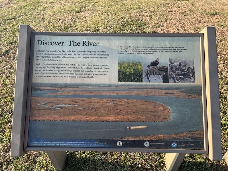
3. Discover: The River sign
This sign stands adjacent to the marker. It does not contain any historically significant information.
Credits. This page was last revised on January 15, 2022. It was originally submitted on January 15, 2022, by Devry Becker Jones of Washington, District of Columbia. This page has been viewed 97 times since then and 8 times this year. Photos: 1, 2, 3. submitted on January 15, 2022, by Devry Becker Jones of Washington, District of Columbia.

