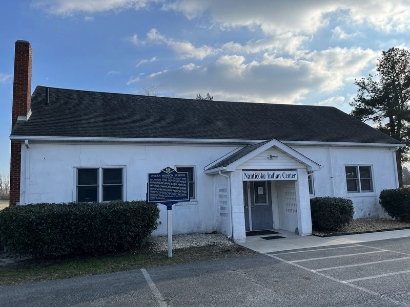
Near Millsboro in Sussex County, Delaware — The American Northeast (Mid-Atlantic)
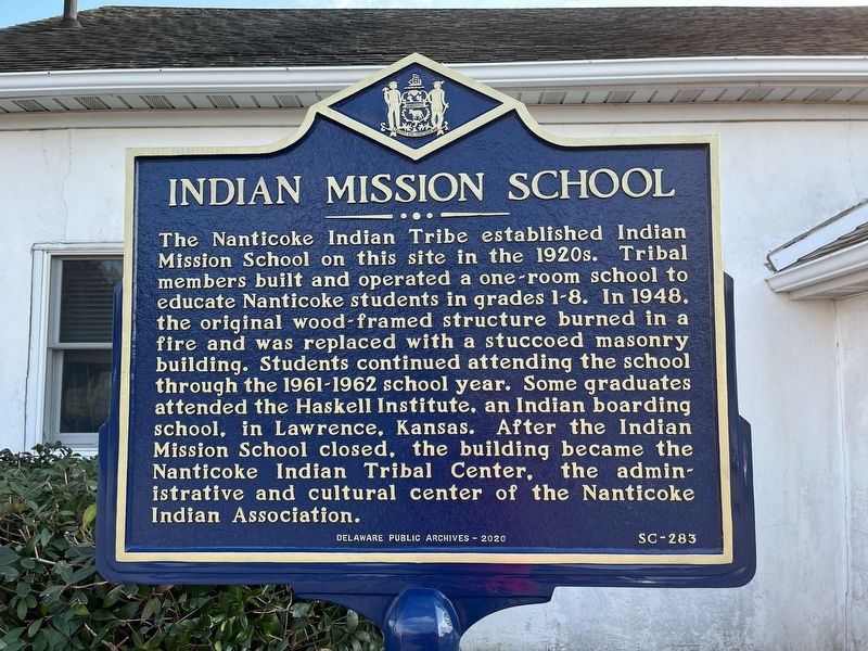
Indian Mission School
Erected 2020 by Delaware Public Archives. (Marker Number SC-283.)
Topics and series. This historical marker is listed in these topic lists: Education • Native Americans. In addition, it is included in the Delaware Public Archives series list. A significant historical year for this entry is 1948.
Location. 38° 36.369′ N, 75° 12.702′ W. Marker is near Millsboro, Delaware, in Sussex County. Marker is on John J Williams Highway (Delaware Route 24) just east of Rosedale Way, on the right when traveling east. Touch for map. Marker is at or near this postal address: 27073 John J Williams Hwy, Millsboro DE 19966, United States of America. Touch for directions.
Other nearby markers. At least 8 other markers are within 5 miles of this marker, measured as the crow flies. Harmony United Methodist Church (approx. 0.4 miles away); Rosedale Beach Hotel and Resort (approx. ¾ mile away); Veterans Memorial (approx. 1.2 miles away); Chair of Honor (approx. 1.2 miles away); Patton Medium Tank (approx. 1.2 miles away); Bullseye-Ferry Landing (approx. 1.7 miles away); Baltimore Hundred (approx. 3½ miles away); Askekesky (approx. 4.2 miles away). Touch for a list and map of all markers in Millsboro.

Photographed By Devry Becker Jones (CC0), January 14, 2022
2. The Nanticoke Indian Center, formerly the Indian Mission School
Credits. This page was last revised on January 15, 2022. It was originally submitted on January 15, 2022, by Devry Becker Jones of Washington, District of Columbia. This page has been viewed 170 times since then and 45 times this year. Photos: 1, 2. submitted on January 15, 2022, by Devry Becker Jones of Washington, District of Columbia.
