Near Absarokee in Stillwater County, Montana — The American West (Mountains)
Bozeman Trail
Photographed by Barry Swackhamer, July 22, 2021
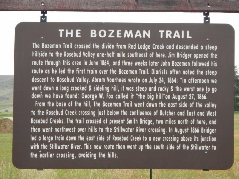
1. Bozeman Trail Marker
From the base of the hill, the Bozeman Trail went down the east side of the valley to Rosebud Creek crossing just below the confluence of Butcher and East and West Rosebud Creeks. The trail crossed at present Smith Bridge, two miles north of here, and went northwest over hills to the Stillwater River crossing. In August 1866 Bridger led a large train down the east side of Rosebud Creek to a new crossing above its junction with the Stillwater River. This new route then went up the south side of the Stillwater to the earlier crossing, avoiding
this page online
Erected by Montana Department of Transportation.
Topics. This historical marker is listed in this topic list: Roads & Vehicles. A significant historical month for this entry is June 1864.
Location. 45° 27.321′ N, 109° 26.926′ W. Marker is near Absarokee, Montana, in Stillwater County. It is on State Highway 78 at milepost 28 near Arena Drive, on the right when traveling north. Touch for map. Marker is at or near this postal address: 2839 Montana State Highway 78, Absarokee MT 59001, United States of America. Touch for directions.

Regionally, this marker is in Montana’s Yellowstone Country. It is also in the American Mountain West and in the Lewis & Clark Corridor. Globally, it is in North America, the Rocky Mountains, the Western Hemisphere, the Western World, and the Anglosphere. Historically, it finds itself in what was once Rupert’s Land and also the Louisiana Purchase.
Other nearby markers. At least 6 other markers are within 16 miles of this marker, measured as the crow flies: The Rosebud Agency (approx. 1.3 miles away); Cobblestone School (approx. 3.9 miles away); Oliver H. Hovda House (approx. 4.6

Photographed by Barry Swackhamer, July 22, 2021
2. Bozeman Trail Marker and Monument to Rev. J.F. Madson
Photographed by Barry Swackhamer, July 22, 2021
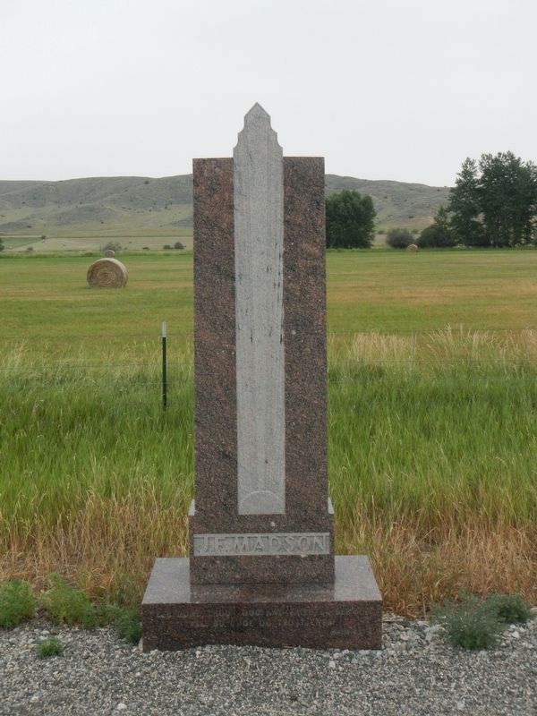
3. Monument to Rev. J.F. Madson
Credits. This page was last revised on January 19, 2022. It was originally submitted on January 19, 2022, by Barry Swackhamer of Brentwood, California. This page has been viewed 597 times since then and 68 times this year. Photos: 1, 2, 3. submitted on January 19, 2022, by Barry Swackhamer of Brentwood, California.
