Mont Belvieu in Chambers County, Texas — The American South (West South Central)
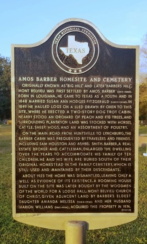
Amos Barber Homesite and Cemetery
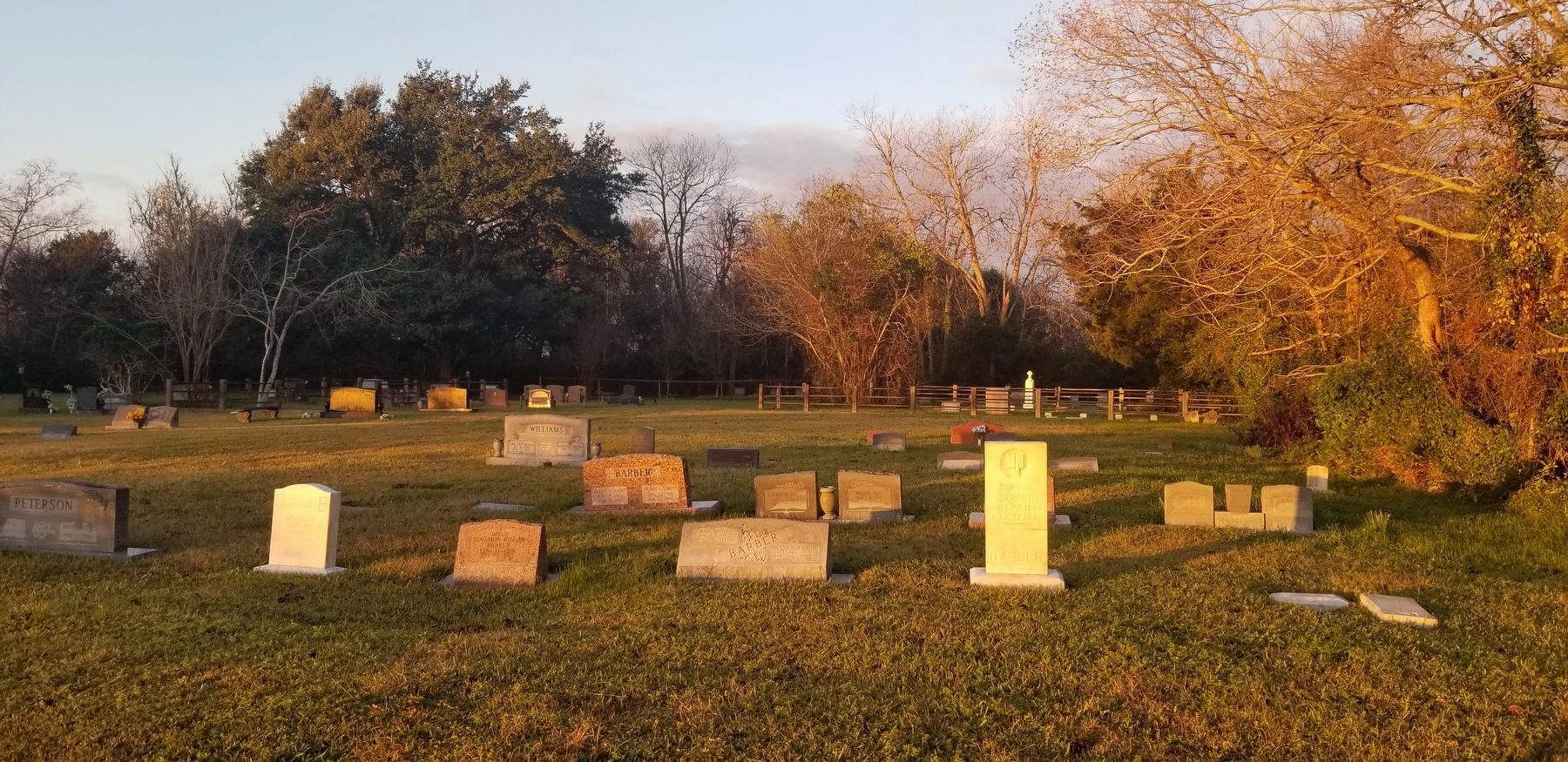
On the main road from Huntsville to Lynchburg, the Barber cabin was frequented by travelers and friends, including Sam Houston and Ashbel Smith. Barber, a real estate broker and cattleman, enlarged the dwelling over the years to accommodate his family of ten children. He and his wife are buried south of their original homestead in the family cemetery, which is still used and maintained by their descendants.
About 1923 the home was dismantled, leaving only a well as evidence of its existence. A rooming house built on the site was later bought by the Woodmen of the World for a lodge hall. Mont Belvieu Church of Christ, given adjcent land by Barber's eldest daughter Amanda Melissa (1850-1933) and her husband Marion Williams (1851-1934), acquired this property in 1974.
Erected by Chambers County Historical Commission, City of Mont Belvieu & West Chambers County Historical & Genealogical Society
Erected 1977 by Texas Historical Commission. (Marker Number 9080.)
Topics. This historical marker is listed in these topic lists: Cemeteries & Burial Sites • Settlements & Settlers. A significant historical year for this entry is 1848.
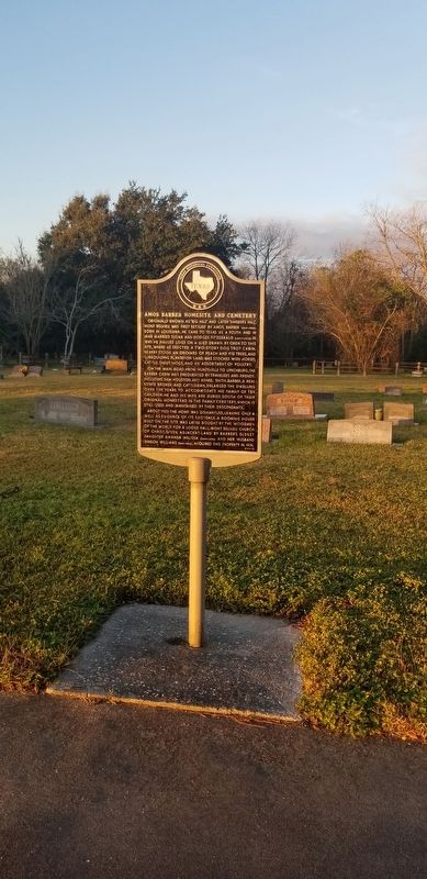
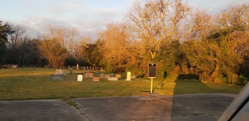
Location. 29° 50.932′ N, 94° 53.513′ W. Marker is in Mont Belvieu, Texas, in Chambers County. Marker is on North Main Street (State Highway 207) 0.1 miles north of Avenue B (Farm to Market Road 565), on the left when traveling north. The marker is located in front of the cemetery just past a small parking lot. Touch for map. Marker is at or near this postal address: 1123 North Main Street, Baytown TX 77523, United States of America. Touch for directions.
Other nearby markers. At least 8 other markers are within 5 miles of this marker, measured as the crow flies. First United Methodist Church and Cemetery of Mont Belvieu (approx. 0.2 miles away); Barbers Hill Oil Field (approx. 1.2 miles away); First United Methodist Church of Mont Belvieu (approx. 2 miles away); Henry and Amelia Griffith (approx. 3.1 miles away); Hartman Cemetery (approx. 4 miles away); Old River (approx. 4.1 miles away); Near Home Site of John Peter Sjolander (approx. 4.2 miles away); St. Emily Methodist Church (approx. 4.6 miles away). Touch for a list and map of all markers in Mont Belvieu.
Also see . . . Barber, Amos (1814–1885).
Amos Barber was a rancher and cattleman who started out as early as 1841 with sixty-five head of cattle and increased his holdings moderately. He had eight slaves working his lands by the time the Civil War ended. Like most of his contemporaries, he suffered severe financial reverses from the war and never recovered the prosperity he had enjoyed. Source: The Handbook of Texas(Submitted on January 21, 2022, by James Hulse of Medina, Texas.)
Credits. This page was last revised on January 21, 2022. It was originally submitted on January 21, 2022, by James Hulse of Medina, Texas. This page has been viewed 1,241 times since then and 74 times this year. Photos: 1, 2, 3, 4. submitted on January 21, 2022, by James Hulse of Medina, Texas.


