Near Tapoco in Graham County, North Carolina — The American South (South Atlantic)
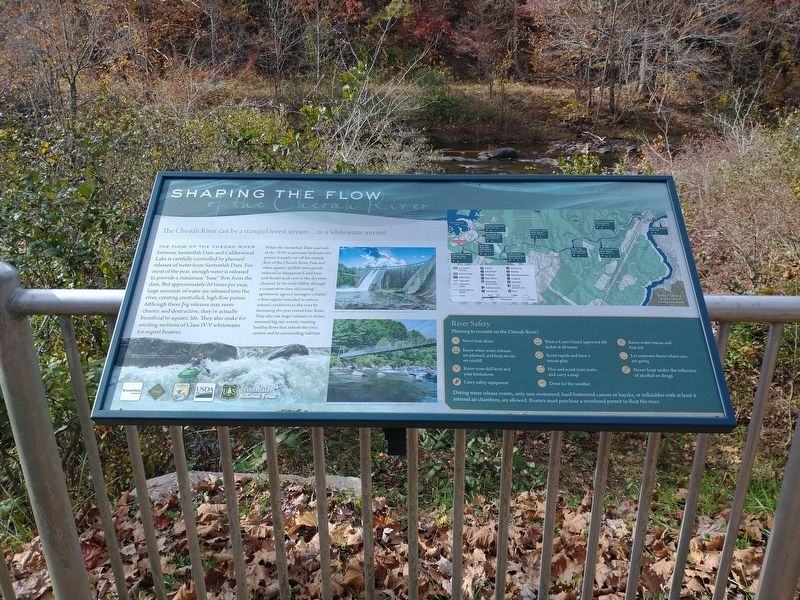
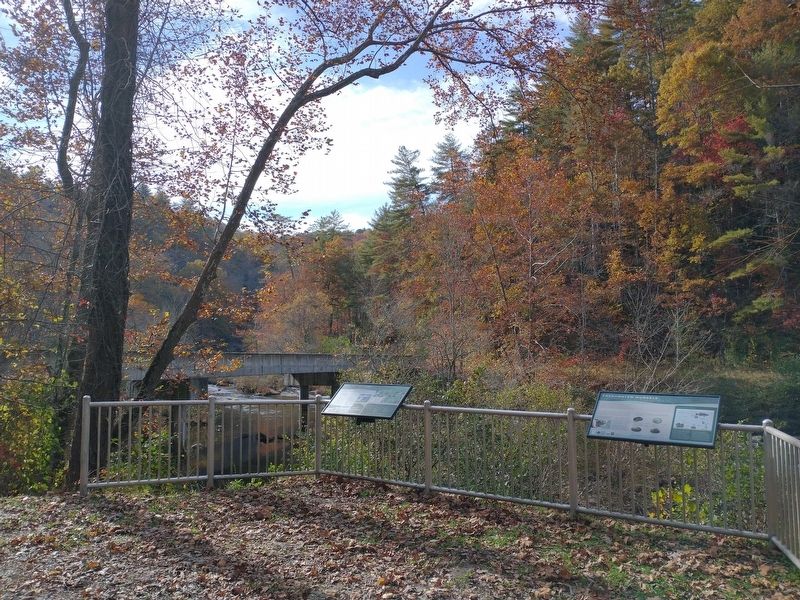
Shaping the Flow of the Cheoah River
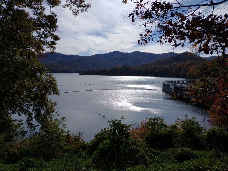
The flow of the Cheoah River between Santeetlah Dam and Calderwood Lake is carefully controlled by planned releases of water from Santeetlah Dam. For most of the year, enough water is released to provide a minimum “base” flow from the dam. But approximately 20 times per year, large amounts of water are released into the river, creating controlled, high flow pulses. Although these big releases may seem chaotic and destructive, they’re actually beneficial to aquatic life. They also make for exciting sections of Class IV-V whitewater for expert boaters.
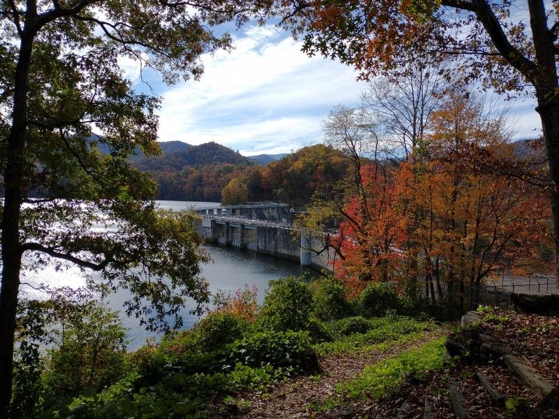
When the Santeetlah Dam was built in the 1920s to generate hydroelectric power, it nearly cut off the natural flow of the Cheoah River. Fish and other aquatic wildlife were greatly reduced or disappeared, and trees and shrubs took root in the dry river channel. In the early 2000s, through a cooperative dam relicensing agreement, agency managers created a flow regime intended to restore natural conditions to the river by increasing the year-round base flows. They also use larger releases to mimic seasonal big rain events, creating healthy flows that refresh the river system and its surrounding habitats.
(captions)
Kayaking the Cheoah - Courtesy of the Nantahala National Forest
Santeetlah Dam – Courtesy of the Nantahala National Forest
Cheoah River – Courtesy of the Nantahala National Forest
Topics. This historical marker is listed in these topic lists: Industry & Commerce • Waterways & Vessels.
Location. 35° 22.869′ N, 83° 51.812′ W. Marker is near Tapoco, North Carolina, in Graham County. Marker is at the intersection of Joyce Kilmer Road (County Highway 1134) and Santeelah Dam Road (County Highway 1146), on the left when traveling north on Joyce Kilmer Road. Touch for map. Marker is in this post office area: Robbinsville NC 28771, United States of America. Touch for directions.
Other nearby markers. At least 8 other markers are within 6 miles of this marker, measured as the crow flies. A different marker also named Shaping the Flow of the Cheoah River (approx. 2.2 miles away); Joyce Kilmer Memorial Forest (approx. 4.4 miles away); a different marker also named Shaping the Flow of the Cheoah River (approx. 4˝ miles away); Junaluska (approx. 5.1 miles away); Civil War in Graham County (approx. 5.2 miles away); Junaluska's Names (approx. 5.2 miles away); Junaluska's Meeting With Tecumseh at Soco Gap (approx. 5.2 miles away); Junaluska's Birth Site (approx. 5.2 miles away). Touch for a list and map of all markers in Tapoco.
Credits. This page was last revised on February 5, 2022. It was originally submitted on January 22, 2022, by Tom Bosse of Jefferson City, Tennessee. This page has been viewed 89 times since then and 6 times this year. Photos: 1, 2, 3, 4, 5. submitted on January 22, 2022, by Tom Bosse of Jefferson City, Tennessee. • Bernard Fisher was the editor who published this page.


