Oakley in Contra Costa County, California — The American West (Pacific Coastal)
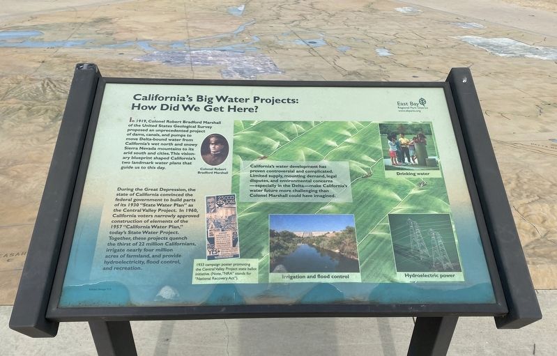
California's Big Water Projects: How Did We Get Here?
Inscription.
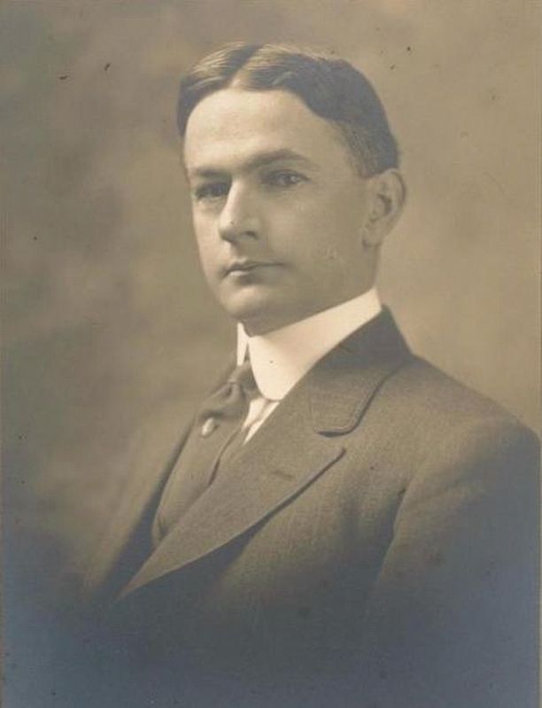
In 1919, Colonel Robert Bradford Marshall
of the United States Geological Survey
proposed an unprecedented project
of dams, canals, and pumps to
move Delta-bound water from
California's wet north and snowy
Sierra Nevada mountains to its
arid south and cities. This visionary blueprint shaped California's
two landmark water plans that
guide us to this day.
During the Great Depression, the state of California convinced the federal government to build parts of its 1930 "State Water Plan” as the Central Valley Project. In 1960, California voters narrowly approved construction of elements of the 1957 "California Water Plan," today's State Water Project. Together, these projects quench the thirst of 22 million Californians, irrigate nearly four million acres of farmland, and provide hydroelectricity, flood control, and recreation.
California's water development has proven controversial and complicated. Limited supply, mounting demand, legal disputes, and environmental concerns - especially in the Delta-make California's water future more challenging than Colonel Marshall could have imagined.
Erected by East Bay Regional Parks District.
Topics. This historical marker is listed in these topic lists: Agriculture • Environment. A significant historical year for this entry is 1919.
Location. 38° 0.696′ N, 121° 43.708′ W. Marker is in Oakley, California, in Contra Costa County. Marker can be reached from Big Break Road. Touch for map. Marker is in this post office area: Oakley CA 94561, United States of America. Touch for directions.
Other nearby markers. At least 8 other markers are within 5 miles of this marker, measured as the crow flies. The Migrating Delta (here, next to this marker); Carquinez Strait (a few steps from this marker); The San Joaquin: A River Runs Dry (within shouting distance of this marker); Dredges (about 700 feet away, measured in a direct line); Stopped by Impenetrable Marshes (approx. 0.2 miles away); "...What we see and have before us is not a river, but much water in a pond" (approx. 1.3 miles away); Anza Expedition Campsite 101 (approx. 1.3 miles away); July 4, Anno Domini, 1951 (approx. 4.2 miles away). Touch for a list and map of all markers in Oakley.
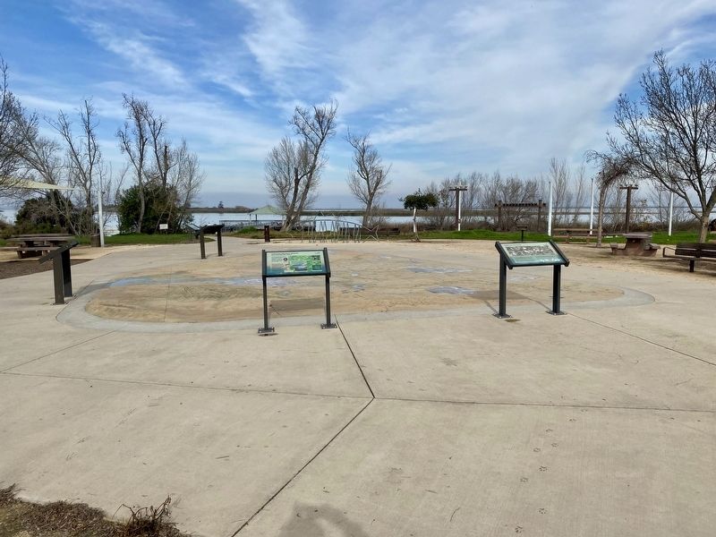
More about this marker. The marker is located in Big Break Regional Shoreline at the Delta Discovery Experience.
Also see . . . State Water Project (California Department of Water Resources).
"The California State Water Project (SWP) is a multi-purpose water storage and delivery system that extends more than 705 miles -- two-thirds the length of California. A collection of canals, pipelines, reservoirs, and hydroelectric power facilities delivers clean water to 27 million Californians, 750,000 acres of farmland, and businesses throughout our state."(Submitted on January 24, 2022.)
Credits. This page was last revised on January 24, 2022. It was originally submitted on January 24, 2022, by Andrew Ruppenstein of Lamorinda, California. This page has been viewed 243 times since then and 61 times this year. Photos: 1, 2, 3. submitted on January 24, 2022, by Andrew Ruppenstein of Lamorinda, California.


