Lower Township near Cape May in Cape May County, New Jersey — The American Northeast (Mid-Atlantic)
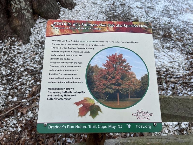
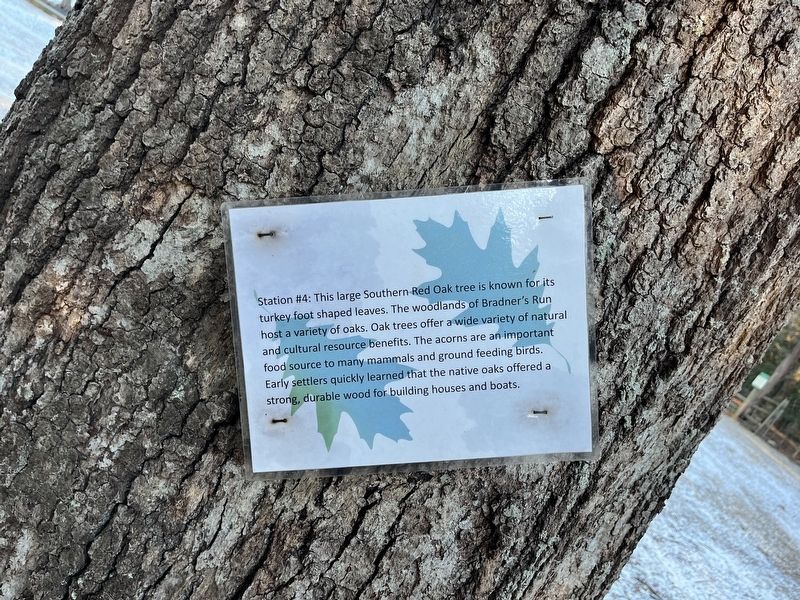
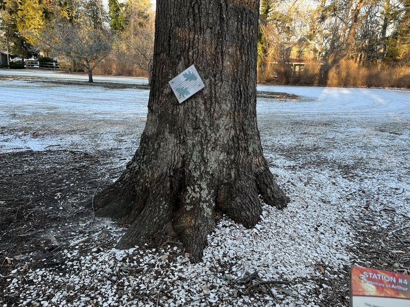
Southern Red Oak
Erected by Historic Cold Spring Vilage. (Marker Number 4.)
Topics. This historical marker is listed in these topic lists: Colonial Era • Horticulture & Forestry • Industry & Commerce • Settlements & Settlers • Waterways & Vessels.
Location. 38° 58.604′ N, 74° 54.798′ W. Marker is near Cape May, New Jersey, in Cape May County. It is in Lower Township. Marker can be reached from Seashore Road (Route 626) 0.3 miles north of Academy Road (County Road 639), on the right when traveling north. Touch for map. Marker is at or near this postal address: 735 Seashore Rd, Cape May NJ 08204, United States of America. Touch for directions.
Other nearby markers. At least 8 other markers are within walking distance of this marker. Welcome to the Nature Trail at Bradner's Trail (a few steps from this marker); Tulip Poplar (within shouting distance of this marker); Cold Spring Grange Hall (about 300 feet away, measured in a direct line); Pitch Pine (about 400 feet away); Sweetbay Magnolia (about 400 feet away); Southern Arrowwood (about 600 feet away); Historic Cold Spring Village (about 700 feet away); Red Mulberry (about 700 feet away). Touch for a list and map of all markers in Cape May.
Additional commentary.
1. Bias in the marker
This marker features biased language. Instead of early settlers, it could feature early European settlers.
— Submitted January 25, 2022, by Devry Becker Jones of Washington, District of Columbia.

Photographed By Devry Becker Jones (CC0), January 22, 2022
3. Nearby Southern Red Oak aka Spanish Oak nature signage
This signage features no historical content.
Credits. This page was last revised on March 14, 2024. It was originally submitted on January 25, 2022, by Devry Becker Jones of Washington, District of Columbia. This page has been viewed 94 times since then and 7 times this year. Photos: 1, 2, 3. submitted on January 25, 2022, by Devry Becker Jones of Washington, District of Columbia.

