Woodland Hills near Calabasas in Los Angeles County, California — The American West (Pacific Coastal)
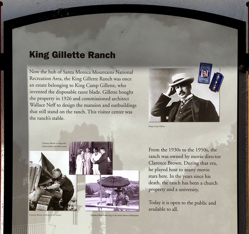
King Gillette Ranch
Santa Monica Mountains National Recreation Area Visitor Center
Photographed by Craig Baker, January 27, 2022
1. King Gillette Ranch Marker
Topics. This historical marker is listed in these topic lists: Architecture • Entertainment • Industry & Commerce • Parks & Recreational Areas. A significant historical year for this entry is 1926.
Location. 34° 6.184′ N, 118° 42.451′ W. Marker is near Calabasas, California, in Los Angeles County. It is in Woodland Hills. It can be reached from Mulholland Highway 0.1 miles east of Las Virgenes Road, on the right when traveling east. Touch for map.
this page online

Regionally, this marker is in California’s The Valley (the San Fernando Valley), in Greater Los Angeles, and in the Transverse Ranges. It is also on the American Pacific Coast. Globally, it is in North America, on the Ring of Fire, on the Pacific Rim, in the Western Hemisphere, in the Western World, and in the Anglosphere. Historically, it finds itself in what was once New Spain and also Mexico’s Alta California.
Other nearby markers. At least 8 other markers are within 3 miles of this marker, measured as the crow flies: People Throughout Time (approx. 0.7 miles away); The World's Stage (approx. ¾ mile away); Mulholland Scenic Corridor (approx. 0.8 miles away); Century Ranch (approx. 1.2 miles away); Calabasas Schoolhouse Bell (approx. 2.1 miles away); M*A*S*H (approx. 2.2 miles away); Reagan Ranch (approx. 2.3 miles away); Paramount Ranch (approx. 2.9 miles away). Touch for a list and map of all markers in Calabasas.
Also see . . . Santa Monica Mountains National Recreation Area.
Photographed by Craig Baker, January 27, 2022
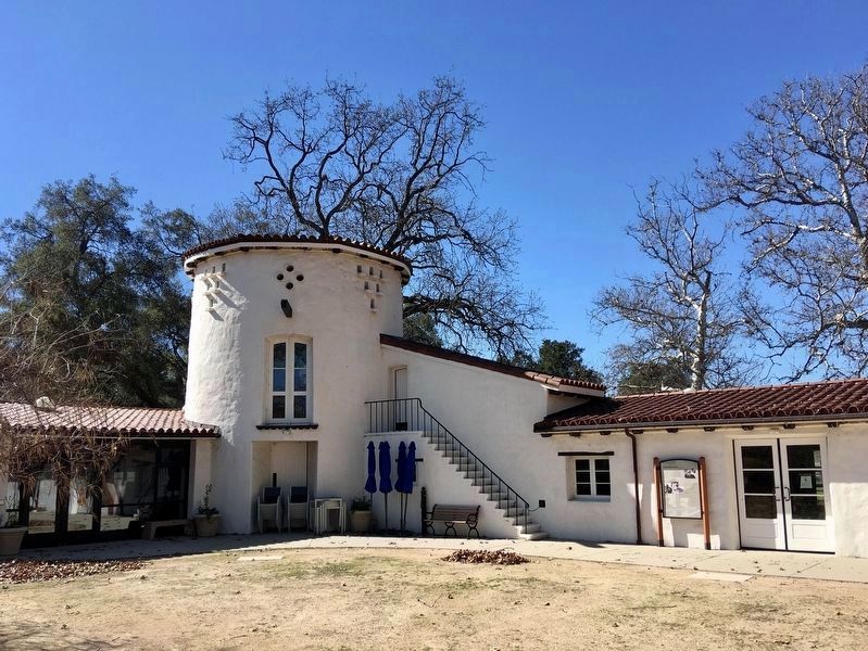
2. Visitor Center and Marker
The marker is in the courtyard behind the Visitor Center.
Photographed by Craig Baker, January 27, 2022
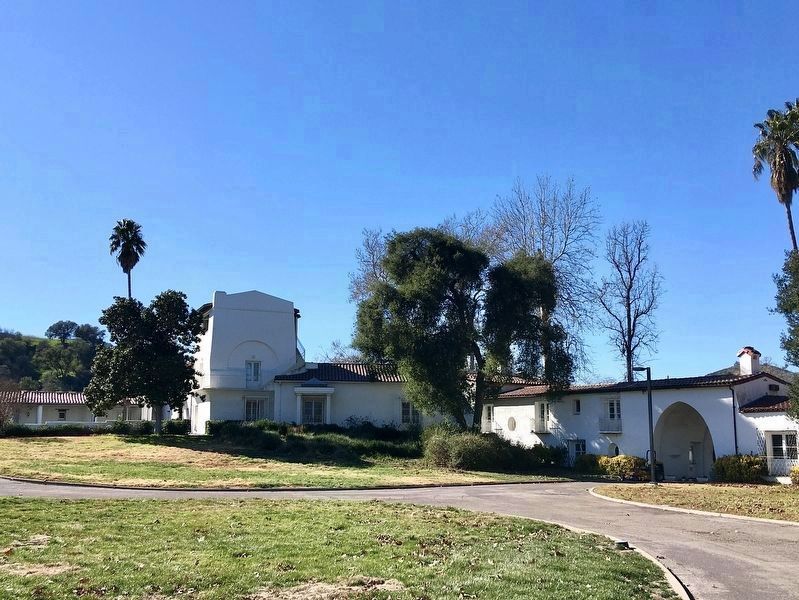
3. Gillette Mansion
Photographed by Craig Baker, January 27, 2022
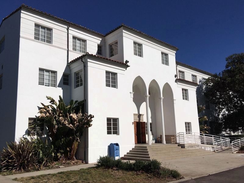
4. Dormitory building
Credits. This page was last revised on January 30, 2023. It was originally submitted on January 28, 2022, by Craig Baker of Sylmar, California. This page has been viewed 1,305 times since then and 57 times this year. Photos: 1, 2, 3, 4. submitted on January 28, 2022, by Craig Baker of Sylmar, California.
