Ocracoke in Hyde County, North Carolina — The American South (South Atlantic)
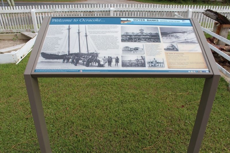
Welcome to Ocracoke…
— Outer Banks National Scenic Byway —
Ocracoke Inlet is the only North Carolina inlet that has remained open since European contact. During the colonial period it was the primary gateway for goods transported between the mainland, England and other colonies.
Because of its dynamic nature, pilots were settled at Ocracoke (then called Pilot Town) to guide vessels through the uncharted waters. The village grew steadily. In 1840 more than 400 people lived at Ocracoke, and as many as 1400 vessels passed through Ocracoke Inlet.
After the 1846 hurricane, Hatteras Inlet opened and many of the pilots moved there. Those who remained on Ocracoke generally followed seafaring tradition and shipped out on coastal schooners.
Storms and hurricanes have had significant impacts on the island. Many older homes are constructed from salvaged ship timbers.
In October, 1837, a hurricane drove the steamboat Home onto the beach seven miles northeast of Ocracoke village. This was the largest disaster on the North Carolina coast with 95 of the 130 passengers drowned. Congress responded by establishing a U.S. Life-Saving Station here in 1883 and passing the Steamboat Act. This Act required passenger ships to carry one life-preserver per person. The Home only had two and those that wore them survived.
At the close of the 19th century, steamboats started bringing well-heeled visitors and a large Victorian hotel was built to accommodate them. Hunting and fishing attracted sportsmen in the early 20th century. The establishment of ferry service and paved roads in the mid-1950s began Ocracoke’s development into a popular and enduring tourist destination.
(captions)
The Ponzer Hotel | Ocracoke Preservation Society. Ellen Cloud Collection
The Pamlico Inn | Ocracoke Preservation Society Collection
Channel Bass | Ocracoke Preservation Society Collection
Thurston Gaskill | Ocracoke Preservation Society, Ellen Cloud Collection The Hatteras Inlet Coast Guard Station, 1955 | Ocracoke Preservation Society, Alice Rondthaler Collection
The Hatteras Inlet Lifesaving Station | Ocracoke Preservation Society, Ellen Cloud Collection
A Taste of Ocracoke…
Fried Drum Ocracoke Style
1 Drum (Channel Bass) fillet / cut-up
2 cups corn meal
1/3 cup lard or rendered bacon fat
Salt – enough to salt your fish
Slat and roll the fish in corn meal. Fry the pieces in hot fat until brown. Serve hot with rolls, coleslaw, and cold boiled white beans or black-eyed peas.
Adapted from Mrs. Dell Scarborough
Erected by Federal Highway Administration National Scenic Byways Program; Dare, Hyde, and Carteret Counties; Dare County Tourism Board.
Topics and series. This historical marker is listed in these topic lists: Colonial Era • Disasters • Industry & Commerce • Settlements & Settlers • Waterways & Vessels. In addition, it is included in the Outer Banks National Scenic Byway series list.
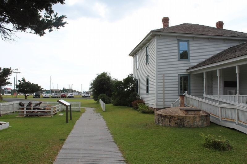
Location. 35° 6.998′ N, 75° 59.083′ W. Marker is in Ocracoke, North Carolina, in Hyde County. Marker is at the intersection of Water Plant Road and NPS Road, on the left when traveling east on Water Plant Road. Marker is located in front of the Ocracoke Preservation Society Museum. Touch for map. Marker is at or near this postal address: 49 Water Plant Road, Ocracoke NC 27960, United States of America. Touch for directions.
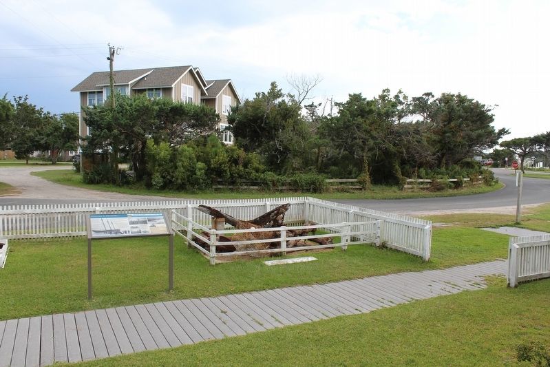
Other nearby markers. At least 8 other markers are within walking distance of this marker. Ocracoke Windmills (here, next to this marker); Ship's Rudder (here, next to this marker); Late 19th Century Cistern (here, next to this marker); The Blanche (a few steps from this marker); Ocracoke’s Commercial Fishing Heritage (within shouting distance of this marker); USRC Mercury (about 300 feet away, measured in a direct line); Lt. Robert Maynard (about 300 feet away); Harboring Change (about 400 feet away). Touch for a list and map of all markers in Ocracoke.
Also see . . . Ocracoke Preservation Society Museum & Gift Shop. (Submitted on January 30, 2022.)
Credits. This page was last revised on January 31, 2022. It was originally submitted on January 30, 2022, by Tom Bosse of Jefferson City, Tennessee. This page has been viewed 146 times since then and 7 times this year. Photos: 1, 2, 3. submitted on January 30, 2022, by Tom Bosse of Jefferson City, Tennessee. • Bernard Fisher was the editor who published this page.


