Maypearl in Ellis County, Texas — The American South (West South Central)
Ozro Cemetery
Photographed by J Frye Fort Worth TX, January 29, 2022
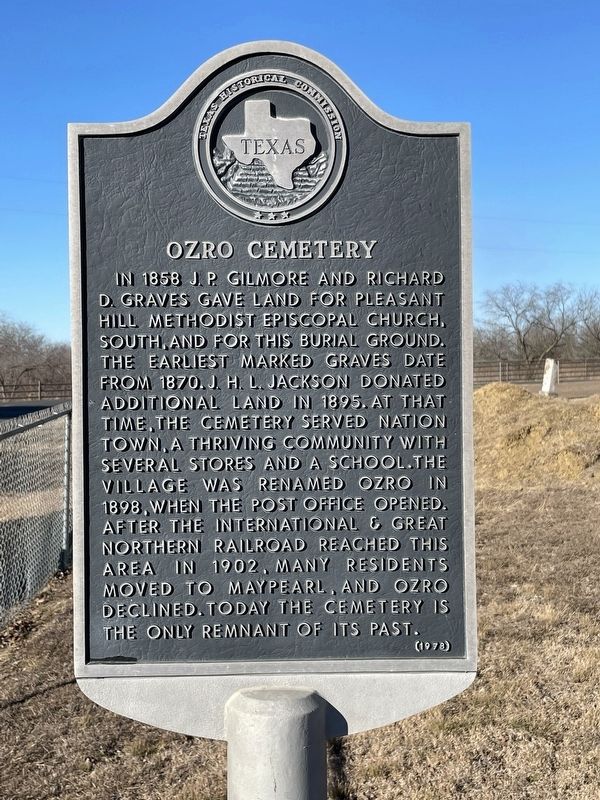
1. Ozro Cemetery Marker
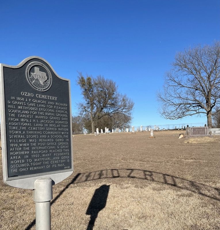
In 1858 J.P. Gilmore and Richard D. Graves gave land for Pleasant Hill Methodist Episcopal Church, south, and for this burial ground. The earliest marked graves date from 1870. J.H.L. Jackson donated additional land in 1895. At that time, the cemetery served Nation Town, a thriving community with several stores and a school. The village was renamed Ozro in 1898, when that post office opened. After the International & Great Northern Railroad reached this area in 1902, many residents moved to Maypearl, and Ozro declined. Today the cemetery is the only remnant of its past.
Erected 1978 by Texas Historical Commission. (Marker Number 7136.)
Topics. This historical marker is listed in these topic lists: Cemeteries & Burial Sites • Settlements & Settlers. A significant historical year for this entry is 1858.
Location. 32° 20.226′ N, 97° 3.29′ W. Marker is in Maypearl, Texas, in Ellis County. It is at the intersection of Smith Road and Ozro Road, on the left when traveling south on Smith Road. Touch for map. Marker is in this post office area: Maypearl TX 76064, United States of America. Touch for directions.

Regionally,
this page online
Other nearby markers. At least 8 other markers are within 9 miles of this marker, measured as the crow flies: Auburn Cemetery (approx. 2.4 miles away); Maypearl Cemetery (approx. 2.6 miles away); Oak Branch Cemetery (approx. 4.7 miles away); Greathouse Community, Church, and Cemetery (approx. 6.8 miles away); Duke Cemetery (approx. 8.1 miles away); Jefferson Dunaway Home (approx. 8½ miles away); Grandview Masonic Lodge (approx. 8.6 miles away); Town of Grandview (approx. 8.6 miles away). Touch for a list and map of all markers in Maypearl.
Photographed by J Frye Fort Worth TX, January 29, 2022
2. Ozro Cemetery Marker
Photographed by J Frye Fort Worth TX, January 29, 2022
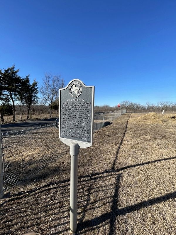
3. Ozro Cemetery Marker
Photographed by J Frye
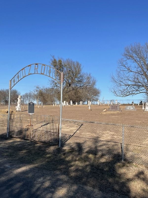
4. Ozro Cemetery Marker
Credits. This page was last revised on February 1, 2022. It was originally submitted on January 30, 2022, by J Frye of Fort Worth, Texas. This page has been viewed 486 times since then and 40 times this year. Photos: 1, 2, 3. submitted on January 30, 2022, by J Frye of Fort Worth, Texas. 4. submitted on January 31, 2022, by J Frye of Fort Worth, Texas. • J. Makali Bruton was the editor who published this page.
