Lubbuck in Lubbock County, Texas — The American South (West South Central)
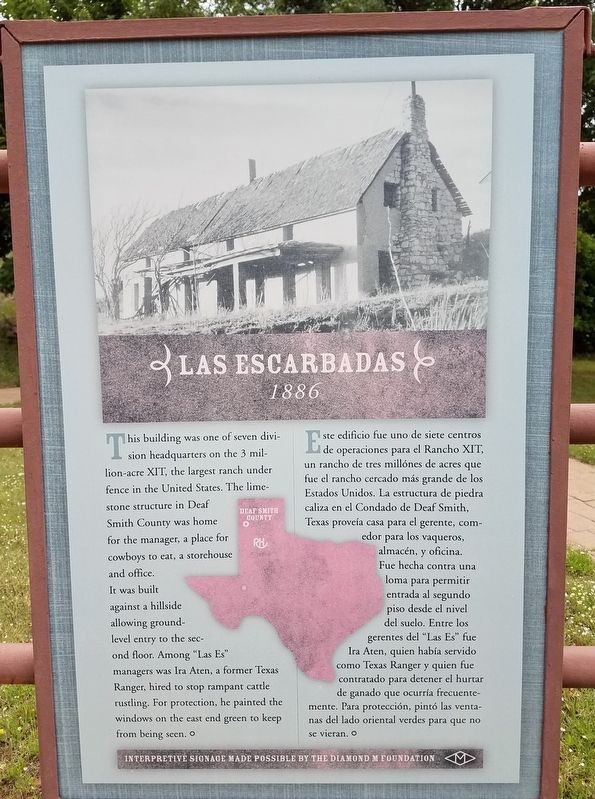
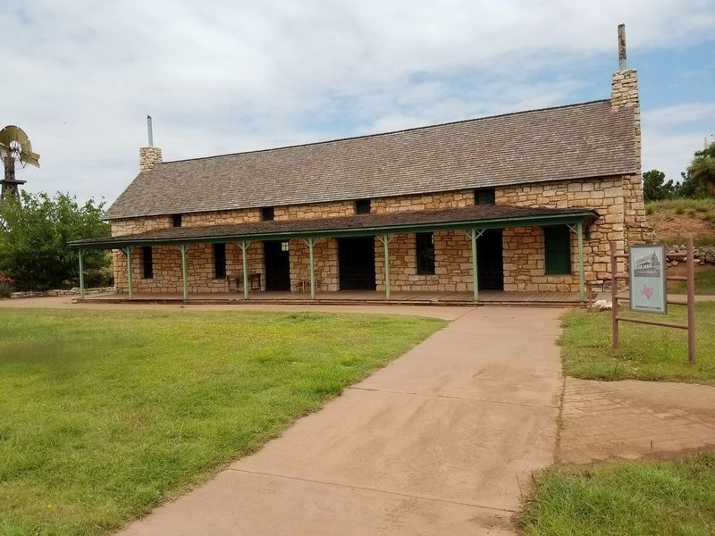
Las Escarbadas
1886
Photographed by Denise Boose, May 31, 2019
1. Las Escarbadas Marker

Spanish:
this page online
Erected by Diamond M Foundation and National Ranching Heritage Center.
Topics. This historical marker is listed in these topic lists: Agriculture • Settlements & Settlers.
Location. 33° 35.38′ N, 101° 53.014′ W. Marker is in Lubbuck, Texas, in Lubbock County. It can be reached from 4th Street, on the left when traveling north. Touch for map. Marker is at or near this postal address: 3121 4th Street, Lubbock TX 79409, United States of America. Touch for directions.

Regionally, this marker is on the South Plains. It is also on the American Great Plains, specifically on the Southern Plains, and specifically on the High Plains. Globally, it is in North America, a Gulf of Mexico state, the Western Hemisphere, the Western World, and the Anglosphere. Historically, it finds itself in what was once New Spain, the Comanchería, the Republic of Texas, and one of the Confederate States of America.
Other nearby markers. At least 8 other markers are within walking distance of this marker: Masterson JY (within
Photographed by Denise Boose, May 31, 2019
2. Las Escarbadas Marker
Photographed by Denise Boose, May 31, 2019
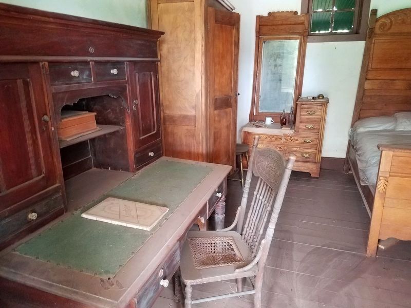
3. Las Escarbadas Interior
Photographed by Denise Boose, May 31, 2019
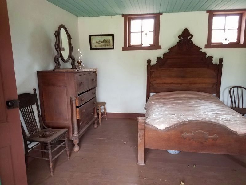
4. Las Escarbadas Interior
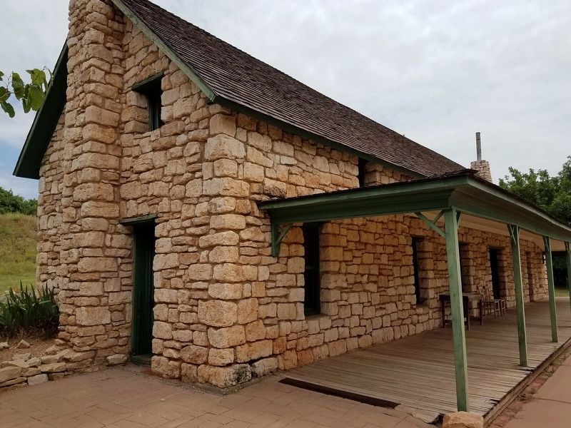
Photographed by Denise Boose, May 31, 2019
5. Las Escarbadas
Credits. This page was last revised on February 5, 2022. It was originally submitted on January 30, 2022, by Denise Boose of Tehachapi, California. This page has been viewed 586 times since then and 33 times this year. Photos: 1, 2, 3, 4. submitted on January 30, 2022, by Denise Boose of Tehachapi, California. 5. submitted on January 31, 2022, by Denise Boose of Tehachapi, California. • J. Makali Bruton was the editor who published this page.
