Near Flagler Beach in Flagler County, Florida — The American South (South Atlantic)
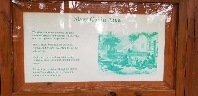
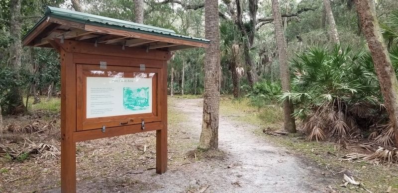
Slave Cabin Area
The 40 cabins were home to 197 men, women, and children according to the 1830 U.S. Census.
Cabins were arranged in a semi circular pattern centered around the main plantation house.
Many of the plantation's buildings such as the stables and kitchens were within the quarter mile arc of cabins.
Erected by Bulow Plantation Ruins Historic State Park.
Topics. This historical marker is listed in these topic lists: African Americans • Agriculture • Anthropology & Archaeology • Settlements & Settlers. A significant historical year for this entry is 1830.
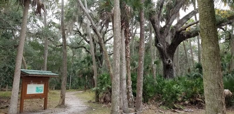
Location. 29° 26.101′ N, 81° 8.244′ W. Marker is near Flagler Beach, Florida, in Flagler County. Marker can be reached from Bulow Plantation Ruins, one mile east of Old Kings Road. The marker is located at the east section of the Bulow Plantation Ruins Historic State Park north of the Plantation House Site. Touch for map. Marker is at or near this postal address: 3501 Old Kings Road, Flagler Beach FL 32136, United States of America. Touch for directions.
Other nearby markers. At least 8 other markers are within walking distance of this marker. Indigo Production (within shouting distance of this marker); The Bulow Plantation House (within shouting distance of this marker); Bulow Ville Plantation House (within shouting distance of this marker); Slave Cabin Site (within shouting distance of this marker); Boat Slips (within shouting distance of this marker); Bulow Sugar Mill (approx. ¼ mile away); Driven by Sweat & Steam (approx. 0.3 miles away); Beyond the Plantation (approx. 0.4 miles away). Touch for a list and map of all markers in Flagler Beach.
More about this marker. There is a small entry fee required to visit the ruins at the park.
Also see . . . Bulow Plantation Ruins Historic State Park.
Bulow Plantation Ruins Historic State Park is a Florida State Park in Flagler Beach, Florida. It is three miles west of Flagler Beach on CR 2001, south of SR 100, and contains the ruins of an ante-bellum plantation and its sugar mill, built of coquina, a fossiliferous sedimentary rock composed of shells. It was the largest plantation in East Florida, and was operated with the forced labor of enslaved Africans and African Americans. Source: Wikipedia(Submitted on February 5, 2022, by James Hulse of Medina, Texas.)
Credits. This page was last revised on February 6, 2022. It was originally submitted on February 5, 2022, by James Hulse of Medina, Texas. This page has been viewed 236 times since then and 26 times this year. Photos: 1, 2, 3. submitted on February 6, 2022, by James Hulse of Medina, Texas.


