Near Flagler Beach in Flagler County, Florida — The American South (South Atlantic)
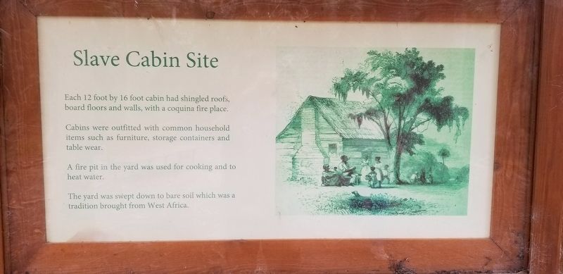
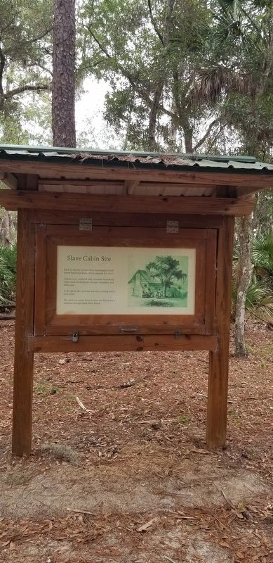
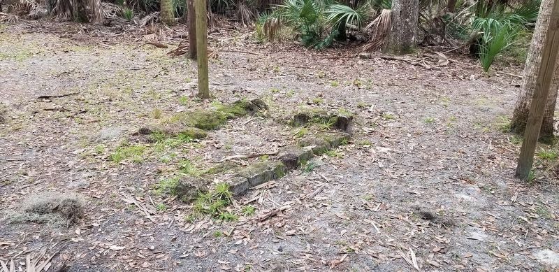
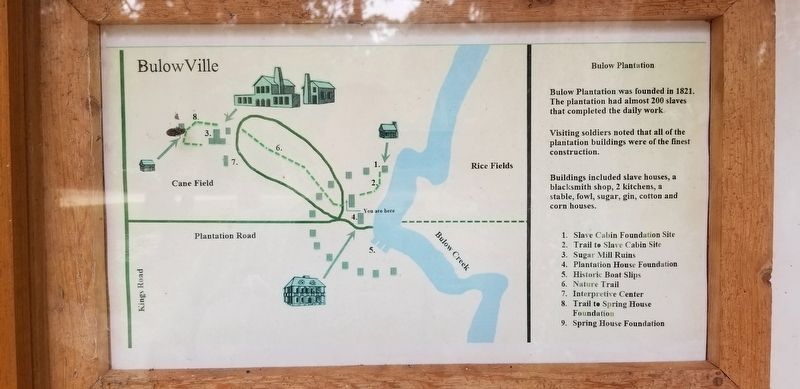
Slave Cabin Site
Cabins were outfitted with common household items such as furniture, storage containers and table wear.
A fire pit in the yard was used for cooking and to heat water.
The yard was swept down to bare soil which was a tradition brought from West Africa.
Erected by Bulow Plantation Ruins Historic State Park.
Topics. This historical marker is listed in these topic lists: African Americans • Anthropology & Archaeology • Parks & Recreational Areas • Settlements & Settlers.
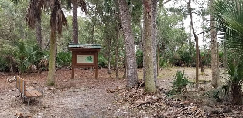
Location. 29° 26.136′ N, 81° 8.229′ W. Marker is near Flagler Beach, Florida, in Flagler County. Marker can be reached from Bulow Plantation Ruins, one mile east of Old Kings Road. The marker is located at the east section of the Bulow Plantation Ruins Historic State Park, north of the Pavilion, along a short trail. Touch for map. Marker is at or near this postal address: 3501 Old Kings Road, Flagler Beach FL 32136, United States of America. Touch for directions.
Other nearby markers. At least 8 other markers are within walking distance of this marker. Slave Cabin Area (within shouting distance of this marker); The Bulow Plantation House (about 300 feet away, measured in a direct line); Indigo Production (about 300 feet away); Bulow Ville Plantation House (about 400 feet away); Boat Slips (about 400 feet away); Bulow Sugar Mill (approx. 0.3 miles away); Driven by Sweat & Steam (approx. 0.4 miles away); Beyond the Plantation (approx. 0.4 miles away). Touch for a list and map of all markers in Flagler Beach.
More about this marker. There is a small entry fee required to visit the ruins at the park.
Also see . . . Bulow Ville Plantation House.
Monument to the Rise and Fall of Sugar Plantations in East Florida. Source: Florida State Park(Submitted on February 6, 2022, by James Hulse of Medina, Texas.)
Credits. This page was last revised on February 6, 2022. It was originally submitted on February 6, 2022, by James Hulse of Medina, Texas. This page has been viewed 142 times since then and 24 times this year. Photos: 1, 2, 3, 4, 5. submitted on February 6, 2022, by James Hulse of Medina, Texas.
