Ste. Genevieve in Ste. Genevieve County, Missouri — The American Midwest (Upper Plains)
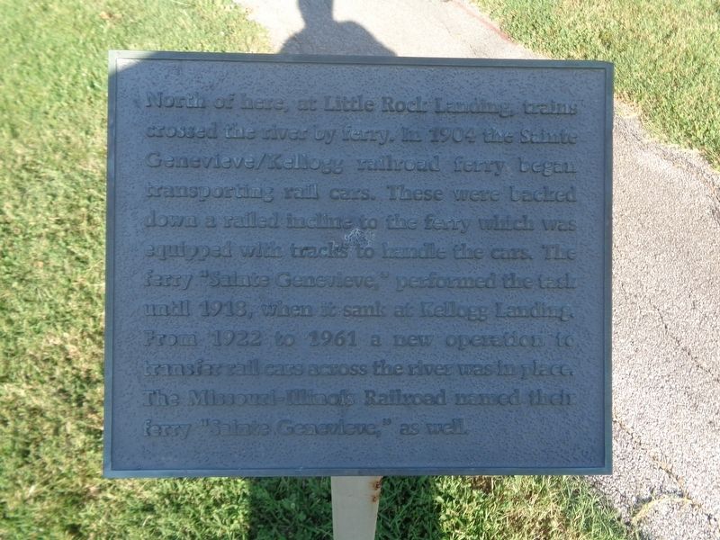
Sainte Genevieve Ferry
Topics. This historical marker is listed in these topic lists: Railroads & Streetcars • Waterways & Vessels. A significant historical year for this entry is 1904.
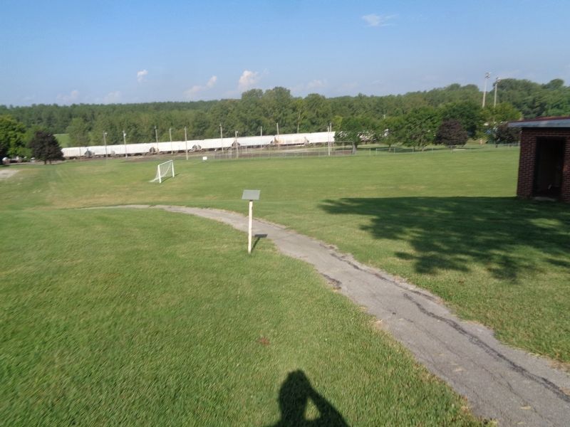
Location. 37° 59.793′ N, 90° 3.287′ W. Marker is in Ste. Genevieve, Missouri, in Ste. Genevieve County. Marker is on Matthews Drive west of Little Rock Road, on the right when traveling east. Marker is located at Pere Marquette Park. Touch for map. Marker is at or near this postal address: 21932 Kingsman Dr, Sainte Genevieve MO 63670, United States of America. Touch for directions.
Other nearby markers. At least 8 other markers are within 2 miles of this marker, measured as the crow flies. The Lewis and Clark Expedition Across Missouri (a few steps from this marker); Urban Design Levee (within shouting distance of this marker); In Memory of Prospect K. Robbins, 1782-1847 (approx. 1.2 miles away); Welcome to Sainte Genevieve Parish (approx. 1.3 miles away); In Honor of Milice de Ste. Genevieve (approx. 1.3 miles away); El Camino Real (approx. 1.3 miles away); Merchants Bank / Ste. Genevieve Savings Bank (approx. 1.3 miles away); First Brick House West of Mississippi River (approx. 1.3 miles away). Touch for a list and map of all markers in Ste. Genevieve.
Credits. This page was last revised on February 9, 2022. It was originally submitted on February 9, 2022, by Jason Voigt of Glen Carbon, Illinois. This page has been viewed 384 times since then and 26 times this year. Photos: 1, 2. submitted on February 9, 2022, by Jason Voigt of Glen Carbon, Illinois.

