Fitler Square in Philadelphia in Philadelphia County, Pennsylvania — The American Northeast (Mid-Atlantic)
First Troop Philadelphia City Cavalry
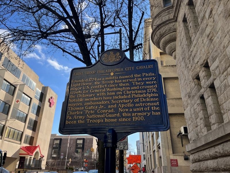
Photographed by Devry Becker Jones (CC0), February 5, 2022
1. First Troop Philadelphia City Cavalry Marker
Erected 2021 by Pennsylvania Historical and Museum Commission.
Topics and series. This historical marker is listed in these topic lists: Colonial Era • Military • War, US Revolutionary. In addition, it is included in the Pennsylvania Historical and Museum Commission (PHMC) series list. A significant historical year for this entry is 1774.
Location. 39° 57.197′ N, 75° 10.686′ W. Marker is in Philadelphia, Pennsylvania, in Philadelphia County. It is in Fitler Square. It is at the intersection of South 23rd Street and Ranstead Street, on the right when traveling south on South 23rd Street. Touch for map. Marker is at or near this postal address: 22 S 23rd St, Philadelphia PA
this page online

Regionally, this marker is in Southeast Pennsylvania. It is also in the American Northeast and in the Mid-Atlantic. Globally, it is in North America, the Western Hemisphere, the Western World, and the Anglosphere. Historically, it finds itself in what was once the Haudenosaunee (Iroquois) Confederacy, New Netherland, and one of the original Thirteen Colonies.
Other nearby markers. At least 8 other markers are within walking distance of this marker: Benjamin Rush Medicinal Plant Garden (about 400 feet away, measured in a direct line); a different marker also named Ginger (about 400 feet away); The College of Physicians of Philadelphia Building (about 400 feet away); Medical Aloe (about 400 feet away); Okra (about 400 feet away); Plant As Medicine (about 400 feet away); Philadelphia Horticulture and the College (about 400 feet away); a different marker also named Benjamin Rush Medicinal Plant Garden (about 400 feet away). Touch for a list and map of all markers in Philadelphia.
Other markers no longer nearby. Benjamin Rush Medicinal Plant Garden (was about 400 feet
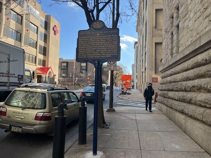
Photographed by Devry Becker Jones (CC0), February 5, 2022
2. First Troop Philadelphia City Cavalry Marker
Credits. This page was last revised on February 2, 2024. It was originally submitted on February 9, 2022, by Devry Becker Jones of Washington, District of Columbia. This page has been viewed 613 times since then and 44 times this year. Photos: 1, 2. submitted on February 9, 2022, by Devry Becker Jones of Washington, District of Columbia.
