Charlestown in Boston in Suffolk County, Massachusetts — The American Northeast (New England)
Charlestown Navy Yard
Boston National Historical Park - Charlestown Navy Yard
| — | National Park Service, U.S. Department of the Interior | — |
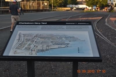
Photographed by Sandra Hughes, September 13, 2012
1. Charlestown Navy Yard Marker
The Charlestown Navy Yard was established in 1800 to build, repair, and supply the nation's warships. For 174 years the yard expanded and adapted to serve a growing, changing navy.
In early years, skilled workers build and repaired wooden sloops, frigates, and ships of the line, using hand tools and muscle power. During World War II, specialized crews of welders, pipe fitters and electricians worked round-the clock to build and overhaul steel warships.
Decommissioned as a naval facility in 1974, the yard adapted again, becoming space for homes, businesses, and recreation. More than 30 of the most historic acres of the yard now form part of Boston National Historic Park.
Erected by National Park Service, U.S. Department of the Interior.
Topics. This historical marker is listed in these topic lists: Industry & Commerce • War, World II • Waterways & Vessels. A significant historical year for this entry is 1800.
Location. 42° 22.344′ N, 71° 3.291′ W. Marker is in Boston, Massachusetts, in Suffolk County. It is in Charlestown. It is on 1st Avenue (Freedom Trail). Marker is along the railroad tracks in front
this page online

Regionally, this marker is in Historic Boston. It is also in the American Northeast, in New England, and on the Eastern Seaboard. Globally, it is in the North Atlantic Region, North America, the Western Hemisphere, the Western World, and the Anglosphere. Historically, it finds itself in what was once one of the original Thirteen Colonies.
Other nearby markers. At least 8 other markers are within walking distance of this marker: A New View of an Old Ship (within shouting distance of this marker); a different marker also named Charlestown Navy Yard (within shouting distance of this marker); Building 10 (within shouting distance of this marker); U.S.S. Boston (within shouting distance of this marker); USS Leyte (CV-32) (about 500 feet away, measured in a direct line); Boston, the Navy Yard, and the War of 1812 (about 500 feet away); Dry Dock 1 (about 500 feet away); Serving the Fleet (about 500 feet away). Touch for a list and map of all markers in Boston.
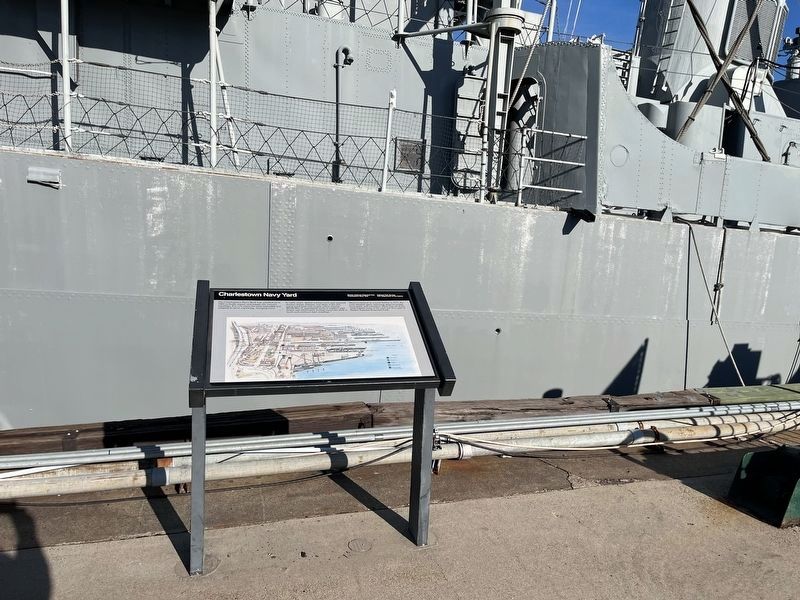
Credits. This page was last revised on February 5, 2023. It was originally submitted on October 7, 2012, by Sandra Hughes Tidwell of Killen, Alabama, USA. This page has been viewed 879 times since then and 33 times this year. Last updated on February 10, 2022, by Carl Gordon Moore Jr. of North East, Maryland. Photos: 1. submitted on October 7, 2012, by Sandra Hughes Tidwell of Killen, Alabama, USA. 2. submitted on February 5, 2023, by Devry Becker Jones of Washington, District of Columbia. • J. Makali Bruton was the editor who published this page.
