Downtown in Boston in Suffolk County, Massachusetts — The American Northeast (New England)
The Freedom Trail
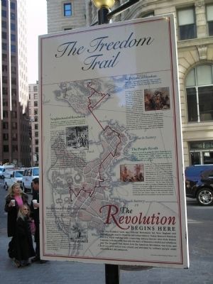
Neighborhood of Revolution
“Paul Revere . . . started on a ride which, in a way has never ended.” - Esther Forbes, author of the classic study, Paul Revere and the World He Lived In
In the course of just two pivotal days – April 18 and 19, 1775 – the preceding years of unrest burst into insurrection. Paul and Rachel Revere, plus several of their sixteen children, lived in an old house in what is now Boston’s oldest neighborhood, the North End. Paul was a middle-class artisan, a trusted and active member of his community who belonged to the Masons, the Sons of Liberty and the North End Caucus. His neighbors included both patriots and loyalists to the British cause, like Gov. Thomas Hutchinson. On the night of April 18, Revere planned the hanging of two lanterns in the steeple of the Old North Church, as he and other express riders sped off to warn fellow patriots that British soldiers were on the march. By morning, colonial militia had assembled in Lexington and Concord, ready for the first military encounters of the Revolution.
Revolution of Minds and Hearts
“ . . . In every human breast, God has implanted a principle, which we call love of Freedom . . . ” – Phillis Wheatley, African American slave-poet, member of Old South Congregation
For more than a century before the first musket was fired in America’s War for Independence, Puritan-bred Bostonians embraced a strong heritage of community and a culture of freedom that was remarkable among colonial settlements. Boston Common and its surrounding sites illustrate this unusual past, and include places where townfolk attended America’s first public school, governed their own church congregations, assembled and drilled local militia for self protection and stood toe-to-toe to protect their Puritan church land from Anglican intrusion. “The Revolution effected before the war commenced,” observed John Adams. “The Revolution was in the minds and the hearts of the people . . . ”
In Defense of Freedom
“The day – perhaps the decisive day – is come, on which the fate of America depends.” – Abigail Adams, patriot, feminist, and wife of John Adams
Less than two months after the Battles of Lexington and Concord, patriots encountered what turned out to be the bloodiest battle of their War for Independence. Entrenched in a redoubt on Breed’s Hill in Charlestown, a mound mistakenly dubbed Bunker’s Hill, the ill-equipped colonists valiantly repelled two assaults by the redcoats before succumbing to the third attack. Though the British army won the battle, their losses were immense, inspiring patriots to continue armed resistance. By 1783, America had won her independence, but still had to
fight to defend her hard-earned freedoms. The invincible U.S.S. Constitution, popularly known as “Old Ironsides,” was one of the newly-formed U.S. Navy frigates built to defend the young country – against pirates, the British or any others who would challenge our land and liberties.
The People Revolt
“What we meant in going for those Redcoats was this, we always had governed ourselves and we always meant to. They didn’t mean we should!” - Capt. Levi Preston, Patriot leader, in Reminiscences of the War
In the year 1750, few Bostonians even considered the idea of breaking away from their British mother country. Between the years 1761 and 1775, however, differing views of the rights of the colonies under British rule led to a series of actions, reactions and tumultuous encounters between Britain and her Boston colonists that snowballed toward war. Certain British laws and acts – like the Sugar, Stamp and Townshend Acts, the military occupation of Boston, and the Boston Massacre – increasingly incensed the liberty-loving colonists. Assembling in town meetings and swayed by the oratory of emerging leaders like James Otis, Sam Adams and Joseph Warren, Boston men and women began to take collective action, countering with boycotts, protests, and the famous Tea Party.
The Revolution Begins Here
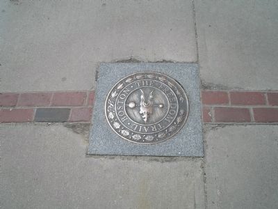
Over two hundred years ago, colonial Bostonians led New England and America on the road to freedom and independence. Today, Boston’s Freedom Trail is a 3-mile walking path connecting sixteen historic sites from Boston Common to Bunker Hill, that tells the story of Boston’s colorful and rebellious past. The Freedom Trail shows how the American Revolution was born, and how our nation was created and defended by ordinary people under extraordinary circumstances.
Erected 1997.
Topics and series. This historical marker is listed in these topic lists: Colonial Era • War, US Revolutionary. In addition, it is included in the Former U.S. Presidents: #02 John Adams series list. A significant historical date for this entry is April 18, 1763.
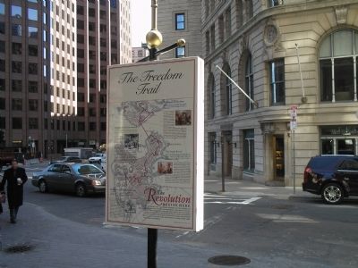
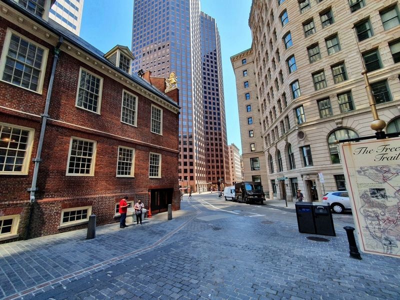
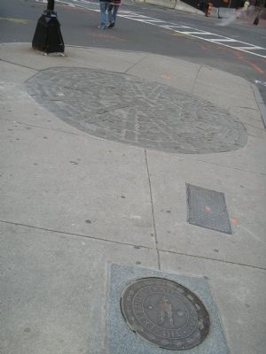
Location. 42° 21.519′ N, 71° 3.439′ W. Marker is in Boston, Massachusetts, in Suffolk County. It is in Downtown. Marker is at the intersection of Devonshire Street and State Street, on the left when traveling north on Devonshire Street. The marker is located in between the Old State House and the National Park Headquarters. Touch for map. Marker is in this post office area: Boston MA 02109, United States of America. Touch for directions.
Other nearby markers. At least 8 other markers are within walking distance of this marker. The Old State House (a few steps from this marker); a different marker also named The Old State House (a few steps from this marker); Site of the First Meeting House in Boston Built A.D. 1632
(a few steps from this marker); The Boston Massacre (within shouting distance of this marker); Captain Robert Keayne (within shouting distance of this marker); The Norman B. Leventhal Walk to the Sea (within shouting distance of this marker); New England Courant (within shouting distance of this marker); John Winthrop - First House in Boston Site (within shouting distance of this marker). Touch for a list and map of all markers in Boston.
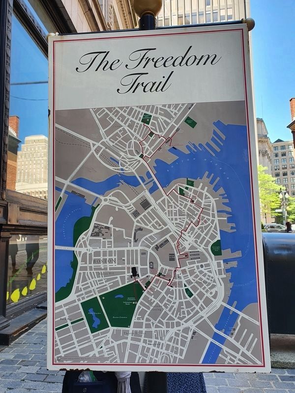
More about this marker. The background of the marker contains a map of Boston highlighting the Freedom Trail and indicating the historic sites along the route, including: Boston Common, Massachusetts State House, Park Street Church, Granary Burying Ground, King’s Chapel & Burying Ground, First Public School Site, Old Corner Bookstore, Old South Meeting House, Old State House, Boston Massacre Site, Faneuil Hall, Paul Revere House, Old North Church, Copp’s Hill Burying Ground, U.S.S. Constitution and Bunker Hill Monument.
Also see . . . The Freedom Trail. The Freedom Trail Foundation website. (Submitted on May 18, 2009, by Bill Coughlin of Woodland Park, New Jersey.)
Credits. This page was last revised on January 30, 2023. It was originally submitted on May 18, 2009, by Bill Coughlin of Woodland Park, New Jersey. This page has been viewed 2,102 times since then and 37 times this year. Last updated on February 10, 2022, by Carl Gordon Moore Jr. of North East, Maryland. Photos: 1. submitted on May 18, 2009, by Bill Coughlin of Woodland Park, New Jersey. 2. submitted on July 11, 2021, by J. Makali Bruton of Accra, Ghana. 3, 4. submitted on May 18, 2009, by Bill Coughlin of Woodland Park, New Jersey. 5. submitted on July 11, 2021, by J. Makali Bruton of Accra, Ghana. 6, 7. submitted on May 18, 2009, by Bill Coughlin of Woodland Park, New Jersey. • J. Makali Bruton was the editor who published this page.
