Greenbrier East in Chesapeake, Virginia — The American South (Mid-Atlantic)
Never Forget
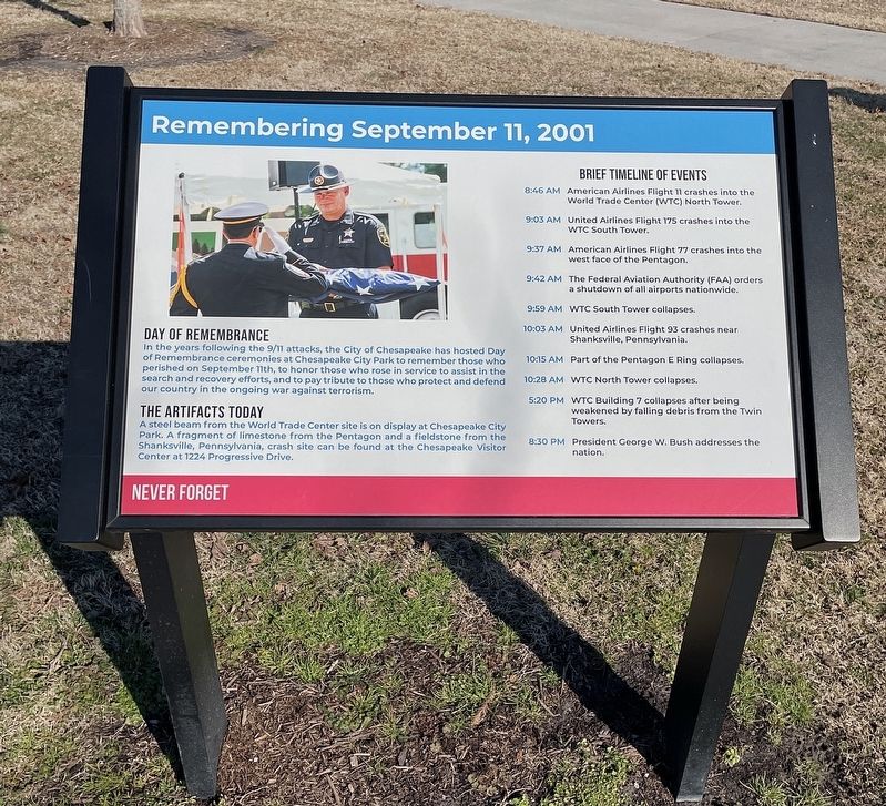
Remembering September 11, 2001
Photographed by Brandon D Cross, January 27, 2022
1. Never Forget Marker
Day of Remembrance
In the years following the 9/11 attacks, the City of Chesapeake has hosted Day of Remembrance ceremonies at Chesapeake City Park to remember those who perished on September 11th, to honor those who protect and defend our country in the ongoing war against terrorism.
The Artifacts Today
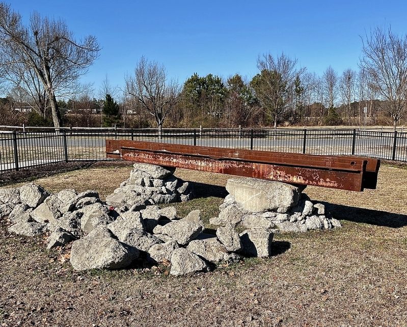
A steel beam from the World Trade Center site is on display at Chesapeake City Park. A fragment of limestone from the Pentagon and a fieldstone from the Shanksville, Pennsylvania, crash site can be found at the Chesapeake Visitor Center at 1224 Progressive Drive.
Brief Timeline of Events
8:46 AM: American Airlines Flight 11 crashes into the World Trade Center (WTC) North Tower.
9:03 AM: United Airlines Flight 175 crashes into the WTC South Tower.
9:37 AM: American Airlines Flight 77 crashes into the west face of the Pentagon.
9:42 AM: The Federal Aviation Authority (FAA) orders a shutdown of all airports nationwide.
9:59 AM: WTC South Tower collapses.
10:03 AM: United Airlines Flight 93 crashes near Shanksville, Pennsylvania.
10:15 AM: Part of the Pentagon E Ring collapses.
10:28 AM: WTC North Tower collapses.
this page online
8:30 PM: President George W. Bush addresses the nation.
Erected by City of Chesapeake.
Topics and series. This memorial is listed in these topic lists: 9/11 Attacks • Parks & Recreational Areas. In addition, it is included in the World Trade Center Beams series list. A significant historical date for this entry is September 11, 2001.
Location. 36° 45.124′ N, 76° 13.592′ W. Memorial is in Chesapeake, Virginia. It is in Greenbrier East. It can be reached from the intersection of City Park Drive and Greenbrier Road, on the left when traveling west. Located in Chesapeake City Park. Touch for map. Memorial is at or near this postal address: 900 City Park Drive, Chesapeake VA 23320, United States of America. Touch for directions.

Regionally, this memorial is in Hampton Roads, specifically in Coastal Virginia, and in the Hampton Roads Metropolitan Area. It is also in the American South, specifically in the Upper South, in the Tidewater, and on the Eastern Seaboard. Globally, it is in the North Atlantic Region, North America, the Western Hemisphere,
Photographed by Brandon D Cross, January 27, 2022
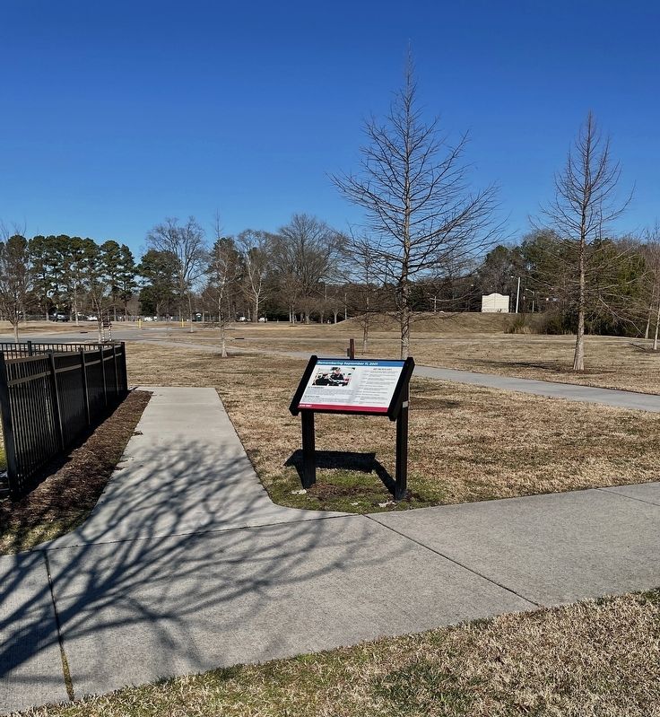
2. Never Forget Marker
Other nearby markers. At least 8 other markers are within 3 miles of this marker, measured as the crow flies: Picking Up the Pieces (a few steps from this marker); The Day that Shook America (a few steps from this marker); Oak Grove Methodist Church (approx. 1½ miles away); At Dawn On December 9, 1775 (approx. 2.2 miles away); Causeways (approx. 2.2 miles away); Liberty to Slaves (approx. 2.2 miles away); First Fire (approx. 2.2 miles away); Causeway Construction (approx. 2.2 miles away). Touch for a list and map of all markers in Chesapeake.
Photographed by Brandon D Cross, January 27, 2022
3. Steel Beam from World Trade Center artifact
Credits. This page was last revised on February 1, 2023. It was originally submitted on February 10, 2022, by Brandon D Cross of Flagler Beach, Florida. This page has been viewed 413 times since then and 26 times this year. Photos: 1, 2, 3. submitted on February 10, 2022, by Brandon D Cross of Flagler Beach, Florida. • Andrew Ruppenstein was the editor who published this page.
