Edgemoor in New Castle County, Delaware — The American Northeast (Mid-Atlantic)
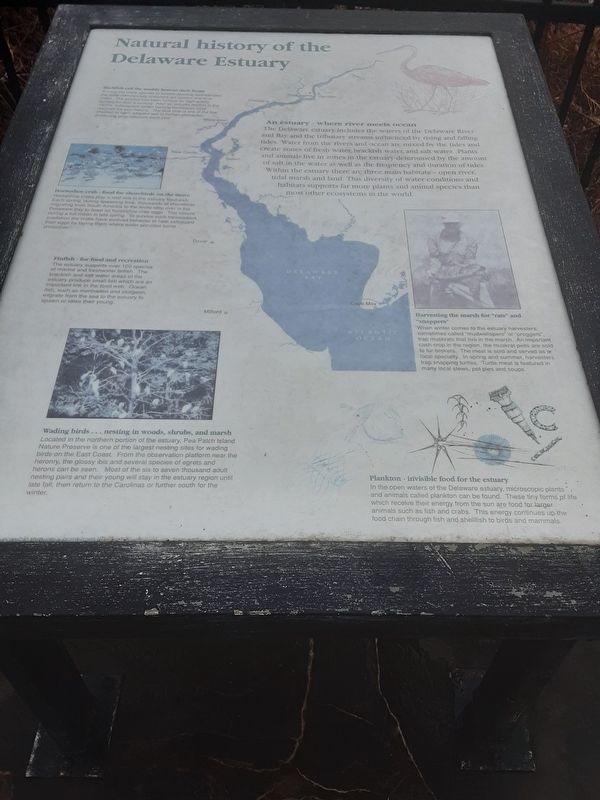
Natural history of the Delaware Estuary
Inscription.
Shellfish call the muddy bottom their home
Among the many species of bottom-dwelling invertebrates the most commercially important are oysters and blue crabs. The estuary has been famous for high-quality oysters for over a century. After an industry decline in the 1920's but subsequent oyster farming techniques have restored the populations. The blue crab is ona of the few shellfish to have adapted well to human pressures, producing large harvests each year.
An estuary - where river meets ocean
The Delaware estuary includes the waters of the Delaware River and Bay, and the tributary streams influenced by rising and falling tides. Water from the rivers and ocean are mixed by the tides and create zones of fresh water, brackish water, and salt water. Plants and animals live in zones in the estuary determined by the amount of salt in the water as well as the frequency and duration of tides. Within the estuary there are three main habitats -- open river, tidal marsh and land. This diversity of water conditions and habitats supports far more plants and animal species than most other ecosystems in the world.
Horseshoe crab -- food for shorebirds on the move
Horseshoe crabs play a vital role in the estuary food web. Each spring, during spawning time, thousands of shorebirds migrating from South America to the Arctic stop over in the Delaware Bay to feast on horseshoe crab eggs. This occurs during a full moon in late spring. To survive such tremendous predation the crabs have evolved behavior to help safeguard their eggs by laying them where water provides some protection.
Finfish -- for food and recreation
The estuary supports over 100 species of marine and freshwater finfish. The brackish and salt water areas of the estuary produce small fish which are an important link in the food web. Ocean fish, such as menhaden and sturgeon, migrate from the sea to the estuary to spawn or raise their young.
Harvesting the marsh for "rats” and "snappers"
When winter comes to the estuary harvesters, sometimes called "mudwallopers” or "proggers", trap muskrats that live in the marsh. An important cash crop in the region, the muskrat pelts are sold to fur brokers. The meat is sold and served as a local specialty. In spring and summer, harvesters trap snapping turtles. Turtle meat is featured in many local stews, pot pies and soups.
Wading birds... nesting in woods, shrubs, and marsh
Located in the northern portion of the estuary, Pea Patch Island Nature Preserve is one of the largest nesting sites for wading. birds on the East Coast. From the observation platform
near the
heronry, the glossy ibis and several species of egrets and
herons can be seen. Most of the six to seven thousand adult
nesting pairs and their young will stay in the estuary region until
late fall, then return to the Carolinas or further south for the
winter.
Plankton - invisible food for the estuary
In the open waters of the Delaware estuary, microscopic plants and animals called plankton can be found. These tiny forms of life which receive their energy from the sun are food for larger animals such as fish and crabs. This energy continues up the food chain through fish and shellfish to birds and mammals.
[map labels]
Philadelphia
Camden
Chester
Wilmington
New Castle
Salem
Dover
Cape May
Delaware Bay
Atlantic Ocean
Topics. This historical marker is listed in this topic list: Environment.
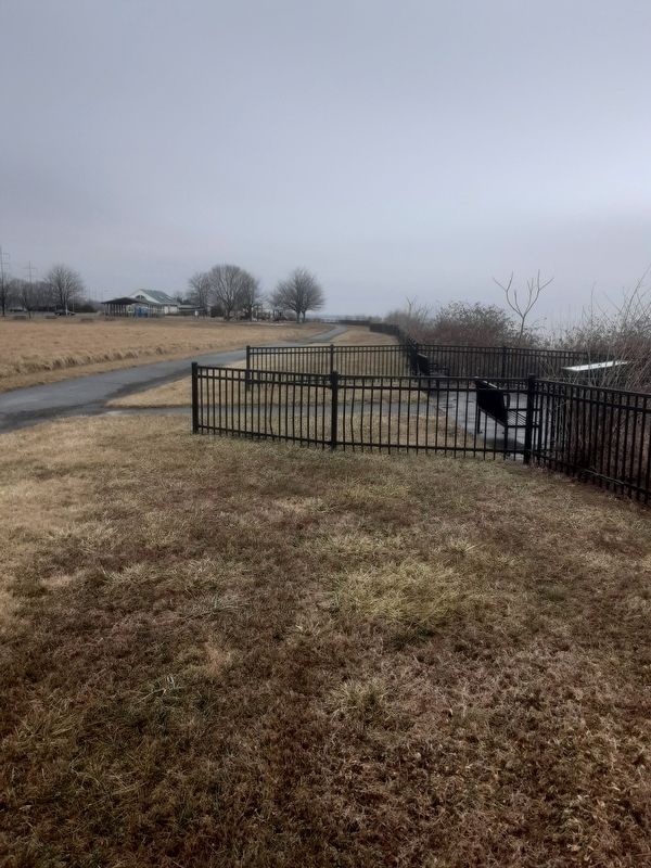
Location. 39° 45.379′ N, 75° 29.353′ W. Marker is in Edgemoor, Delaware, in New Castle County. Marker is on Lighthouse Road, one mile Ellerslie Road. Touch for map. Marker is at or near this postal address: 1200 Lighthouse Road, Wilmington DE 19809, United States of America. Touch for directions.
Other nearby markers. At least 8 other markers are within 2 miles of this marker, measured as the crow flies. Timeline of the Delaware River (about 500 feet away, measured in a direct line); Welcome to Fox Point State Park (about 500 feet away); Delaware: Trading with the world (about 800 feet away); Memories of Fox Point (approx. 0.2 miles away); Blue Rock Community Club (approx. 0.9 miles away); World War I Memorial (approx. 0.9 miles away); Cauffiel House and Estate (approx. 1.3 miles away); Mount Pleasant School (approx. 1.4 miles away).
Credits. This page was last revised on March 15, 2022. It was originally submitted on February 10, 2022, by Carl Gordon Moore Jr. of North East, Maryland. This page has been viewed 116 times since then and 18 times this year. Photos: 1. submitted on February 10, 2022, by Carl Gordon Moore Jr. of North East, Maryland. 2. submitted on February 12, 2022, by Carl Gordon Moore Jr. of North East, Maryland. • Bill Pfingsten was the editor who published this page.

