Near Bay City in Matagorda County, Texas — The American South (West South Central)
Philip H. Parker VFW Post No. 2438

Photographed by James Hulse, February 11, 2022
1. Philip H. Parker VFW Post No. 2438 Marker
Post No. 2438 found its first home in 1948, on land owned by Herbert and Allie Parker at Bucks Bayou and Hamman Roads. The post also changed its name to honor the Parkers' son, Army Air Forces Capt. Philip Hackley Parker (1920-1945). Parker was killed in action by Japanese ground fire while piloting his P-51D Mustang over Hsiang Ch'eng, China on Mar. 23, 1945. A surplus structure moved from Camp Hulen in Palacios became a meeting hall and canteen. Beginning in 1954, the post again met in several locations until a new post home was dedicated on North Hwy. 60 in 1980. This building and all contents were destroyed by fire in 2000, and a new building was dedicated in 2001. The post and its Ladies Auxiliary (founded 1947) have supported the community in several ways. Long-standing activities include aid for needy veterans, support of current military personnel, student essay contests and scholarships, and financial support of public institutions, law enforcement, and charitable work of other organizations. The post has also helped identify the graves of more than 3,000 veterans in Matagorda County. Post No. 2438 continues to provide patriotism and encouragement to its community.
175 Years of Texas Independence - 1836 2011
Erected 2011
this page online
Topics. This historical marker is listed in these topic lists: Cemeteries & Burial Sites • Fraternal or Sororal Organizations • War, World II. A significant historical date for this entry is March 23, 1945.
Location. 29° 1.344′ N, 95° 58.456′ W. Marker is near Bay City, Texas, in Matagorda County. It is on State Highway 60 half a mile north of Farm to Market Road 3156, on the right when traveling south. The marker is located in the parking lot of the VFW Post building and faces reverse to the street. Touch for map. Marker is at or near this postal address: 1672 TX-60, Bay City TX 77414, United States of America. Touch for directions.

Regionally, this marker is in the American South and on the Gulf Coast. Globally, it is in North America, a Gulf of Mexico state, the Western Hemisphere, the Western World, and the Anglosphere. Historically, it finds itself in what was once New Spain, the Republic of Texas, one of the Confederate States of America, and the Antebellum South.
Other nearby markers. At least 8 other markers are within 3 miles of this marker, measured as the

Photographed by James Hulse, February 11, 2022
2. Philip H. Parker VFW Post No. 2438 Marker
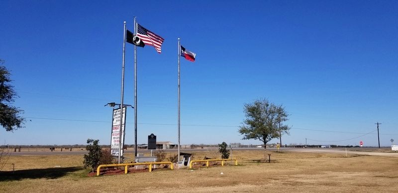
Photographed by James Hulse, February 11, 2022
3. The view of the marker from the parking lot
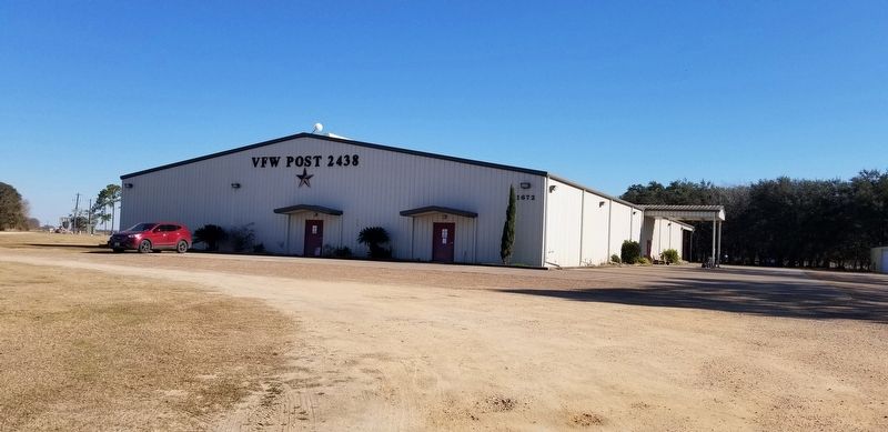
Photographed by James Hulse, February 11, 2022
4. The Philip H. Parker VFW Post No. 2438
Credits. This page was last revised on February 12, 2022. It was originally submitted on February 12, 2022, by James Hulse of Medina, Texas. This page has been viewed 640 times since then and 53 times this year. Photos: 1, 2, 3, 4. submitted on February 12, 2022, by James Hulse of Medina, Texas.
