Lower Haight in San Francisco City and County, California — The American West (Pacific Coastal)
Watershed History
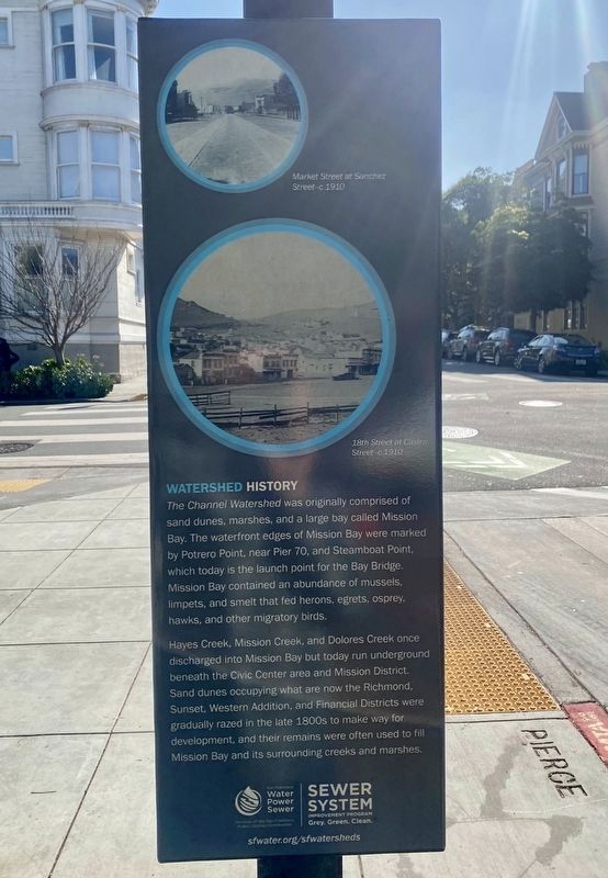
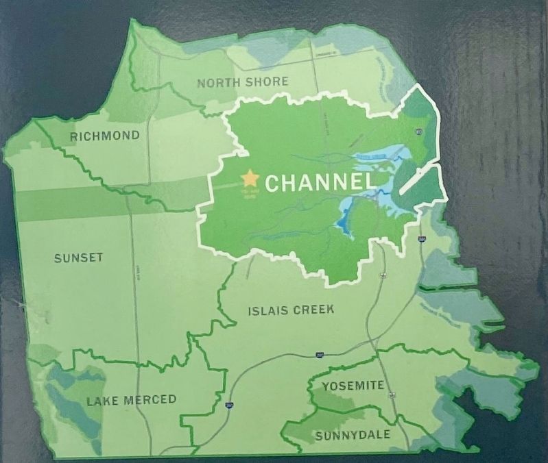
— The Channel Watershed —
Hayes Creek, Mission Creek, and Dolores Creek once discharged into Mission Bay but today run underground beneath the Civic Center area and Mission District. Sand dunes occupying what are now the Richmond, Sunset, Western Addition, and Financial Districts were gradually razed in the late 1800s to make way for development, and their remains were often used to fill Mission Bay and its surrounding creeks and marshes.
Erected by sfwater.org.
Topics. This historical marker is listed in these topic lists: Environment • Natural Features.
Location. 37° 46.252′ N, 122° 26.011′ W. Marker is in San Francisco, California, in San Francisco City and County. It is in Lower Haight. Marker is at the intersection of Pierce Street and Waller Street on Pierce Street. Touch for map. Marker is in this post office area: San Francisco CA 94117, United States of America. Touch for directions.
Other nearby markers. At least 8 other markers are within walking distance of this marker. Haight-Fillmore Building (approx. 0.2 miles away); St. Francis Lutheran Church (approx. 0.3 miles away); Swedish American Hall (approx. 0.3 miles away); Mint Hill (approx. 0.4 miles away); King of the Road! (approx. 0.4 miles away); The Industrial Age (approx. 0.4 miles away); Audre Lorde (approx. 0.4 miles away); California Volunteers' Memorial (approx. 0.4 miles away). Touch for a list and map of all markers in San Francisco.
Credits. This page was last revised on September 6, 2023. It was originally submitted on February 12, 2022, by Andrew Ruppenstein of Lamorinda, California. This page has been viewed 107 times since then and 9 times this year. Photos: 1, 2, 3. submitted on February 12, 2022, by Andrew Ruppenstein of Lamorinda, California.


