Seven Springs in Somerset County, Pennsylvania — The American Northeast (Mid-Atlantic)
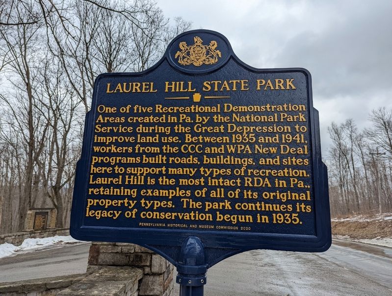
Laurel Hill State Park
Erected 2021 by Pennsylvania Historical and Museum Commission.
Topics. This historical marker is listed in this topic list: Parks & Recreational Areas. A significant historical year for this entry is 1935.
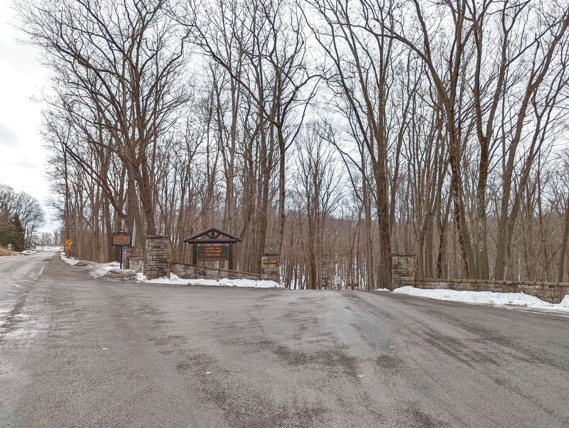
Location. 40° 0.524′ N, 79° 13.11′ W. Marker is in Seven Springs, Pennsylvania, in Somerset County. Marker is on Trent Road south of Jimtown Road, on the right when traveling south. Located at the entrance to the park. Touch for map. Marker is in this post office area: Somerset PA 15501, United States of America. Touch for directions.
Other nearby markers. At least 8 other markers are within 5 miles of this marker, measured as the crow flies. Roosevelt's Tree Army (approx. 0.3 miles away); Camp Life (approx. 0.3 miles away); Living Legacy (approx. 0.3 miles away); Big Trees meet Narrow Gauge (approx. 0.3 miles away); Logging Camps and Lumber Mills (approx. 0.3 miles away); a different marker also named Living Legacy (approx. 0.3 miles away); History of the Barronvale Covered Bridge (approx. 4.7 miles away); Site of Gideons German Reformed and Lutheran Church (approx. 4.7 miles away). Touch for a list and map of all markers in Seven Springs.
Also see . . . Laurel Hill State Park. Pennsylvania DCNR (Submitted on February 12, 2022, by Mike Wintermantel of Pittsburgh, Pennsylvania.)
Credits. This page was last revised on February 13, 2022. It was originally submitted on February 12, 2022, by Mike Wintermantel of Pittsburgh, Pennsylvania. This page has been viewed 127 times since then and 10 times this year. Last updated on February 12, 2022, by Bradley Owen of Morgantown, West Virginia. Photos: 1, 2. submitted on February 12, 2022, by Mike Wintermantel of Pittsburgh, Pennsylvania. • Mark Hilton was the editor who published this page.

