Falls Church, Virginia — The American South (Mid-Atlantic)
The Story of Big Chimneys
Inscription.
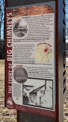
circa 1699
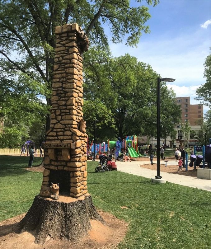
"Big Chimneys," is thought to be the first permanent structure built on land that is currently within the Falls Church City limits. The building was named for its two prominent brick chimneys. Placed in one of the chimneys was a stone engraved with "1699," which could represent the cabin's original construction date. The City of Falls Church recognizes this year as the community's establishment, predating the building of a 1734 wood church that became The Falls Church (Episcopal) and subsequent origin of the community's name. The only extant photo of the Big Chimney's structure was taken around 1908, and the building was demolished by 1914.
on the main road
Originally a simple log farmhouse, the cabin was built near the intersection of early Native American trails which became busy farm and market roads. Its central location was a day's horseback ride from regional river crossings as well as other colonial settlements. In about 1803, the building was enlarged and used as an "ordinary" or inn for the net 35 years to accommodate travelers on the main road between Alexandria and Leesburg (now S.R. 7/Broad Street).
near the park
The original cabin site is believed to have been near the intersection of present day Annandale Road and Maple Avenue. Large stone slabs, possibly the structure's original door thresholds, were found here in the 1960s during road construction.
For more history, read the brochure "The Story of Big Chimneys Since 1699" and find related information in the Local History Collection of the Mary Riley Styles Public Library, City of Falls Church.
Photos and graphics courtesy of the MAry Riley Styles Public Library Local History Collection. "Big Chimneys" sketching from Melvin Lee Steadman's Falls Church By Fence and Fireside (1964). Artwork by Clare Casey (2020).
Erected by City of Falls Church, Recreation and Parks.
Topics. This historical marker is listed in these topic lists: Architecture • Colonial Era • Settlements & Settlers. A significant historical year for this entry is 1699.
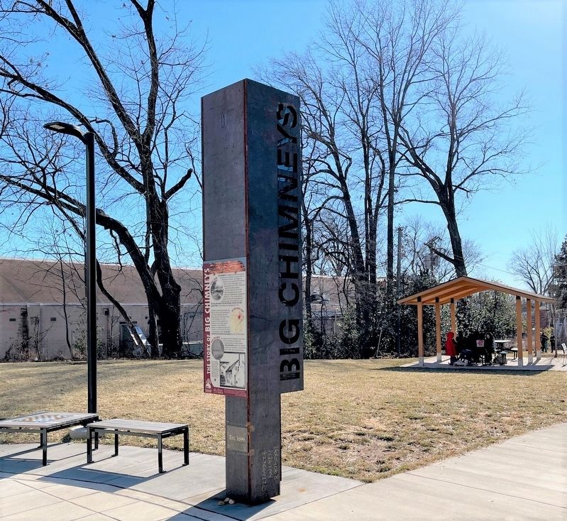
Location. 38° 52.966′ N, 77° 10.466′ W. Marker is in Falls Church, Virginia. Marker is at the intersection of Annandale Road and Gundry Drive, on the right when traveling east on Annandale Road. Touch for map. Marker is in this post office area: Falls Church VA 22046, United States of America. Touch for directions.
Other nearby markers. At least 8 other markers are within walking distance of this marker. Big Chimneys (a few steps from this marker); Virginia Training School (about 700 feet away, measured in a direct line); Rolling Roads (about 700 feet away); Home of Mary Ellen Meriwether (Miss Nellie) and Dr. Edwin B. Henderson (EB)
(about 700 feet away); Sears Kit Home (about 700 feet away); Colored Citizens Protective League (about 700 feet away); Dr. Edwin Bancroft Henderson (1883-1977) (about 800 feet away); Plans to Fight the Ordinance (about 800 feet away). Touch for a list and map of all markers in Falls Church.
Related marker. Click here for another marker that is related to this marker. Old Marker At This Location also titled "The Story of Big Chimneys".
Credits. This page was last revised on January 5, 2024. It was originally submitted on February 13, 2022. This page has been viewed 209 times since then and 41 times this year. Photos: 1, 2, 3. submitted on February 9, 2022, by Ronald D Anzalone of Falls Church, Virginia. • Bernard Fisher was the editor who published this page.


