Near La Junta in Otero County, Colorado — The American Mountains (Southwest)
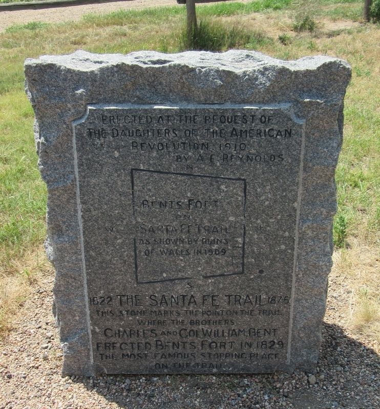
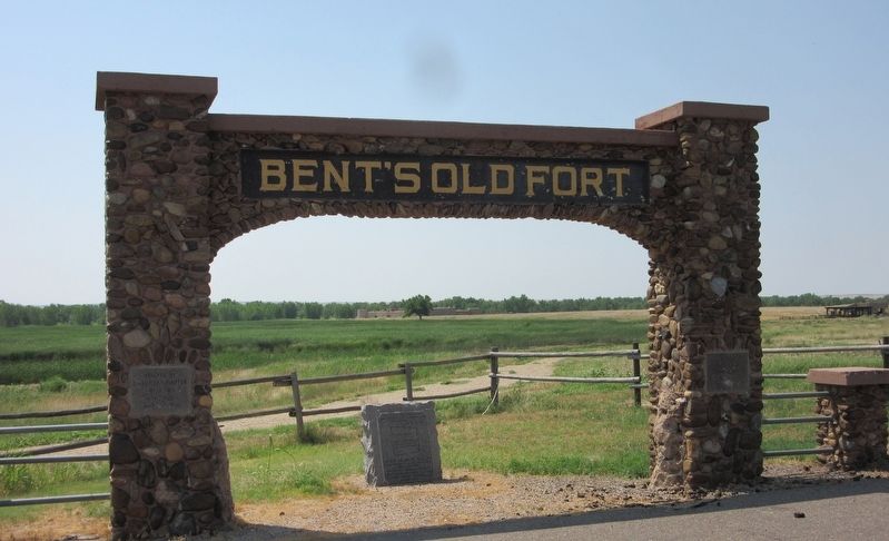
Bent's Fort on Santa Fe Trail
Erected at the request of the Daughters of the American Revolution 1910 by A.E. Reynolds
Bent's Fort Santa Fe Trail as shown by ruins of walls in 1909
1822 The Santa Fe Trail 1875
This stone marks the point of the trail where the brothers Charles and Col William Bent erected Bents Fort in 1829
The most famous stopping place on the trail
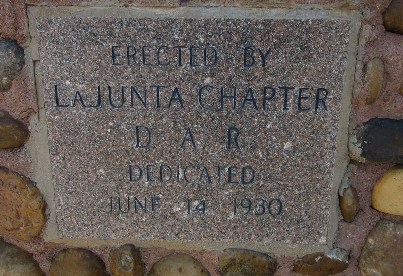
Erected 1910 by Daughters of the American Revolution.
Topics and series. This historical marker is listed in these topic lists: Forts and Castles • Roads & Vehicles • Settlements & Settlers. In addition, it is included in the Daughters of the American Revolution, and the Santa Fe Trail series lists. A significant historical year for this entry is 1829.
Location. 38° 2.767′ N, 103° 25.848′ W. Marker is near La Junta, Colorado, in Otero County. Marker is on Colorado 194, 0.1 miles east of County Road 35, on the right when traveling east. Touch for map. Marker is at or near this postal address: 35273 CO-194, La Junta CO 81050, United States of America. Touch for directions.
Other nearby markers. At least 8 other markers are within walking distance of this marker. Santa Fe Trail (here, next to this marker); Traveling Through History (about 400 feet away, measured in a direct line); Trading Post on the Trail (approx. 0.2 miles away); Welcome to the Borderlands (approx. 0.2 miles away); A Babel-Tongued Multitude (approx. 0.2 miles away); An Adobe Outpost (approx. 0.2 miles away); No Fur, No Fort (approx. 0.2 miles away); Mountain Men to Merchants (approx. 0.2 miles away). Touch for a list and map of all markers in La Junta.
Credits. This page was last revised on February 17, 2022. It was originally submitted on February 13, 2022, by Jason Armstrong of Talihina, Oklahoma. This page has been viewed 293 times since then and 48 times this year. Photos: 1, 2, 3, 4. submitted on February 13, 2022, by Jason Armstrong of Talihina, Oklahoma. • Andrew Ruppenstein was the editor who published this page.


