Yosemite Valley in Mariposa County, California — The American West (Pacific Coastal)
Avalanche!
Olmsted Point
— Yosemite National Park —
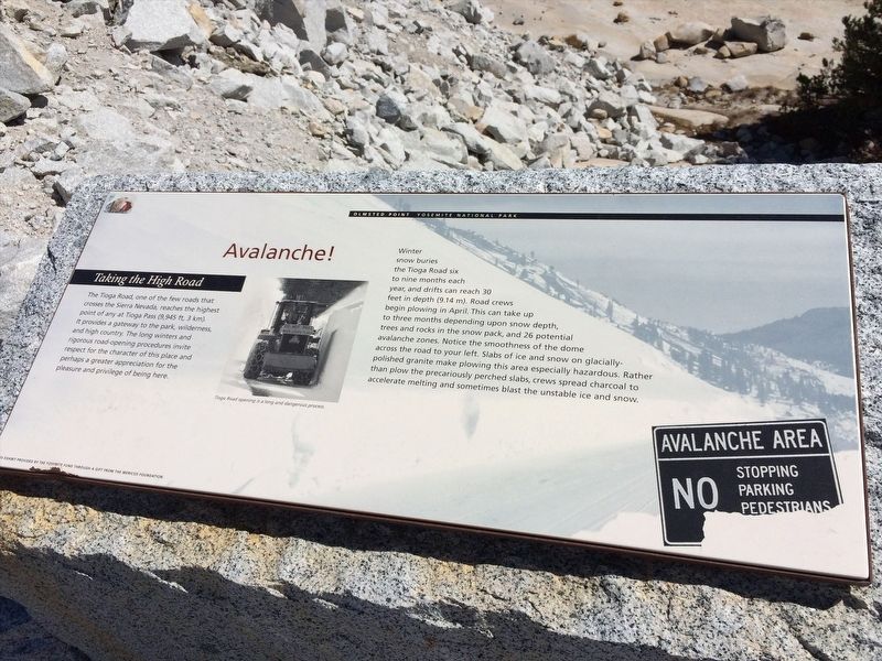
The Tioga Road, one of the few roads that crosses the Sierra Nevada, reaches the highest point of any at Tioga Pass (9,945ft, 3km). It provides a gateway to the park, wilderness, and high country. The long winters and rigorous road-opening procedures invite respect for the character of this place and perhaps a greater appreciation for the pleasure and privilege of being here.
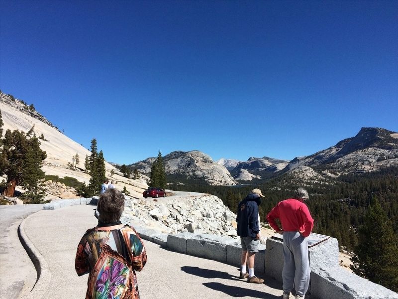
Winter snow buried the Tioga Road six to nine months each year, and drifts can reach 30 feet in depth (9.14 m). Road crew begin plowing in April. This can take up to three months depending upon snow depth, trees and rocks in the snow pack, and 26 potential avalanche zones. Notice the smoothness of the dome across the road to you left. Slabs of ice and snow on glacially polished granite make plowing this area especially hazardous. Rather than plow the precariously perched class, crews speed charcoal to accelerate melting and sometimes blast the unstable ice and snow.
Erected by The Yosemite Fund.
Topics. This historical marker is listed in these topic lists: Disasters • Roads & Vehicles • Waterways & Vessels.
Location. 37° 48.659′ N, 119° 29.061′ W. Marker is in Yosemite Valley, California, in Mariposa County. Marker is on Tioga Road (California Route 120), on the right when traveling east. Touch for map. Marker is in this post office area: Yosemite National Park CA 95389, United States of America. Touch for directions.
Other nearby markers. At least 8 other markers are within 7 miles of this marker, measured as the crow flies. Olmsted Point (about 300 feet away, measured in a direct line); Selling the Sublime (approx. 5.6 miles away); A Seasonal Lake (approx. 5.6 miles away); Visitors at Mirror Lake (approx. 5.6 miles away); Bracken Fern and Baskets (approx. 5.6 miles away); Mirror Lake Resources (approx. 5.7 miles away); Natural Dam (approx. 5.7 miles away); The Ahwahnee Porte Cochere (approx. 6.6 miles away).
Credits. This page was last revised on February 25, 2022. It was originally submitted on February 15, 2022, by Adam Margolis of Mission Viejo, California. This page has been viewed 128 times since then and 10 times this year. Photos: 1, 2. submitted on February 15, 2022, by Adam Margolis of Mission Viejo, California. • J. Makali Bruton was the editor who published this page.

