Near Freedom in Woods County, Oklahoma — The American South (West South Central)
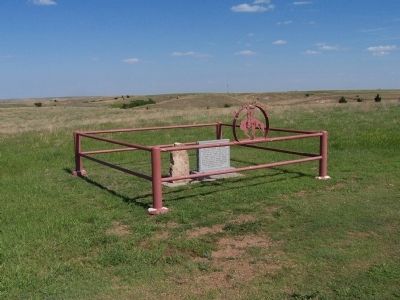
Cowboy Cemetery
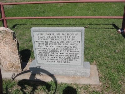
On September 12, 1878, the bodies of Reuben Bristow and Fred Clark were found near here. It was believed they had been killed by Northern Cheyenne Indians led by Chief Dull Knife. Bristow and Clark were cowboys hauling salt for Comanche pool cattle when Dull Knife fled harsh conditions on the reservation near Canton. The salt haulers, probably killed for their mule team, inadvertently crossed the path of the Cheyenne during their desparate flight home to the Northern Plains.
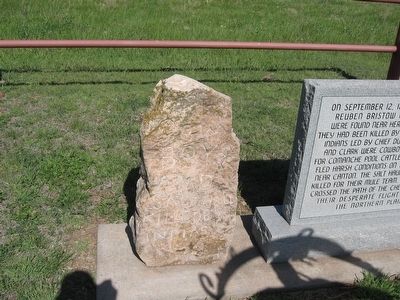
Reverse:
Monument donated by Alva Monument
Buddy Sams
Alva, Oklahoma
Granite donated by Southern Granite Co.
David Edward
Elberton, Georgia
Erected by Buddy Sams of Alva Monument and David Edwards of Southern Granite Co.
Topics. This historical marker is listed in these topic lists: Cemeteries & Burial Sites • Native Americans. A significant historical month for this entry is September 1782.
Location. 36° 57.995′ N, 99° 8.979′ W. Marker is near Freedom, Oklahoma, in Woods County. Marker is on D0032 Road. Touch for map. Marker is in this post office area: Freedom OK 73842, United States of America. Touch for directions.
Other nearby markers. At least 1 other marker is within 12 miles of this marker, measured as the crow flies. Battle of Turkey Springs, I.T. (approx. 11.4 miles away).
Click on the ad for more information.
Please report objectionable advertising to the Editor.
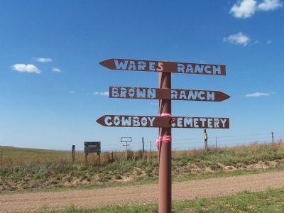
sectionhead>More about this marker. The Cowboy Cemetery is about 12 miles north of Camp Houston. You drive north of U.S. 64 from Camp Houston (north of Freedom, OK) until the pavement ends and you get to a Y. You will see an arrow pointing left that says Cowboy Cemetery. You will drive west along a winding dirt road for a few miles. The Cowboy Cemetery is on the right side of the road.Please report objectionable advertising to the Editor.
Also see . . . Cowboy Cemetery Information. (Submitted on May 20, 2009, by Kevin W. of Stafford, Virginia.)
Credits. This page was last revised on June 16, 2016. It was originally submitted on May 20, 2009, by Kevin W. of Stafford, Virginia. This page has been viewed 2,291 times since then and 75 times this year. Photos: 1, 2, 3, 4, 5. submitted on May 20, 2009, by Kevin W. of Stafford, Virginia.


