Mammoth Spring in Fulton County, Arkansas — The American South (West South Central)
The Development of Mammoth Spring

Photographed By Cosmos Mariner, August 19, 2021
1. The Development of Mammoth Spring Marker
"A Brief History of Mammoth Spring, Arkansas"
How it all Began: Arkansas-Louisiana Seventh-day Adventist History website entry
Click for more information.
How it all Began: Arkansas-Louisiana Seventh-day Adventist History website entry
Click for more information.
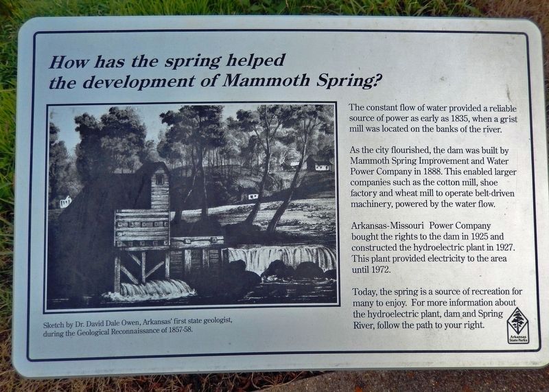
How has the spring helped the development of Mammoth Spring?
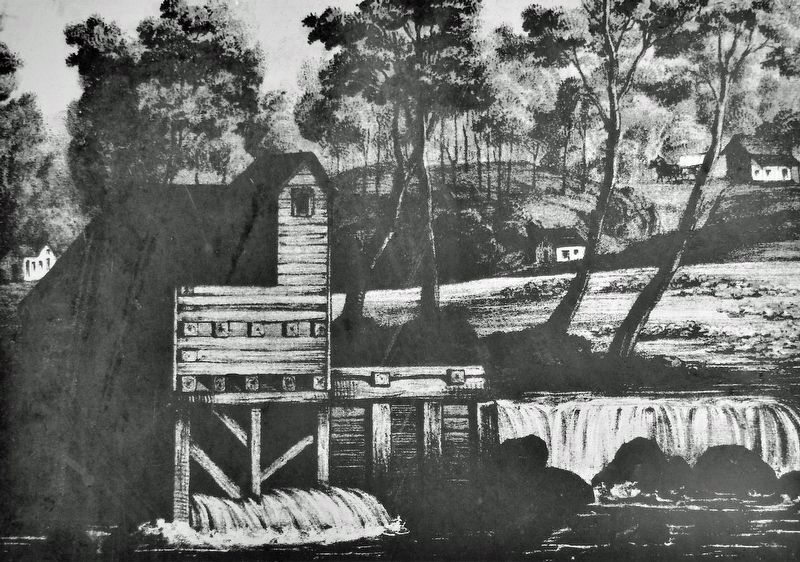
The constant flow of water provided a reliable source of power as early as 1835, when a grist mill was located on the banks of the river.
As the city flourished, the dam was built by Mammoth Spring Improvement and Water Power Company in 1888. This enabled larger companies such as the cotton mill, shoe factory and wheat mill to operate belt-driven machinery, powered by the water flow.
Arkansas-Missouri Power Company bought the rights to the dam in 1925 and constructed the hydroelectric plant in 1927. This plant provided electricity to the area until 1972.
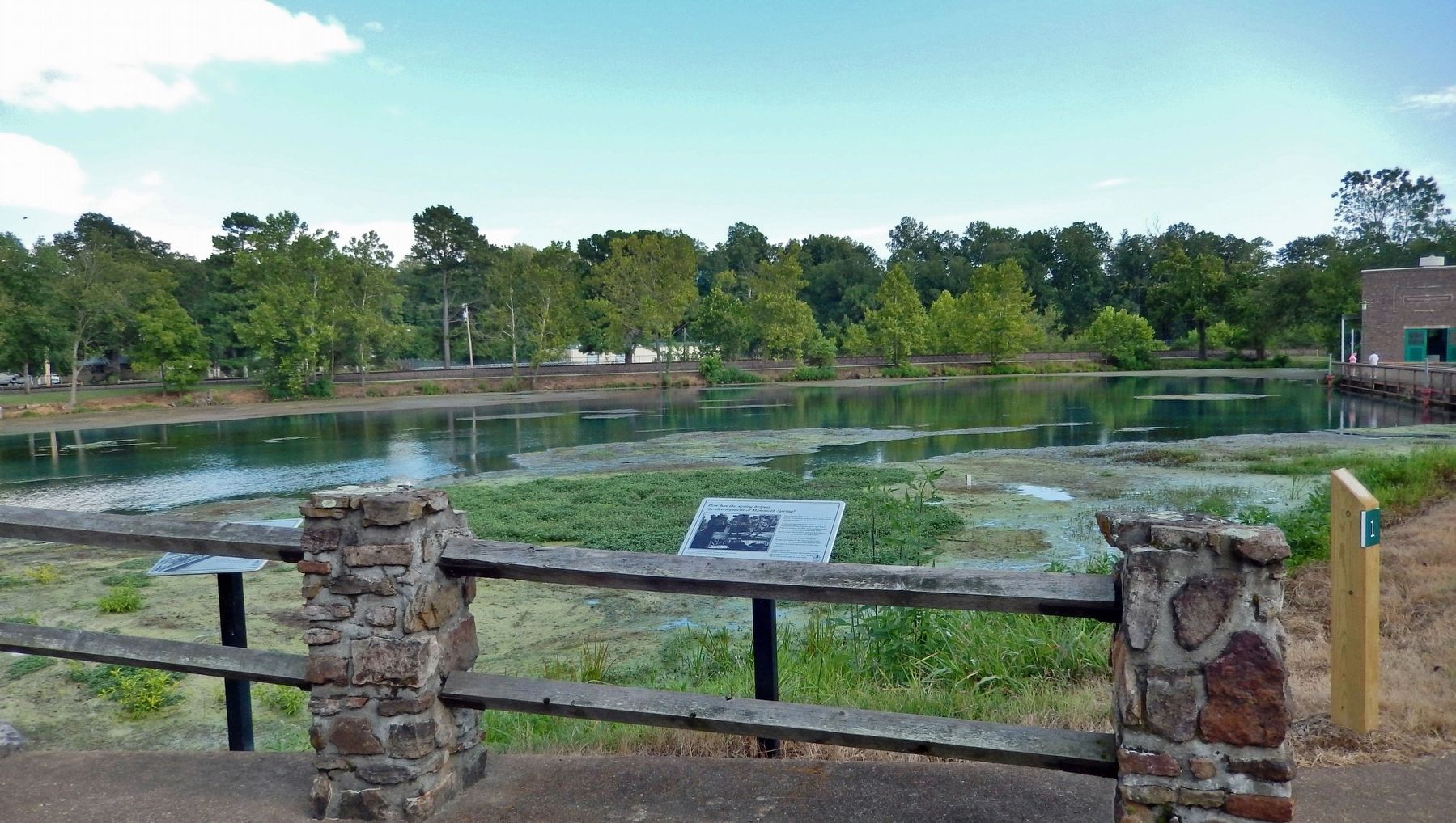
Today, the spring is a source of recreation for many to enjoy. For more information about the hydroelectric plant, dam and Spring River, follow the path to your right.
Erected by Arkansas State Parks.
Topics. This historical marker is listed in these topic lists: Industry & Commerce • Parks & Recreational Areas • Settlements & Settlers • Waterways & Vessels. A significant historical year for this entry is 1835.
Location. 36° 29.744′ N, 91° 32.085′ W. Marker is in Mammoth Spring, Arkansas, in Fulton County. Marker can be reached from the intersection of U.S. 63 and Main Street (State Route 9), on the right when traveling north. Marker is located along the Mammoth Spring State Park interpretive trail. Touch for map. Marker is at or near this postal address: 17 US Highway 63, Mammoth Spring AR 72554, United States of America. Touch for directions.
Other nearby markers. At least 8 other markers are within walking distance of this marker. What Am I Standing On? (here, next to this marker); Mammoth Spring (within shouting distance of this marker); Dam Site #1 and Mammoth Spring Milling Company (within shouting distance of this marker); Arkansas-Missouri Power Company (about 300 feet away, measured in a direct line); The Big Gun (about 400 feet away); Old Soldier's Reunion (about 400 feet away); The Inspiration for The Grand Ole Opry (about 400 feet away); Mammoth Spring Depot (about 500 feet away). Touch for a list and map of all markers in Mammoth Spring.
Regarding The Development of Mammoth Spring. National Register of Historic Places #09000512; listed as Mammoth Spring Dam and Lake.
Related markers. Click here for a list of markers that are related to this marker. Mammoth Spring State Park
Also see . . . Mammoth Spring. Encyclopedia of Arkansas website entry:
Located at the head of the Spring River on the Arkansas-Missouri border, the city of Mammoth Spring has always depended upon the large, naturally flowing spring of the same name for its existence. The town started as a railroad stop, bringing visitors and much needed goods to Fulton County during the late nineteenth and early twentieth centuries. From the 1880s to the 1920s, Mammoth Spring had a textile mill, a shoe manufacturing plant, and a soda bottling factory. Calumet Cotton Factory was the major employer in 1889 and was described “as a 2-story brick textile mill with 120 looms, 5000 spindles, and 150 employees.” Although the factories are gone and the train depot is now a museum, Mammoth Spring continues to attract new citizens and tourists.(Submitted on February 17, 2022, by Cosmos Mariner of Cape Canaveral, Florida.)
Credits. This page was last revised on April 17, 2022. It was originally submitted on February 17, 2022, by Cosmos Mariner of Cape Canaveral, Florida. This page has been viewed 325 times since then and 39 times this year. Photos: 1, 2, 3. submitted on February 17, 2022, by Cosmos Mariner of Cape Canaveral, Florida.

