Mammoth Spring in Fulton County, Arkansas — The American South (West South Central)
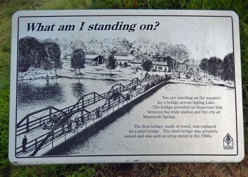
What Am I Standing On?
The first bridge, made of wood, was replaced by a steel bridge. The steel bridge was privately owned and was sold as scrap metal in the 1960s.
Erected by Arkansas State Parks.
Topics. This historical marker is listed in these topic lists: Bridges & Viaducts • Parks & Recreational Areas • Railroads & Streetcars • Waterways & Vessels.
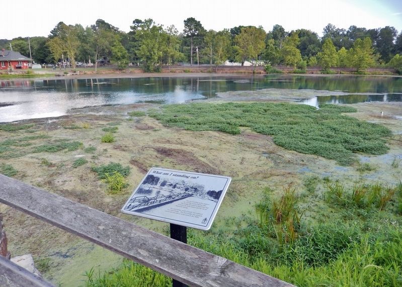
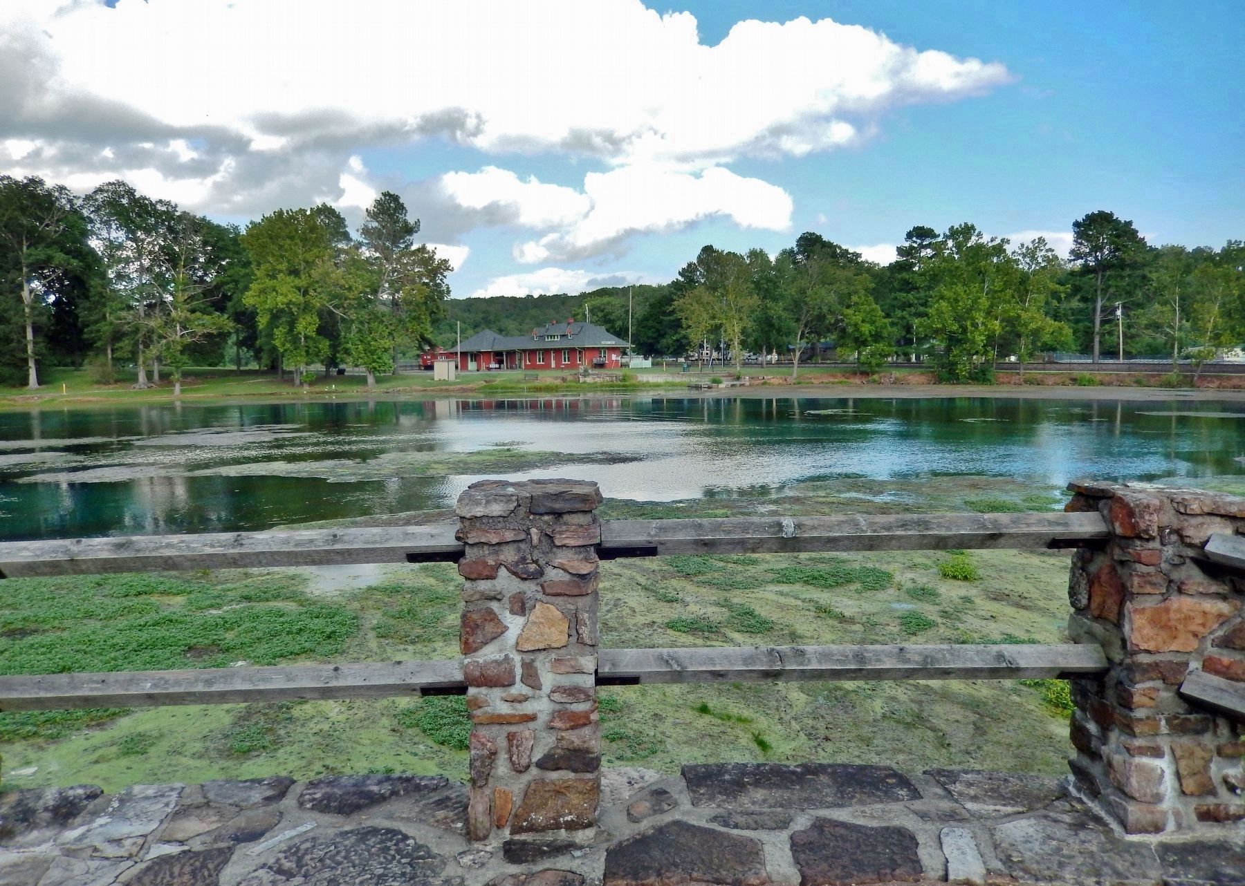
Location. 36° 29.744′ N, 91° 32.083′ W. Marker is in Mammoth Spring, Arkansas, in Fulton County. Marker can be reached from the intersection of U.S. 63 and Main Street (State Route 9), on the right when traveling north. Marker and former bridge support are located along the Mammoth Spring State Park interpretive trail. Touch for map. Marker is at or near this postal address: 17 US Highway 63, Mammoth Spring AR 72554, United States of America. Touch for directions.
Other nearby markers. At least 8 other markers are within walking distance of this marker. The Development of Mammoth Spring (here, next to this marker); Mammoth Spring (within shouting distance of this marker); Dam Site #1 and Mammoth Spring Milling Company (within shouting distance of this marker); Arkansas-Missouri Power Company (about 300 feet away, measured in a direct line); The Big Gun (about 400 feet away); Old Soldier's Reunion (about 400 feet away); The Inspiration for The Grand Ole Opry (about 400 feet away); Mammoth Spring Depot (about 500 feet away). Touch for a list and map of all markers in Mammoth Spring.
Related markers. Click here for a list of markers that are related to this marker. Mammoth Spring State Park
Credits. This page was last revised on February 17, 2022. It was originally submitted on February 17, 2022, by Cosmos Mariner of Cape Canaveral, Florida. This page has been viewed 143 times since then and 10 times this year. Photos: 1, 2, 3. submitted on February 17, 2022, by Cosmos Mariner of Cape Canaveral, Florida.


