Lincoln Park in Morris County, New Jersey — The American Northeast (Mid-Atlantic)
Morris Canal
1824 1924
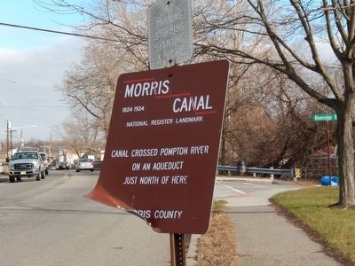
Photographed by Don Morfe, December 8, 2015
1. Morris Canal Marker
Canal crossed Pompton River on an aqueduct just north of here
Erected by Morris County.
Topics and series. This historical marker is listed in this topic list: Waterways & Vessels. In addition, it is included in the Morris Canal, and the National Historic Landmarks series lists.
Location. 40° 54.872′ N, 74° 16.318′ W. Marker is in Lincoln Park, New Jersey, in Morris County. It is on Boonton Turnpike (US 202). The marker is across the street from Aqueduct Park. Touch for map. Marker is in this post office area: Lincoln Park NJ 07035, United States of America. Touch for directions.

Regionally, this marker is in North Jersey and in the New York City Metropolitan Area. It is also in the American Northeast and in the Mid-Atlantic. Globally, it is in North America, the Western Hemisphere, the Western World, and the Anglosphere. Historically, it finds itself in what was once New Netherland and also one of the original Thirteen Colonies.
Other nearby markers. At least 8 other markers are within 2 miles of this marker, measured as the
this page online
Other markers no longer nearby. Dey Mansion (was approx. 2 miles away but has been confirmed missing); Headquarters of General George Washington (was approx. 2 miles away but has been confirmed missing).
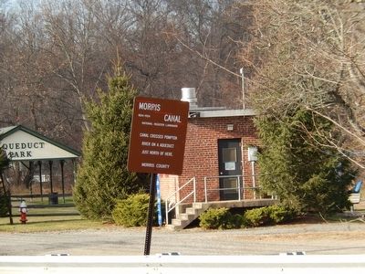
Photographed by Don Morfe, December 8, 2015
2. Morris Canal Marker
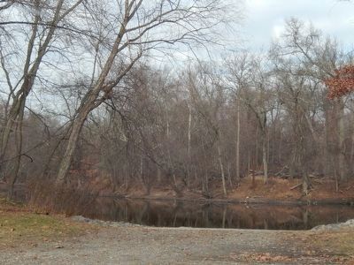
Photographed by Don Morfe, December 8, 2015
3. Pompton River
Credits. This page was last revised on February 22, 2022. It was originally submitted on December 14, 2015, by Don Morfe of Baltimore, Maryland. This page has been viewed 486 times since then and 40 times this year. Last updated on February 18, 2022, by Carl Gordon Moore Jr. of North East, Maryland. Photos: 1, 2, 3. submitted on December 14, 2015, by Don Morfe of Baltimore, Maryland. • J. Makali Bruton was the editor who published this page.
