Downtown in Sioux Falls in Minnehaha County, South Dakota — The American Midwest (Upper Plains)
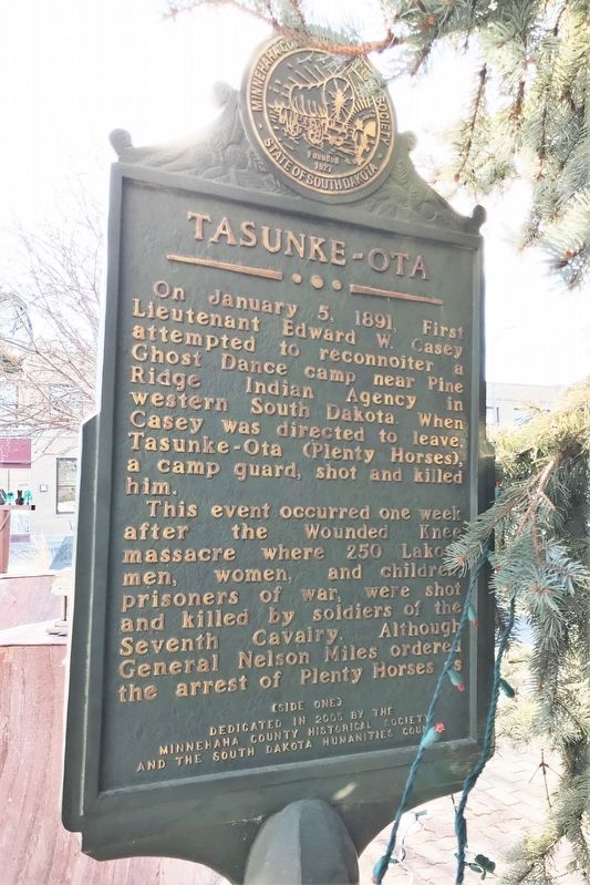
Tasunke-Ota
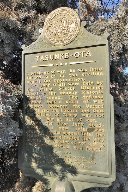
This event occurred one week after the Wounded Knee massacre where 250 Lakota men, women, and children, prisoners of war, were shot and killed by soldiers of the Seventh Cavalry. Although General Nelson Miles ordered the arrest of Plenty Horses as a prisoner of war, he was later turned over to the civilian courts for prosecution.
Two jury trials were held by the United States District Court in the nearby Masonic Temple Annex. The defense argued that a state of war existed between the United States and the Lakota and that the killing of Casey was not murder, but an act of war.
When the first jury deadlocked, a new trial was ordered. In the second trial the federal court directed the jury to return a verdict of not guilty, and Plenty Horses was freed.
Erected 2005 by the Minnehaha County Historical Society, the South Dakota Humanities Council, the City of Sioux Falls, and in honor of Thomas A. Blake.
Topics. This historical marker is listed in these topic lists: Native Americans • Wars, US Indian. A significant historical date for this entry is January 5, 1891.
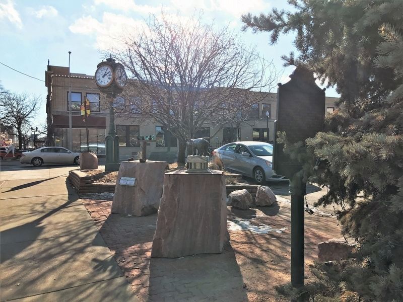
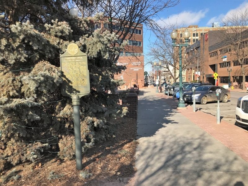
Location. 43° 32.774′ N, 96° 43.619′ W. Marker is in Sioux Falls, South Dakota, in Minnehaha County. It is in Downtown. Marker is on South Phillips Avenue north of West 10th Street (State Highway 42), on the right when traveling south. Touch for map. Marker is at or near this postal address: 121 S Phillips Ave, Sioux Falls SD 57104, United States of America. Touch for directions.
Other nearby markers. At least 8 other markers are within walking distance of this marker. Hattie C. Phillips (a few steps from this marker); Horse-Drawn Streetcars (within shouting distance of this marker); Site of First Home (within shouting distance of this marker); Phillips Avenue Plaza (within shouting distance of this marker); Radio Station KSOO (about 300 feet away, measured in a direct line); The First National Bank in Sioux Falls (about 300 feet away); Radio Station WFAT (about 500 feet away); The "Squatter" Government at Sioux Falls City (about 500 feet away). Touch for a list and map of all markers in Sioux Falls.
Credits. This page was last revised on February 16, 2023. It was originally submitted on February 19, 2022. This page has been viewed 174 times since then and 22 times this year. Photos: 1, 2, 3, 4. submitted on February 19, 2022.


