
Downtown in Sioux Falls in Minnehaha County, South Dakota — The American Midwest (Upper Plains)
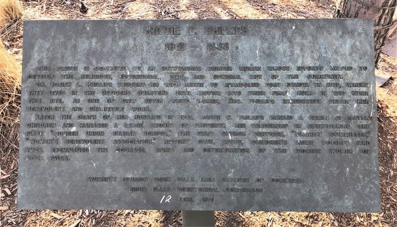
Hattie C. Phillips
1841 – 1933
February 6, 2022
1. Hattie C. Phillips Marker
Dr. Josiah L. Phillips brought his wife Hattie to abandoned Fort Dakota in 1870, where they lived in the officers quarters until moving into their first home in 1873 near this site. As one of only seven white women, Mrs. Phillips immediately began her benevolent and charitable work.
After the death of her husband in 1882, Hattie C. Phillips raised a family of seven children and managed a large amount of property. Her leadership in establishing the first "Pioneer Union Sunday School," the first church services, "Charity Committee," "Women's Benevolent Association," history club, WCTU, Children's Home Society and YMCA, exemplified the courage, spirit and determination of the pioneer women of Sioux Falls.
Sioux Falls Bicentennial Commission
June, 1976
Erected 1976 by Women's Division – Sioux Falls Area Chamber of Commerce and Sioux Falls Bicentennial Commission.
Topics. This historical marker
this page online
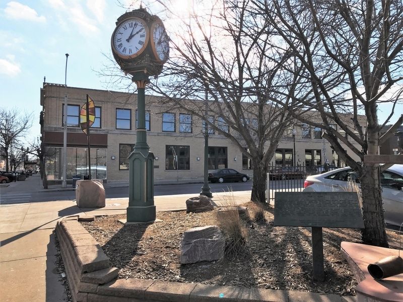
Location. 43° 32.769′ N, 96° 43.619′ W. Marker is in Sioux Falls, South Dakota, in Minnehaha County. It is in Downtown. It is at the intersection of South Phillips Avenue and West 10th Street (State Highway 42), on the right when traveling south on South Phillips Avenue. Touch for map. Marker is at or near this postal address: 121 S Phillips Ave, Sioux Falls SD 57104, United States of America. Touch for directions.

Regionally, this marker is in East River. It is also in the American Midwest, in the Lewis & Clark Corridor, in the Corn Belt, on the prairies, and on the Northern Plains. Globally, it is in North America, the Western Hemisphere, the Western World, and the Anglosphere. Historically, it finds itself in what was once Rupert’s Land and also the Louisiana Purchase.
Other nearby markers. At least 8 other markers are within walking distance of this marker: Tasunke-Ota (a few steps from this marker); Site of First Home (within shouting distance of
February 6, 2022
2. Hattie C. Phillips Marker
Credits. This page was last revised on February 16, 2023. It was originally submitted on February 19, 2022. This page has been viewed 552 times since then and 62 times this year. Photos: 1, 2. submitted on February 19, 2022.
