Near Fredericksburg in Spotsylvania County, Virginia — The American South (Mid-Atlantic)
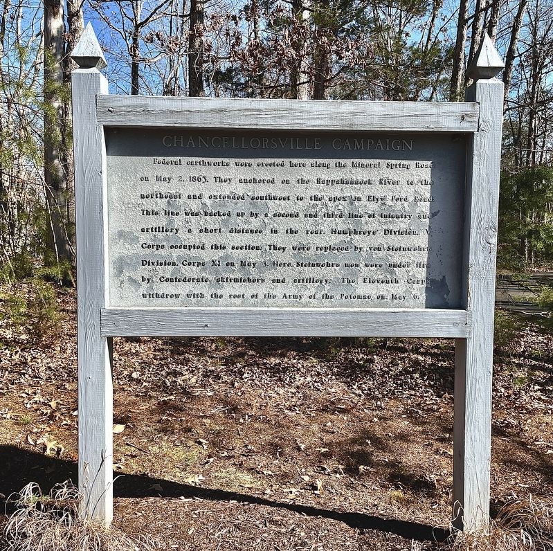
Chancellorsville Campaign
Erected by National Park Service, U.S. Department of the Interior.
Topics. This historical marker is listed in this topic list: War, US Civil. A significant historical date for this entry is May 2, 1863.
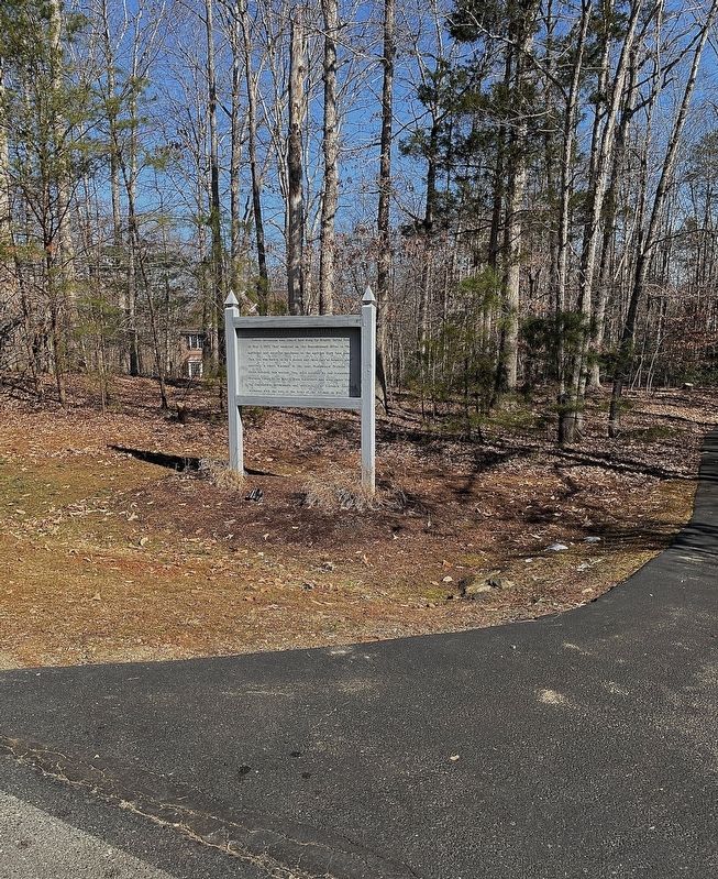
Location. 38° 19.746′ N, 77° 37.035′ W. Marker is near Fredericksburg, Virginia, in Spotsylvania County. Marker is on Twelfth Corps Drive, 0.4 miles east of General Geary Court, on the left when traveling east. Marker located within the Estates of Chancellorsville residential community. Touch for map. Marker is in this post office area: Fredericksburg VA 22407, United States of America. Touch for directions.
Other nearby markers. At least 8 other markers are within 2 miles of this marker, measured as the crow flies. A different marker also named Chancellorsville Campaign (approx. one mile away); a different marker also named Chancellorsville Campaign (approx. 1.1 miles away); The 124th New York Regiment’s First Battle (approx. 1.2 miles away); Union Line Contained Along Mineral Springs Road (approx. 1.2 miles away); Apex of Hooker’s Last Line (approx. 1.3 miles away); Hooker's Final Bastion (approx. 1.4 miles away); Union Lifeline (approx. 1.4 miles away); Lives Transformed (approx. 1.4 miles away). Touch for a list and map of all markers in Fredericksburg.
Also see . . . Battle of Chancellorsville. (Submitted on February 20, 2022, by Brandon D Cross of Flagler Beach, Florida.)
Credits. This page was last revised on February 2, 2023. It was originally submitted on February 20, 2022, by Brandon D Cross of Flagler Beach, Florida. This page has been viewed 126 times since then and 9 times this year. Photos: 1, 2. submitted on February 20, 2022, by Brandon D Cross of Flagler Beach, Florida. • Bernard Fisher was the editor who published this page.

