Near Springs in Somerset County, Pennsylvania — The American Northeast (Mid-Atlantic)
You are now standing more than fifty feet above the Highest Point

Photographed by Craig Doda, October 18, 2019
1. You are now standing more than fifty feet above the Highest Point Marker
To the northwest just beyond the edge of the circular roadway SORTED STONE PATTERNS can be seen. Many years frost upheavals have moved the boulders into these patterns.
It may seem as you look to the north or the southwest, that the hills are higher than the HIGH POINT This is an optical illusion. The point north is 3192 ft asl, 21 below the High Point The point to the southwest is 3160 ft asi, 53 ft lower than the High Point The graph above shows why this illusion takes place. Although you are looking down on the rounded hill tops, there is nothing but space beyond from which your minds eye can relate. Most other
this page online
Topics. This historical marker is listed in this topic list: Natural Features.
Location. 39° 47.165′ N, 79° 10.619′ W. Marker is near Springs, Pennsylvania, in Somerset County. It is on S. Wolf Rock Road, on the left when traveling south. Touch for map. Marker is in this post office area: Salisbury PA 15558, United States of America. Touch for directions.

Regionally, this marker is in Pennsylvania’s Laurel Highlands. It is also in the American Northeast, in the Mid-Atlantic, in Appalachia, and specifically in Northern Appalachia. Globally, it is in North America, the Western Hemisphere, the Western World, and the Anglosphere. Historically, it finds itself in what was once the Haudenosaunee (Iroquois) Confederacy and also one of the original Thirteen Colonies.
Other nearby markers. At least 8 other markers are within walking distance of this marker:

Photographed by Craig Doda, October 18, 2019
2. You are now standing more than fifty feet above the Highest Point Marker
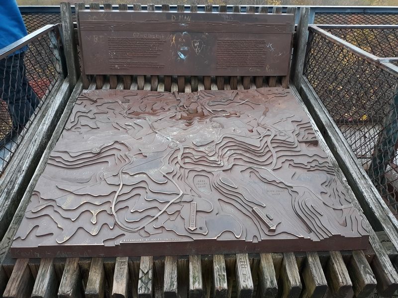
Photographed by Craig Doda, October 18, 2019
3. You are now standing more than fifty feet above the Highest Point Marker
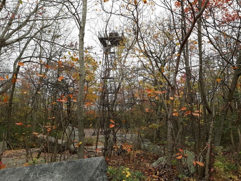
Photographed by Craig Doda, October 18, 2019
4. You are now standing more than fifty feet above the Highest Point Marker
The marker is at the top of The Mount Davis lookout tower.
Credits. This page was last revised on March 10, 2022. It was originally submitted on February 20, 2022, by Craig Doda of Napoleon, Ohio. This page has been viewed 247 times since then and 11 times this year. Photos: 1, 2, 3, 4. submitted on February 20, 2022, by Craig Doda of Napoleon, Ohio. • Bill Pfingsten was the editor who published this page.
