Near Springs in Somerset County, Pennsylvania — The American Northeast (Mid-Atlantic)
Baughman Rocks
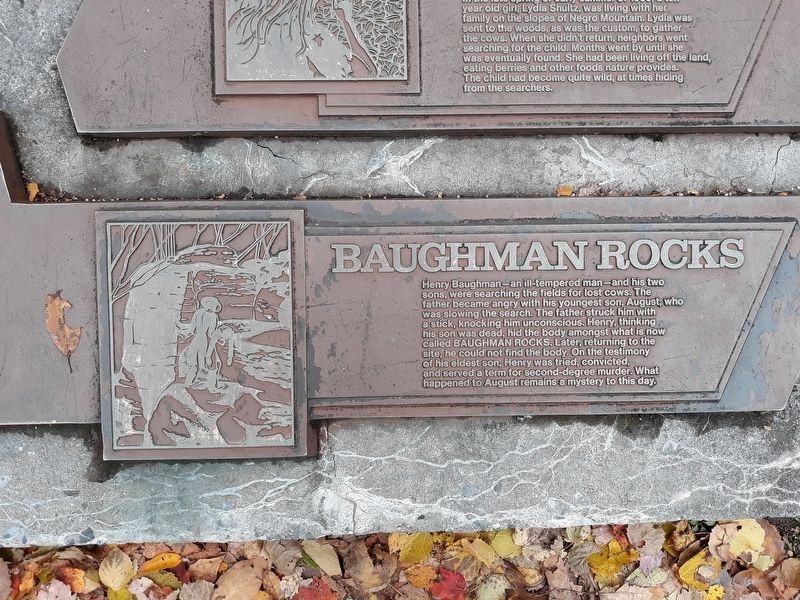
Photographed by Craig Doda, October 18, 2019
1. Baughman Rocks Marker
Topics. This historical marker is listed in this topic list: Notable Events.
Location. 39° 47.158′ N, 79° 10.596′ W. Marker is near Springs, Pennsylvania, in Somerset County. It is on S. Wolf Rock Road, on the right when traveling north. Touch for map. Marker is in this post office area: Salisbury PA 15558, United States of America. Touch for directions.

Regionally, this marker is in Pennsylvania’s Laurel Highlands. It is also in the American Northeast, in the Mid-Atlantic, in Appalachia, and specifically in
this page online
Other nearby markers. At least 8 other markers are within walking distance of this marker: The Wild Child (here, next to this marker); Tar Kiln (here, next to this marker); Industry On Negro Mountain (here, next to this marker); John Nelson Davis (here, next to this marker); Mount Davis (within shouting distance of this marker); You are now standing more than fifty feet above the Highest Point (within shouting distance of this marker); Mt. Davis (within shouting distance of this marker); a different marker also named Baughman Rocks (approx. 0.7 miles away). Touch for a list and map of all markers in Springs.
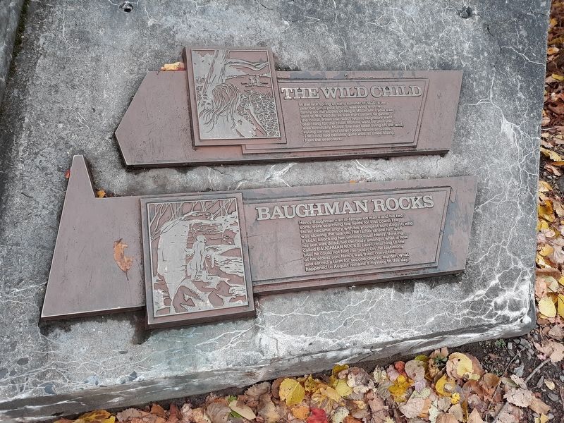
Photographed by Craig Doda, October 18, 2019
2. Baughman Rocks Marker
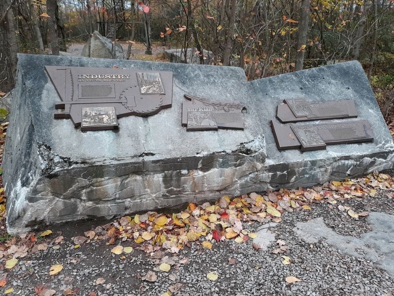
Photographed by Craig Doda, October 18, 2019
3. Baughman Rocks Marker
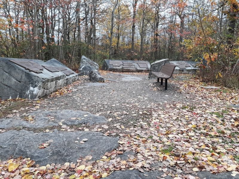
Photographed by Craig Doda, October 18, 2019
4. Baughman Rocks Marker
Credits. This page was last revised on March 10, 2022. It was originally submitted on February 20, 2022, by Craig Doda of Napoleon, Ohio. This page has been viewed 1,408 times since then and 81 times this year. Photos: 1, 2, 3, 4. submitted on February 20, 2022, by Craig Doda of Napoleon, Ohio. • Bill Pfingsten was the editor who published this page.
