Fannin in Goliad County, Texas — The American South (West South Central)
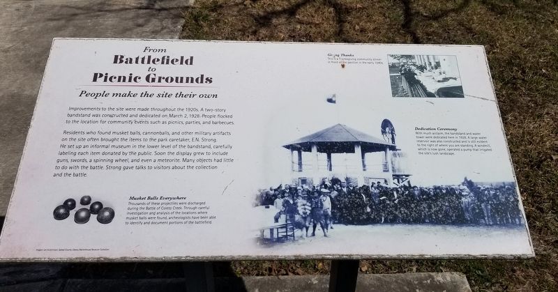
From Battlefield to Picnic Grounds
People make the site their own
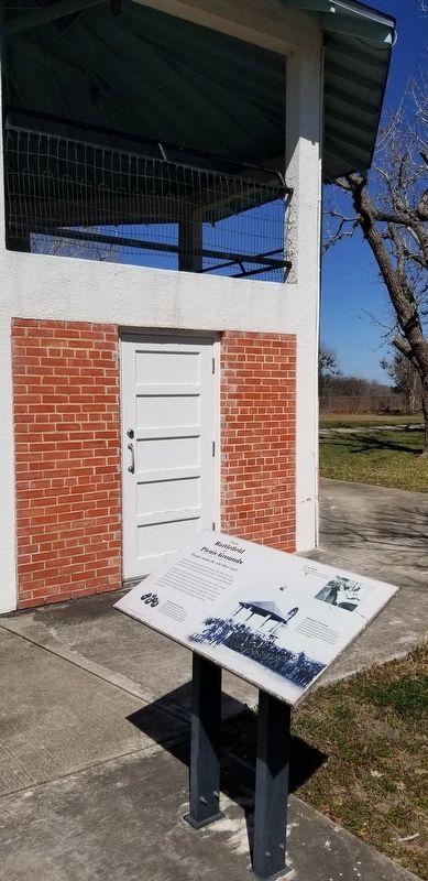
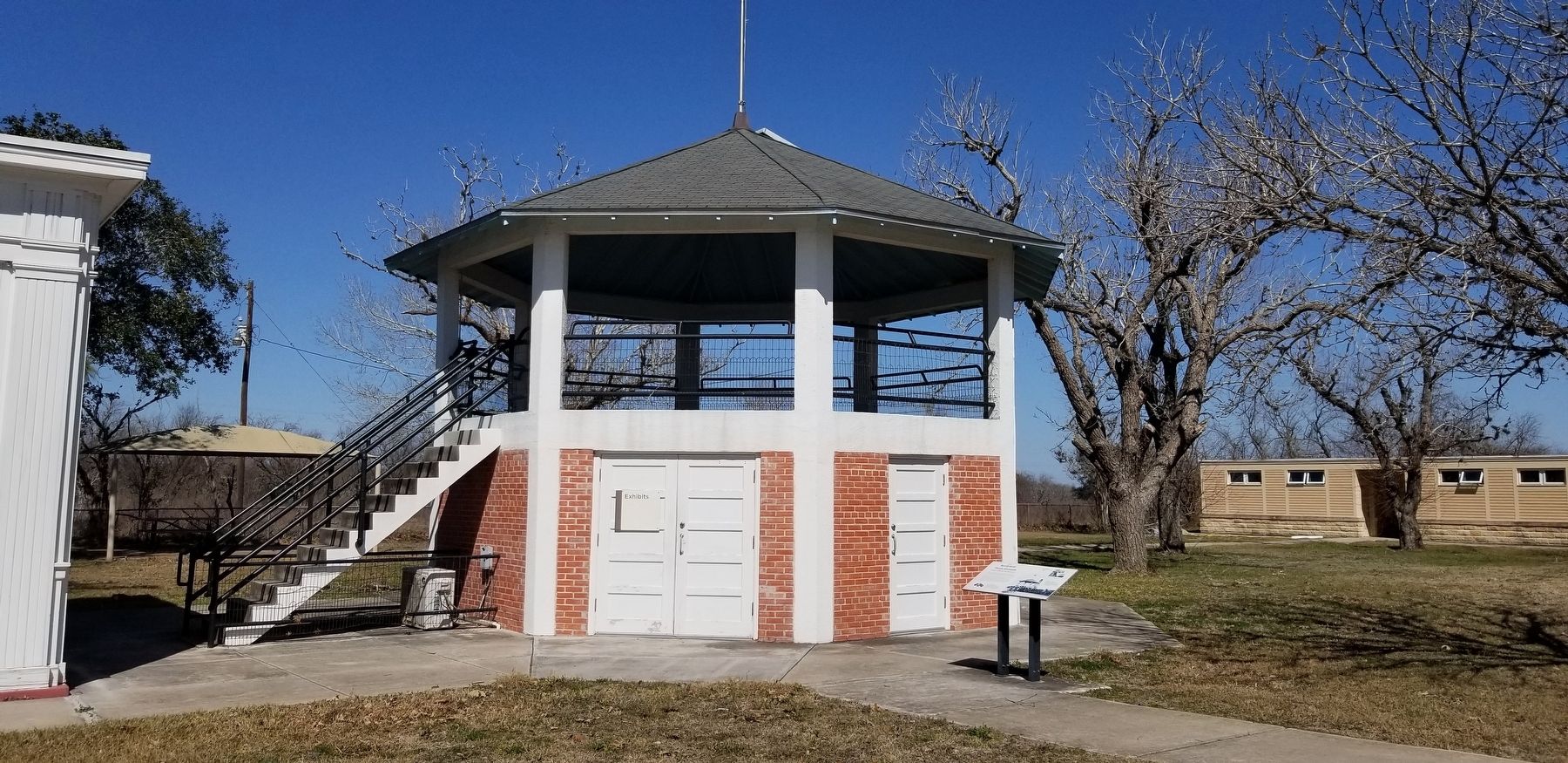
Improvements to the site were made throughout the 1920s. A two-story bandstand was constructed and dedicated on March 2, 1928. People flocked to the location for community events such as picnics, parties, and barbecues.
Residents who found musket balls, cannonballs, and other military artifacts on the site often brought the items to the park caretaker, E.N. Strong. He set up an informal museum in the lower level of the bandstand, carefully labeling each item donated by the public. Soon the display grew to include guns, swords, a spinning wheel, and even a meteorite. Many objects had little to do with the battle. Strong gave talks to visitors about the collection and the battle.
Captions
Lower Left: Musket Balls Everywhere
Thousands of these projectiles were discharged during the Battle of Coleto Creek. Through careful investigation and analysis of the locations where musket balls were found, archeologists have been able to identify and document portions of the battlefield.
Upper Right: Giving Thanks
This is a Thanksgiving community dinner in front of the pavillon in the early 1940s.
Lower Left: Dedication Ceremony
With much acclaim, the bandstand and water tower were dedicated here in 1928. A large water reservoir was also constructed and is still evident to the right of where you are standing. A windmill, which is now gone, operated a pump that irrigated the site's lush landscape.
Images: Lee Hutchinson; Goliad County Library, Markethouse Museun Collection
Erected by Fannin Battleground State Historic Site.
Topics. This historical marker is listed in these topic lists: Parks & Recreational Areas • War, Texas Independence. A significant historical date for this entry is March 2, 1928.
Location. 28° 41.232′ N, 97° 13.953′ W. Marker is in Fannin, Texas, in Goliad County. Marker can be reached from the intersection of State Park Road 27 and Farm to Market Road 2506. The marker is located on the northeastern section of the Fannin Battleground State Historic Site. Touch for map. Marker is at or near this postal address: 734 FM 2506, Fannin TX 77960, United States of America. Touch for directions.
Other nearby markers. At least 8 other markers are within walking distance of this marker. People Make a Park (a few steps from this marker); Battle of Coleto and Goliad Massacre (a few steps from this marker); The Centennial (a few steps from this marker); Fannin Battleground Memorial (about 300 feet away, measured in a direct line); A Site for the People (about 400 feet away); Lest We Forget
(about 600 feet away); Remember Goliad! (about 600 feet away); Union Missionary Baptist Church (approx. 0.4 miles away). Touch for a list and map of all markers in Fannin.
More about this marker. The marker is located on the grounds of the Fannin Battleground State Historic Site and there is no entrance fee to access the park. It is free.
Also see . . . Fannin Battleground State Historic Site.
Fannin Battleground State Historic Site is located east of Goliad in Goliad County, Texas. The citizens of Goliad County donated the 14-acre battleground to the State of Texas around 1913. The state originally named it Fannin State Park. The site is currently operated by the Texas Historical Commission and features a stone obelisk, interpretive exhibit, group pavilion, and picnic area. Source: Wikipedia(Submitted on February 20, 2022, by James Hulse of Medina, Texas.)
Credits. This page was last revised on February 21, 2022. It was originally submitted on February 20, 2022, by James Hulse of Medina, Texas. This page has been viewed 133 times since then and 13 times this year. Photos: 1, 2, 3. submitted on February 21, 2022, by James Hulse of Medina, Texas.


