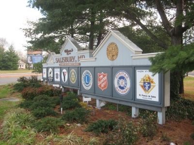
Salisbury in Wicomico County, Maryland — The American Northeast (Mid-Atlantic)
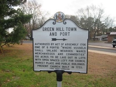
Green Hill Town and Port
Erected by State Roads Commission.
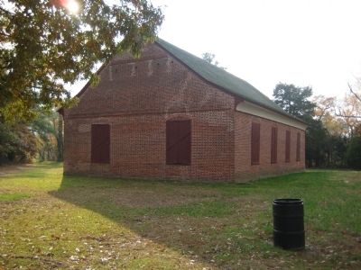
Topics. This historical marker is listed in these topic lists: African Americans • Churches & Religion • Colonial Era • Settlements & Settlers. A significant historical year for this entry is 1706.
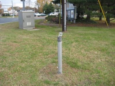
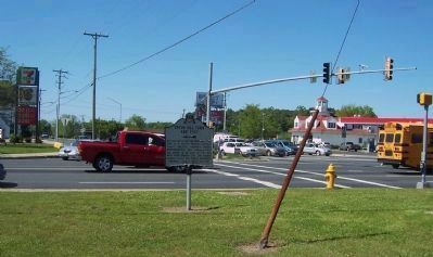
Location. Marker has been reported missing. It was located near 38° 22.167′ N, 75° 36.867′ W. Marker was in Salisbury, Maryland, in Wicomico County. Marker was at the intersection of Salisbury Parkway (Business U.S. 50) and Naticoke Road (Maryland Route 349), on the right when traveling east on Salisbury Parkway. Touch for map. Marker was in this post office area: Salisbury MD 21801, United States of America. Touch for directions.
Other nearby markers. At least 8 other markers are within walking distance of this location. Veterans Memorial (approx. 0.2 miles away); Rockawalkin School (approx. half a mile away); a different marker also named Veterans Memorial (approx. 0.6 miles away); You Are Not Forgotten (approx. 0.6 miles away); St. Peter's Church (approx. ¾ mile away); Newtown Historic District (approx. 0.8 miles away); Historic Byrd Tavern (approx. 0.8 miles away); Wye Oak Seedling (approx. 0.8 miles away). Touch for a list and map of all markers in Salisbury.
Additional keywords. slavery; slave trade.
Credits. This page was last revised on June 16, 2016. It was originally submitted on November 30, 2007, by F. Robby of Baltimore, Maryland. This page has been viewed 1,786 times since then and 58 times this year. Last updated on May 21, 2009, by Richard E. Miller of Oxon Hill, Maryland. Photos: 1. submitted on December 6, 2008, by F. Robby of Baltimore, Maryland. 2. submitted on November 30, 2007, by F. Robby of Baltimore, Maryland. 3. submitted on May 21, 2009, by Richard E. Miller of Oxon Hill, Maryland. 4. submitted on November 30, 2007, by F. Robby of Baltimore, Maryland. 5. submitted on December 6, 2008, by F. Robby of Baltimore, Maryland. • Kevin W. was the editor who published this page.
