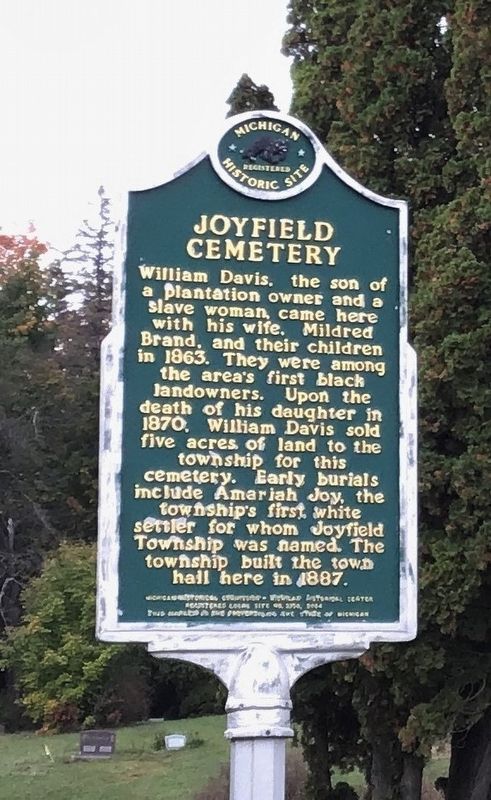
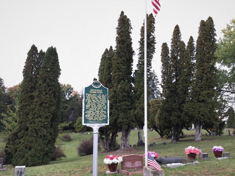
Joyfield Township near Benzonia in Benzie County, Michigan — The American Midwest (Great Lakes)
Joyfield Cemetery
Erected 2004 by Michigan Historical Commission, Michigan Historical Center. (Marker Number L2138.)
Topics and series. This historical marker is listed in these topic lists: African Americans • Cemeteries & Burial Sites. In addition, it is included in the Michigan Historical Commission series list. A significant historical year for this entry is 1863.
Location. 44° 33.097′ N, 86° 6.31′ W. Marker is near Benzonia, Michigan, in Benzie County. It is in Joyfield Township. Marker is on Benzie Highway (U.S. 31) south of King Road, on the right when traveling south. Touch for map. Marker is in this post office area: Benzonia MI 49616, United States of America. Touch for directions.
Other nearby markers. At least 8 other markers are within 8 miles of this marker, measured as the crow flies. Site of the First College Building (approx. 4.6 miles away); Benzonia College (approx. 4.6 miles away); Mills Community House (approx. 4.7 miles away); Bruce Catton (approx. 4.7 miles away); Crystal Lake (approx. 5.3 miles away); Trinity Lutheran Church (approx. 7.6 miles away); Restoring Arcadia Marsh and Fish Passage within Bowens Creek (approx. 7.7 miles away); Harriet Quimby / Childhood Home (approx. 8.1 miles away). Touch for a list and map of all markers in Benzonia.
Also see . . . Michigan Ghost Town: The Empty Fields of Joyfield. Brief history, photographs and maps of the long-gone town. (John Robinson, WFMK-FM, posted Sept. 17, 2019) (Submitted on February 23, 2022, by Duane and Tracy Marsteller of Murfreesboro, Tennessee.)
Credits. This page was last revised on February 7, 2023. It was originally submitted on February 21, 2022, by Duane and Tracy Marsteller of Murfreesboro, Tennessee. This page has been viewed 195 times since then and 12 times this year. Photos: 1, 2. submitted on February 21, 2022, by Duane and Tracy Marsteller of Murfreesboro, Tennessee.

