Key West in Monroe County, Florida — The American South (South Atlantic)
Marine Hospital
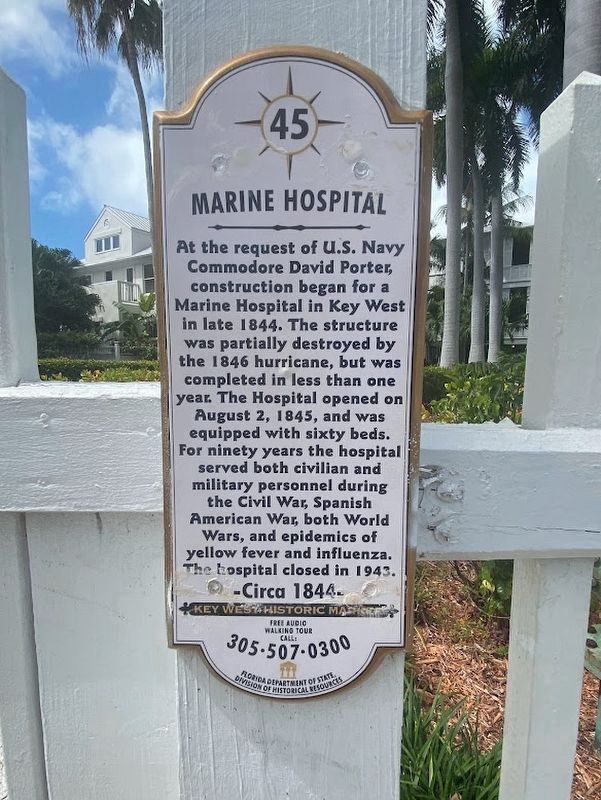
Photographed by Darren Jefferson Clay, March 20, 2024
1. Marine Hospital Marker
Erected by Florida Department of State, Division of Historical Resources. (Marker Number 45.)
Topics. This historical marker is listed in these topic lists: Architecture • Military • Science & Medicine. A significant historical date for this entry is August 2, 1845.
Location. 24° 33.24′ N, 81° 48.387′ W. Marker is in Key West, Florida, in Monroe County. It is at the intersection of Emma Street and Fleming Street, on the right when traveling south on Emma Street. The marker is on the gatepost to the front walkway from the street. Touch for map. Marker is at or near this postal address: 405
this page online

Regionally, this marker is on the Florida Keys. It is also in the American South and on the Gulf Coast. Globally, it is in the North Atlantic Region, North America, a Gulf of Mexico state, the Western Hemisphere, the Western World, and the Anglosphere. Historically, it finds itself in what was once New Spain, the territory of the Mississippian Culture, one of the Confederate States of America, and the Antebellum South.
Other nearby markers. At least 8 other markers are within walking distance of this marker: United States Weather Bureau (about 300 feet away, measured in a direct line); a different marker also named United States Weather Bureau (about 300 feet away); The Outer Mole Pier (about 500 feet away); Submarine Base (about 600 feet away); Union Jack (about 600 feet away); The Truman Annex was formerly the Key West Naval Station (about 700 feet away); The Freedom Tree (about 700 feet away); Old Monroe County Jail (about 700 feet away). Touch for a list and map of all markers in Key West.
Also see . . . Marine Hospital. More
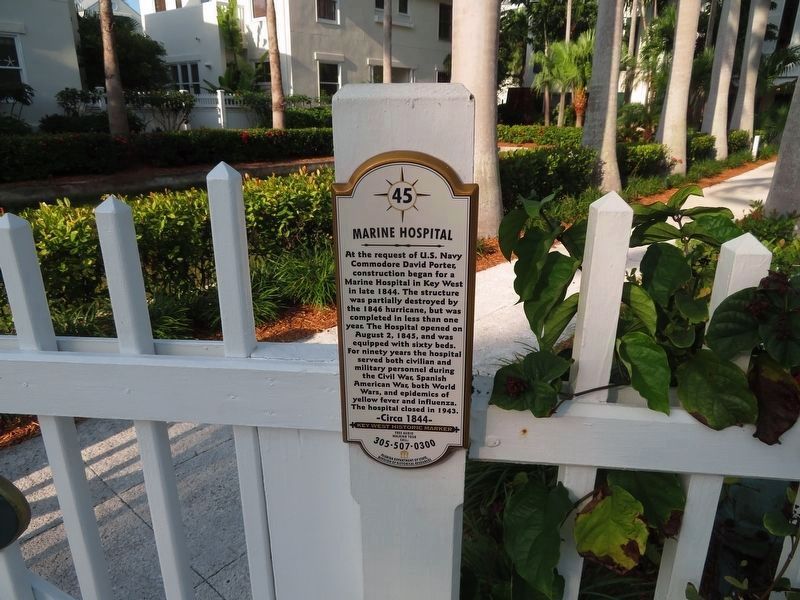

Photographed by Pete Payette, May 6, 2024
3. Marine Hospital Marker

Photographed by Pete Payette, May 6, 2024
4. Marine Hospital Marker

Unknown via Library of Congress, Prints and Photographs Division (public domain), January 1871
5. U.S. Marine Hospital, Key West
The building is on the National Register of Historic Places as part of the US Naval Station submission.

Photographed by Pete Payette, May 6, 2024
6. Marine Hospital Marker
Credits. This page was last revised on August 9, 2026. It was originally submitted on February 21, 2022, by Duane and Tracy Marsteller of Murfreesboro, Tennessee. This page has been viewed 1,001 times since then and 105 times this year. Photos: 1. submitted on June 28, 2024, by Darren Jefferson Clay of Duluth, Georgia. 2. submitted on February 21, 2022, by Duane and Tracy Marsteller of Murfreesboro, Tennessee. 3, 4. submitted on May 13, 2024, by Pete Payette of Orange, Virginia. 5. submitted on February 24, 2022, by Duane and Tracy Marsteller of Murfreesboro, Tennessee. 6. submitted on May 13, 2024, by Pete Payette of Orange, Virginia.
Editor’s want-list for this marker. Wide shot of marker and surrounding area in context • Can you help?
