
Near Dover in Stewart County, Tennessee — The American South (East South Central)
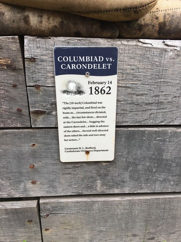
Columbiad vs. Carondelet
February 14 1862
Photographed by Brandon Stahl, April 27, 2017
1. Columbiad vs. Carondelet Marker
Lieutenant H. L. Bedford,
Confederate Ordnance Department
Erected by National Park Service.
Topics. This historical marker is listed in these topic lists: Forts and Castles • War, US Civil. A significant historical date for this entry is February 14, 1862.
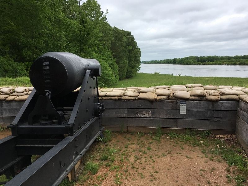
Location. 36° 29.691′ N, 87° 51.431′ W. Marker is near Dover, Tennessee, in Stewart County. It can be reached from Lock D Loop west of Lock D Road, on the left when traveling north. Sign is located at the very last artillery position of the lower water batter. Touch for map. Marker is in this post office area: Dover TN 37058, United States of America. Touch for directions.

Regionally, this marker is in Middle Tennessee and in the Highland Rim. It is also in the American South and specifically in the Upper South. Globally, it is in North America, the Western Hemisphere, the
this page online
Other nearby markers. At least 8 other markers are within walking distance of this marker: U.S. Gunboat St. Louis (within shouting distance of this marker); U.S. Gunboat Louisville (within shouting distance of this marker); U.S.A. Naval Forces, Western Division (within shouting distance of this marker); Killed By a Loose Bolt (within shouting distance of this marker); U.S. Gunboat Pittsburgh (within shouting distance of this marker); See Me Take a Chimney! (within shouting distance of this marker); U.S. Gunboat Carondelet (within shouting distance of this marker); Control the Rivers and Railroads (about 300 feet away, measured in a direct line). Touch for a list and map of all markers in Dover.
Also see . . . The Confederate River Batteries. (Submitted on April 27, 2017, by Brandon Stahl of Fairfax, Virginia.)
Photographed by Brandon Stahl, April 27, 2017
2. Columbiad vs. Carondelet Marker
Credits. This page was last revised on February 22, 2022. It was originally submitted on April 27, 2017, by Brandon Stahl of Fairfax, Virginia. This page has been viewed 415 times since then and 19 times this year. Last updated on February 22, 2022, by Carl Gordon Moore Jr. of North East, Maryland. Photos: 1, 2. submitted on April 27, 2017, by Brandon Stahl of Fairfax, Virginia. • J. Makali Bruton was the editor who published this page.
